Crime & Safety Report for 5432 Brownsville Rd SE, Newark, OH 43056

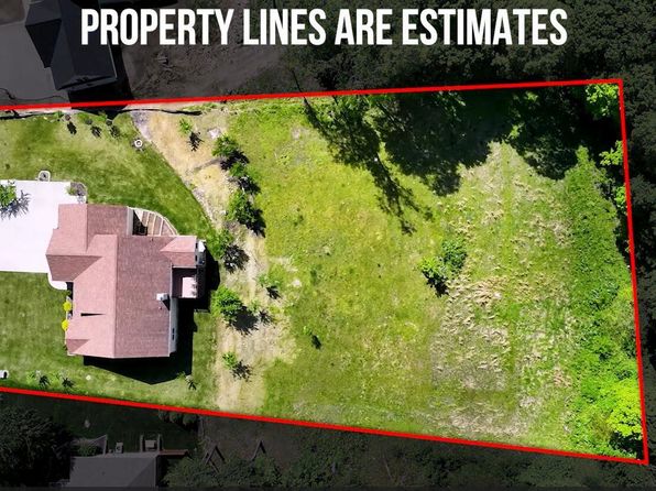
Review crime and safety information near 5432 Brownsville Rd SE, Newark, OH 43056. HoodScore summarizes nearby reported incidents, registered sex offenders, and neighborhood safety indicators to help buyers and renters perform better location due diligence.

Generated At — 2026-07-26

Distance rings: 1 mi and 2 mi from the property.

PropertyIncidentsOffenders

Unlock the full safety report before making a decision about this neighborhood.

Full report contains 5 offenders within 5 miles and 130 crime incidents in the last 12 months.

5 Registered Sex Offenders within 5 miles Near 5432 Brownsville Rd SE, Newark, OH 43056

5 Registered Offenders Nearby
1 Rape
3 Child Involved
1 Assault
0 Other
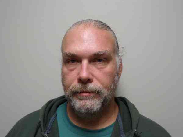
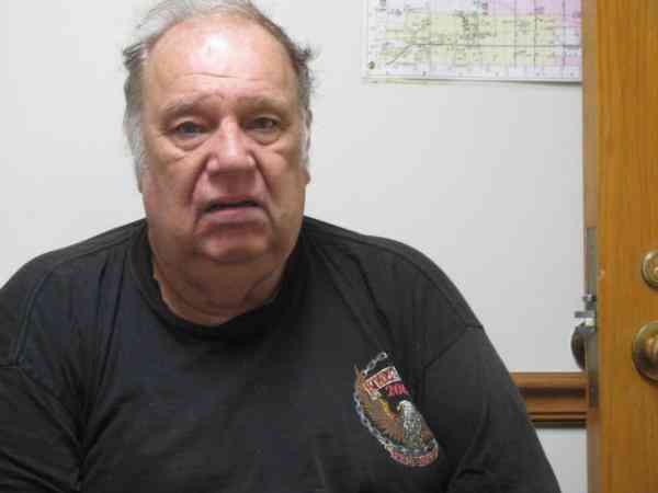
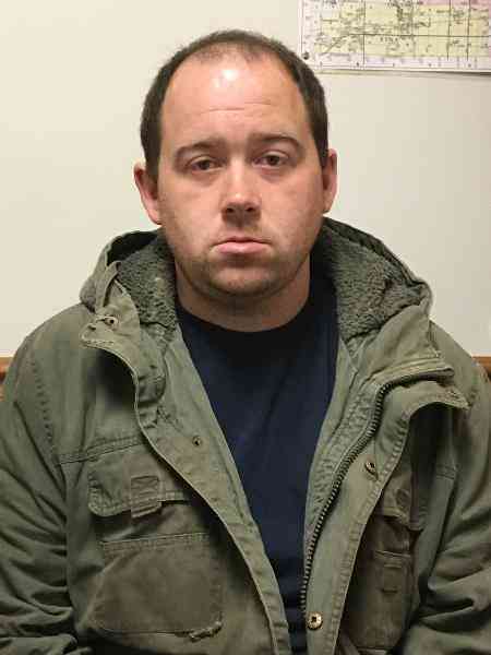
Photo Name / Age / Tags Arrest / Conviction Address Distance Risk
Offender photo

TALBOT, RICHARD E

53 years old

Violent

61-8B-5 - SEXUAL ASSAULT IN THE THIRD DEGREE

2024-12-17T11:36:19

2232 SLEEPY HOLLOW RD SE NEWARK, OH, 43055
4.3 Medium
Offender photo

CAREY, KEVIN MICHAEL

52 years old

Rapist

2907.02 - Rape Sexual Motivation

2024-12-17T11:36:19

2907.05(A)4 - Gross Sexual Imposition victim Under 13 Sexual Motivation

2024-12-17T11:36:19

11715 MARNE RD NEWARK, OH, 43055
4.4 Medium
Offender photo

FERRELL, CHARLES B

74 years old

Child Involved

21.11(a)(2) - Indecency with a Child/Contact Sexual Motivation

2024-12-17T11:36:19

3317 ALBRIGHT RD HEATH, OH, 43056
2.3 Medium
Offender photo

WYSONG, BRANDON MICHAEL

37 years old

Child Involved

18.2-386.1 - Possession of Child Pornography (2 or more convictions) Sexual Motivation

2024-12-17T11:36:19

882 ELM CT HEATH, OH, 43056
4.7 Medium
Offender photo

DUNCAN, JAMES RONALD

37 years old

Child Involved

18 USC 2252(A) - POSSESSION OF CHILD PORNOGRAPHY

2024-12-17T11:36:19

7717 POPLAR FORKS RD SE NEWARK, OH, 43056
4.2 Medium

130 Crime & Incidents in the Last 12 Months

130 Crime & Incidents by Severity
15 Severe
9 Medium
16 Low
90 Other
Crime Location (Approx.) Severity Description

Traffic

07/16/2026 07:07 PM

US-40 & OH-668, Brownsville, OH 43739

LOW

As discussed during the dispatch call, radio traffic indicates a possible road hazard near Route 40 at the intersection with Route 668 and 600, where units reported they were out of flares and requested that state patrol place flares at the scene.

Break-In

07/16/2026 06:15 PM

W High St NE, Newark, OH 43055

Unknown

As discussed during the dispatch call, officers were asked to check a possible motion alarm activation at an American Legion hall after the commander received a phone alert. Units responded, found the building secure, and reported only an interior alarm sounding while attempting to contact a keyholder.

Traffic

07/16/2026 06:12 PM

Brownsville Rd SE, Heath, OH 43056

LOW

As discussed during the dispatch call, rescue and medic units were dispatched to a reported vehicle accident near the (number withheld) block of Brownsville Road Southeast in Heath, with nearby cross streets including South Street Southeast, Third Street Southeast, and Bryson Road Southeast.

Traffic

07/16/2026 06:09 PM

Brownsville Rd SE, Heath, OH 43056

LOW

As discussed during the dispatch call, rescue and medic units were dispatched to a vehicle accident near the (number withheld) block of Brownsville Road Southeast, where the road was reportedly blocked but there were no injuries.

Medical Emergency

07/16/2026 05:50 PM

National Rd SE, Thornville, OH 43076

Unknown

As discussed during the dispatch call, a diabetic emergency is reported near National Road Southeast at the intersection with Pleasant Chapel Road Southeast and Honda Hills Road Southeast. Medic 601 is responding.

Similar properties in Heath

Other for-sale homes in Heath within about 20% of this listing's price. Open a property for a HoodScore safety preview.

Frequently asked questions

Is 5432 Brownsville Rd SE in a low-crime area?

The current report summarizes crime-related incidents within 5 miles during the last 12 months. HoodScore compares these records with relevant benchmarks, but no report can guarantee future safety.

Why are traffic and medical calls shown separately from crime?

Traffic, medical and fire records are public-safety incidents but are not necessarily crimes. HoodScore separates them to avoid overstating the crime count.

How often is this HoodScore report updated?

The report displays its generated date. Update frequency varies by source and is explained in the HoodScore methodology.

How is the HoodScore calculated?

HoodScore combines nearby crime and offender data into a neighborhood safety score. Visit https://www.hoodscore.com/hoodscore-calculator.html to see how the calculation works.