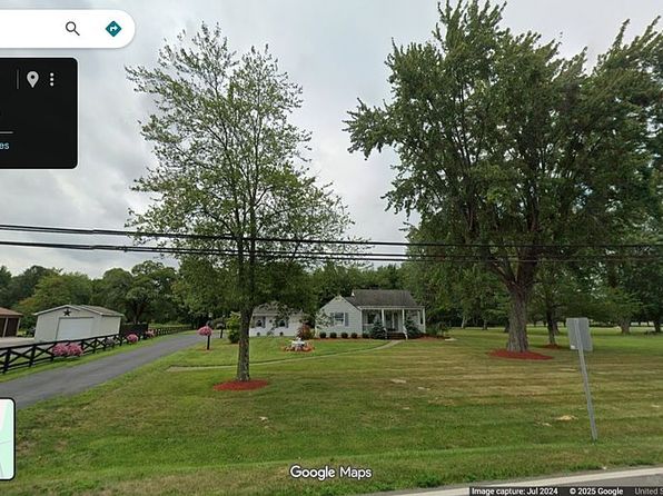
Crime & Safety Report for 5053 State Route 132, Batavia, OH 45103

Review crime and safety information near 5053 State Route 132, Batavia, OH 45103. HoodScore summarizes nearby reported incidents, registered sex offenders, and neighborhood safety indicators to help buyers and renters perform better location due diligence.

Generated At — 2026-07-25

Distance rings: 1 mi and 2 mi from the property.

PropertyIncidentsOffenders

Unlock the full safety report before making a decision about this neighborhood.

Full report contains 37 offenders within 5 miles and 1096 crime incidents in the last 12 months.

37 Registered Sex Offenders within 5 miles Near 5053 State Route 132, Batavia, OH 45103

37 Registered Offenders Nearby
4 Rape
11 Child Involved
7 Assault
16 Other
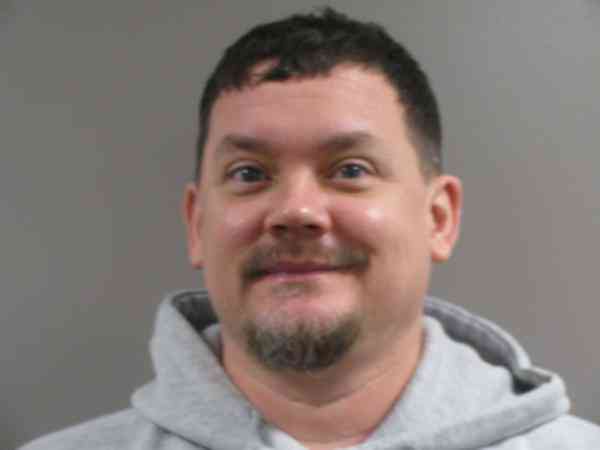
Photo Name / Age / Tags Arrest / Conviction Address Distance Risk
Offender photo

IKER, RYAN JOSEPH

45 years old

950 KENT RD BATAVIA, OH, 45103
3.5 Medium
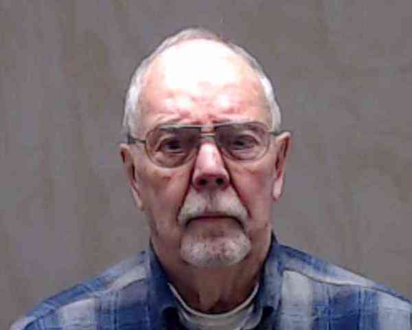
Offender photo

SHAWVER, CHARLES MARK

67 years old

Child Involved

1014 HOSPITAL DR BATAVIA, OH, 45103
2.4 Medium
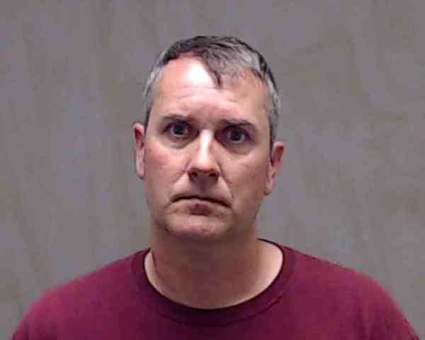
Offender photo

DUGAN, JOHN KEVIN

44 years old

Violent

1985 JAMES E SAULS SR DR BATAVIA, OH, 45103
3.3 Medium
Offender photo

BARNES, CLARENCE WILLIAM

85 years old

2907.05(A)4 - Gross Sexual Imposition victim Under 13 Sexual Motivation

2024-12-17T11:36:19

2907.06 - Sexual Imposition Sexual Motivation

2024-12-17T11:36:19

2907.06 - Sexual Imposition Sexual Motivation

2024-12-17T11:36:19

2907.05(A)5 - Gross Sexual Imposition Sexual Motivation

2024-12-17T11:36:19

5772 STONELICK WILLIAMS CORNER RD BATAVIA, OH, 45103
3.8 Medium
Offender photo

BLACKBURN, MARK DAVID

48 years old

Child Involved

2907.07 - Importuning Sexual Motivation

2024-12-17T11:36:19

2907.07 - Importuning Sexual Motivation

2024-12-17T11:36:19

2907.321 - Pandering Obscenity Involving a Minor Sexual Motivation

2024-12-17T11:36:19

1985 JAMES E. SAULS SR. DRIVE BATAVIA, OH, 45103
3.3 Medium

1096 Crime & Incidents in the Last 12 Months

1096 Crime & Incidents by Severity
106 Severe
110 Medium
170 Low
710 Other
Crime Location (Approx.) Severity Description

Fire

07/16/2026 09:14 PM

Riggs Ln, Batavia, OH 45103

MEDIUM

As discussed during the dispatch call, fire crews responded to a reported fire and carbon monoxide alarm activation at a location on Riggs Lane near Jackson Pike. Occupants had evacuated and no smoke, odors, or symptoms were reported.

Fire

07/16/2026 09:12 PM

Riggs Ln, Batavia, OH 45103

MEDIUM

As discussed during the dispatch call, fire units are dispatched to a reported fire alarm at a location on Riggs Lane near Jackson Pike.

Medical Emergency

07/16/2026 08:31 PM

Hospital Dr, Batavia, OH 45103

Unknown

As discussed during the dispatch call, medical units are responding to a potential emergency near Hospital Drive. Medic 11 reported to Mercy Clermont Hospital, and Medic 52 was requested to Fireground 4 relating to the same operation. No patient condition was reported.

Weapons

07/16/2026 08:10 PM

Shannon Cir, Batavia, OH 45103

SERIOUS

As discussed during the dispatch call, radio traffic indicates a possible shooting in the Sweetbriar and Shannon Circle area in Batavia. A suspect reportedly left the scene in a vehicle and may have gone to a nearby residence, where a crash was later reported. Medics were requested but advised to avoid Shannon Circle while deputies investigated.

Medical Emergency

07/16/2026 07:58 PM

Monterey-Maple Grove Rd, Batavia, OH 45103

Unknown

As discussed during the dispatch call, a medical call for diabetic problems was reported near Monterey Maple Grove Road, close to US 50 and Caudill East Road. The incident appears to involve a person with diabetic issues.

Nearby Schools

Schools within 2 miles of this property, nearest first.

SchoolDistance
CNE Early Childhood Academy0.3 mi

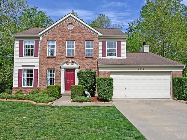
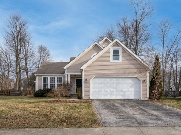
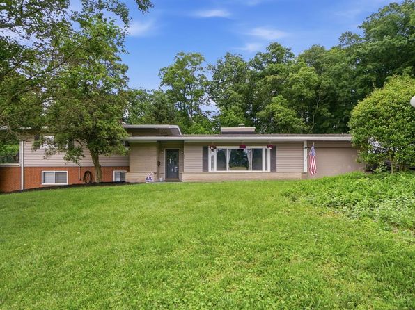
Similar properties in Batavia

Other for-sale homes in Batavia within about 20% of this listing's price. Open a property for a HoodScore safety preview.

Frequently asked questions

Is 5053 State Route 132 in a low-crime area?

The current report summarizes crime-related incidents within 5 miles during the last 12 months. HoodScore compares these records with relevant benchmarks, but no report can guarantee future safety.

Why are traffic and medical calls shown separately from crime?

Traffic, medical and fire records are public-safety incidents but are not necessarily crimes. HoodScore separates them to avoid overstating the crime count.

How often is this HoodScore report updated?

The report displays its generated date. Update frequency varies by source and is explained in the HoodScore methodology.

How is the HoodScore calculated?

HoodScore combines nearby crime and offender data into a neighborhood safety score. Visit https://www.hoodscore.com/hoodscore-calculator.html to see how the calculation works.