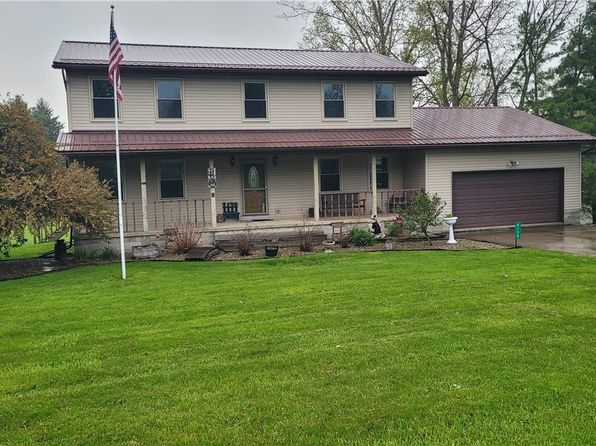
Crime & Safety Report for 504 State Route 89, West Salem, OH 44287

Review crime and safety information near 504 State Route 89, West Salem, OH 44287. HoodScore summarizes nearby reported incidents, registered sex offenders, and neighborhood safety indicators to help buyers and renters perform better location due diligence.

Generated At — 2026-07-26

Distance rings: 1 mi and 2 mi from the property.

PropertyIncidentsOffenders

Unlock the full safety report before making a decision about this neighborhood.

Full report contains 9 offenders within 5 miles and 15 crime incidents in the last 12 months.

9 Registered Sex Offenders within 5 miles Near 504 State Route 89, West Salem, OH 44287

9 Registered Offenders Nearby
1 Rape
2 Child Involved
0 Assault
6 Other
Photo Name / Age / Tags Arrest / Conviction Address Distance Risk
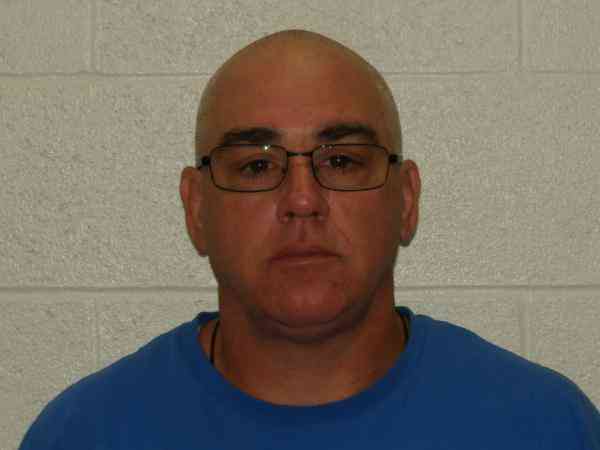
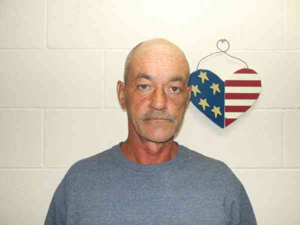
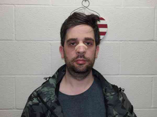
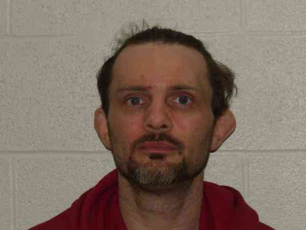
Offender photo

JOY, MICHAEL A

46 years old

Child Involved

288.5(a) - CONTINUOUS SEXUAL ABUSE OF CHILD Sexual Motivation

2024-12-17T11:36:19

135 STATE ROUTE 42 WEST SALEM, OH, 44287
5 Medium
Offender photo

FORD, RICHARD LYNN

59 years old

Rapist

2907.05(A)4 - Gross Sexual Imposition victim Under 13 Sexual Motivation

2024-12-17T11:36:19

2907.05(A)1 - Gross Sexual Imposition Sexual Motivation

2024-12-17T11:36:19

2907.02 - Rape Sexual Motivation

2024-12-17T11:36:19

260 STATE ROUTE 58 SULLIVAN, OH, 44880
2.6 Medium
Offender photo

INSANA, ROMAN GABRIEL

32 years old

2907.07 - Importuning (attempted)

2024-12-17T11:36:19

246 US HIGHWAY 224 SULLIVAN, OH, 44880
3.6 Medium
Offender photo

PUTNAM, BRADLEY

38 years old

2907.05 - Gross Sexual Imposition

2024-12-17T11:36:19

338 COUNTY ROAD 500 SULLIVAN, OH, 44880
1.6 Medium
Offender photo

SHEPARD, HOWARD WILLIAM

57 years old

2907.32 - Pandering Obscenity Sexual Motivation

2025-08-29T03:49:02

2907.32 - Pandering Obscenity Sexual Motivation

2025-08-29T03:49:02

502 STATE ROUTE 58 ASHLAND, OH, 44805
0.2 High

15 Crime & Incidents in the Last 12 Months

15 Crime & Incidents by Severity
2 Medium
4 Low
9 Other
Crime Location (Approx.) Severity Description

Traffic

07/14/2026 01:48 PM

Co Rd 700, West Salem, OH 44287

LOW

As discussed during the dispatch call, radio traffic indicates a single-vehicle crash near county road 700 and route 93, where a male driver reported chest pain after the airbag deployed and he hit the steering wheel. A telephone pole was apparently struck and snapped at the base, and highway crews were requested due to concern it could fall when the vehicle is moved. EMS units were sent to check on the driver.

Medical Emergency

07/14/2026 01:11 PM

Co Rd 700, Polk, OH 44866

Unknown

As discussed during the dispatch call, a deputy requested transport of a 72-year-old male near County Road 700 for a mental health evaluation. The caller mentioned her son was angry, acting out, and has a history of incidents and schizophrenia.

Medical Emergency

07/12/2026 11:02 AM

OH-511, Ashland, OH 44805

Unknown

As discussed during the dispatch call, a medical emergency call was reported near State Route 511 for a 75-year-old female who fell and sustained multiple lacerations to her head and arm. She was transported to a medical facility for treatment.

Road Closure

06/30/2026 11:29 AM

OH-58, Sullivan, OH

Unknown

As discussed during the dispatch call, a caller reported a possible road hazard at a railroad crossing on Route 58 just north of Sullivan, where a railroad tie appeared to be sticking up in the middle of the crossing. An officer was asked to check the area.

Road Closure

06/30/2026 11:28 AM

OH-58, Sullivan, OH

Unknown

As discussed during the dispatch call, dispatch received a report of a possible railroad crossing hazard on State Route 58 just north of Sullivan, where a caller said a railroad tie was sticking up in the middle of the crossing.

Similar properties in West Salem

Other for-sale homes in West Salem within about 20% of this listing's price. Open a property for a HoodScore safety preview.

Frequently asked questions

Is 504 State Route 89 in a low-crime area?

The current report summarizes crime-related incidents within 5 miles during the last 12 months. HoodScore compares these records with relevant benchmarks, but no report can guarantee future safety.

Why are traffic and medical calls shown separately from crime?

Traffic, medical and fire records are public-safety incidents but are not necessarily crimes. HoodScore separates them to avoid overstating the crime count.

How often is this HoodScore report updated?

The report displays its generated date. Update frequency varies by source and is explained in the HoodScore methodology.

How is the HoodScore calculated?

HoodScore combines nearby crime and offender data into a neighborhood safety score. Visit https://www.hoodscore.com/hoodscore-calculator.html to see how the calculation works.