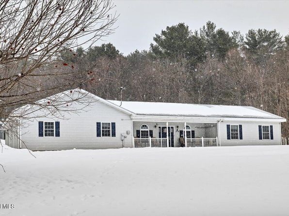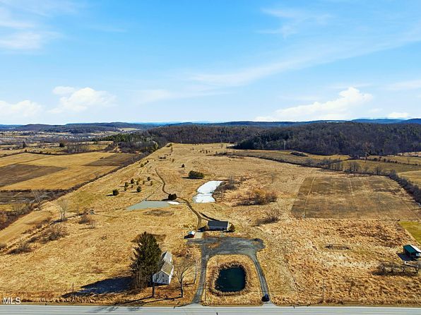
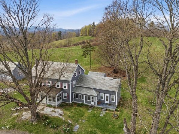
Crime & Safety Report for 2616 County Route 12, Whitehall, NY 12887

Review crime and safety information near 2616 County Route 12, Whitehall, NY 12887. HoodScore summarizes nearby reported incidents, registered sex offenders, and neighborhood safety indicators to help buyers and renters perform better location due diligence.

Generated At — 2026-07-28

Distance rings: 1 mi and 2 mi from the property.

PropertyIncidentsOffenders

Unlock the full safety report before making a decision about this neighborhood.

Full report contains 14 offenders within 5 miles and 118 crime incidents in the last 12 months.

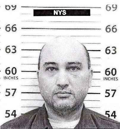
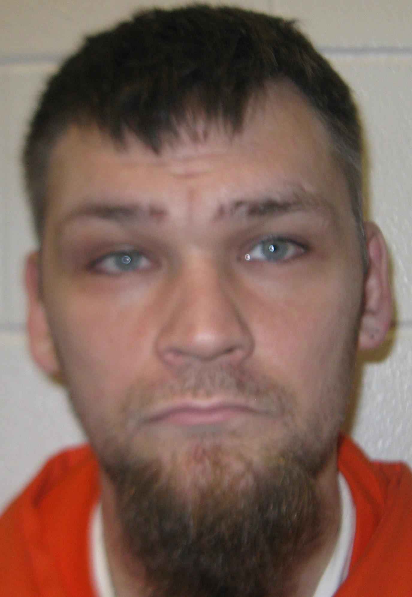
14 Registered Sex Offenders within 5 miles Near 2616 County Route 12, Whitehall, NY 12887

14 Registered Offenders Nearby
5 Rape
2 Child Involved
0 Assault
8 Other
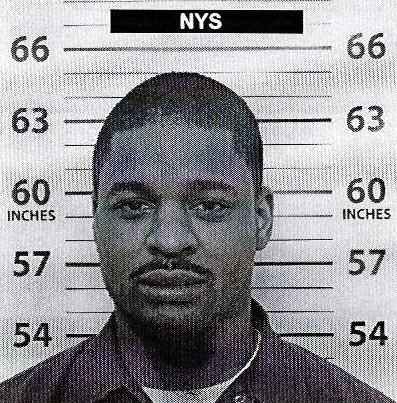
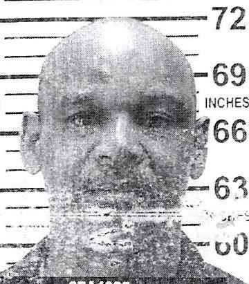
Photo Name / Age / Tags Arrest / Conviction Address Distance Risk
Offender photo

JUSTIN BRIGGS

years old

130.65 - Sexual Abuse 1st Degree:Contact By Forcible Compulsion

2024-10-03T12:42:28

72 Lock Eleven Lane Comstock, NY, 12821
4.9 Medium
Offender photo

JOSEPH GRAHAM

years old

130.65 - Sexual Abuse-1st Degree

2024-10-03T12:42:28

72 Lock Eleven Lane Comstock, NY, 12821
4.9 Medium
Offender photo

DANIEL KING

years old

Rapist

72 Lock Eleven Lane Comstock, NY, 12821
4.9 Medium
Offender photo

JAMES STOUTER

years old

Rapist

72 Lock Eleven Lane Comstock, NY, 12821
4.9 Medium
Offender photo

JOSEPH CHOPPY

years old

130.65 - Sexual Abuse 1st:Sexual Contact With Individual Less Than 11Years Old

2024-10-03T12:42:28

3 FIRST AVENUE Whitehall, NY, 12887
1.3 Medium

118 Crime & Incidents in the Last 12 Months

118 Crime & Incidents by Severity
12 Severe
11 Medium
14 Low
81 Other
Crime Location (Approx.) Severity Description

Theft Report

07/16/2026 12:38 PM

Williams St, Whitehall, NY 12887

Unknown

As discussed during the dispatch call, officers responded to a theft complaint at the Whitehall recreation center on William Street, where two fish bowls were reportedly taken from behind the building by a suspected known person.

Traffic

07/14/2026 02:26 AM

US-4, Whitehall, NY 12887

LOW

As discussed during the dispatch call, emergency units responded to a reported two-car motor vehicle crash on State Route 4 near Maplewood Ice in the Town of Whitehall. Initial reports mentioned unknown or possible injuries, but responders later reported no injuries at the scene.

Traffic

07/14/2026 02:20 AM

US-4, Whitehall, NY 12887

LOW

As discussed during the dispatch call, dispatchers report a possible two vehicle crash with unknown injuries near a business on State Route 4 in Whitehall.

Traffic

07/14/2026 02:20 AM

US-4, Whitehall, NY

LOW

As discussed during the dispatch call, dispatchers report a possible two-vehicle crash with unknown injuries in the roadway near State Route 4 in the Whitehall area.

Substance Use

07/12/2026 02:16 PM

N Williams St & Doig St, Whitehall, NY 12887

Unknown

As discussed during the dispatch call, a caller reported a possibly intoxicated man stumbling in the street near North Williams Street and Doig Street in Whitehall. The man was last seen turning from North Williams onto Doig. No contact with the caller was requested.

Nearby Schools

Schools within 2 miles of this property, nearest first.

SchoolDistance
WHITEHALL JUNIOR-SENIOR HIGH SCHOOL1.4 mi
WHITEHALL ELEMENTARY SCHOOL1.6 mi

Similar properties in Whitehall

Other for-sale homes in Whitehall within about 20% of this listing's price. Open a property for a HoodScore safety preview.

$500,000
5 bd | 2 ba | 2,128 sqft
200-201 Carlton Road
Whitehall, NY, 12887
View Safety Report
$444,500
3 bd | 2 ba | 1,440 sqft
1276 Holcombville Road
Whitehall, NY, 12887
View Safety Report
$649,000
3 bd | 2 ba | 1,400 sqft
1710 Truthville Road
Whitehall, NY, 12887
View Safety Report

Frequently asked questions

Is 2616 County Route 12 in a low-crime area?

The current report summarizes crime-related incidents within 5 miles during the last 12 months. HoodScore compares these records with relevant benchmarks, but no report can guarantee future safety.

Why are traffic and medical calls shown separately from crime?

Traffic, medical and fire records are public-safety incidents but are not necessarily crimes. HoodScore separates them to avoid overstating the crime count.

How often is this HoodScore report updated?

The report displays its generated date. Update frequency varies by source and is explained in the HoodScore methodology.

How is the HoodScore calculated?

HoodScore combines nearby crime and offender data into a neighborhood safety score. Visit https://www.hoodscore.com/hoodscore-calculator.html to see how the calculation works.