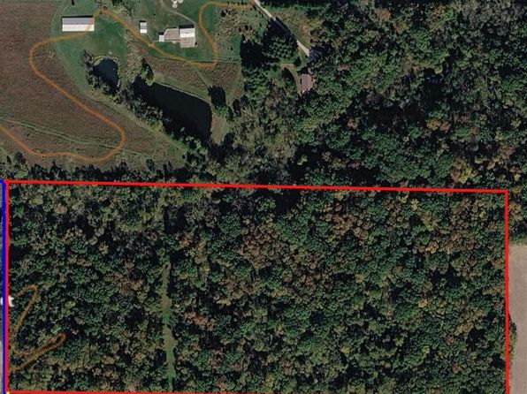
Crime & Safety Report for 14880 Dmc Highway Hwy, Burlington, IA

Review crime and safety information near 14880 Dmc Highway Hwy, Burlington, IA. HoodScore summarizes nearby reported incidents, registered sex offenders, and neighborhood safety indicators to help buyers and renters perform better location due diligence.

Generated At — 2026-07-26

Distance rings: 1 mi and 2 mi from the property.

PropertyIncidentsOffenders

Unlock the full safety report before making a decision about this neighborhood.

Full report contains 124 offenders within 5 miles and 1509 crime incidents in the last 12 months.

124 Registered Sex Offenders within 5 miles Near 14880 Dmc Highway Hwy, Burlington, IA

124 Registered Offenders Nearby
4 Rape
58 Child Involved
29 Assault
44 Other
Photo Name / Age / Tags Arrest / Conviction Address Distance Risk
Offender photo

LINK, CODY A

42 years old

Child Involved

INDECENT SOLICITATION OF A CHILD and CRIMINAL SEXUAL ABUSE and CRIMINAL SEXUAL ABUSE FORCE

2024-10-25T06:34:59

309 S GEAR AVE W BURLINGTON, IA, 52655
2.6 Medium
Offender photo

ELLIOTT, REGINALD L

36 years old

ATTEMPT and CRIMINAL SEXUAL ABUSE FORCE

2024-10-25T06:34:59

916 S S 5TH BURLINGTON, IA, 52601
2.7 Medium
Offender photo

NELSON, JON ERIC MICHAEL

37 years old

Child Involved

OUT OF STATE DUTY TO REGISTER

2024-10-25T06:34:59

835 VALLEY ST BURLINGTON, IA, 52601
0.7 High
Offender photo

PENROD, JUSTIN D

40 years old

Rapist

Violent

AGGRAVATED CRIMINAL SEXUAL ABUSE/VICTIM 13-16

2024-10-25T06:34:59

1002 S S 10TH BURLINGTON, IA, 52601
0.8 High
Offender photo

SPIKER, ALEX L

27 years old

Rapist

Violent

CRIMINAL SEXUAL ASSAULT/FORCE

2024-10-25T06:34:59

909 N 5TH ST 2 BURLINGTON, IA, 52601
1 Medium

1509 Crime & Incidents in the Last 12 Months

1509 Crime & Incidents by Severity
137 Severe
192 Medium
365 Low
815 Other
Crime Location (Approx.) Severity Description

Suspicious Activity

07/16/2026 09:58 PM

Lincoln St, Burlington, IA 52601

MEDIUM

As discussed during the dispatch call, a caller on North Lincoln Street reported finding several kittens in the roadway and a suspicious white car parked nearby with its trunk open, and requested officer assistance.

Suspicious/Wellness Concern

07/16/2026 09:10 PM

E Pennington St Apt 254, West Burlington, IA 52655

Unknown

As discussed during the dispatch call, officers are dispatched for a welfare check at an apartment on East Pennington Street after a caller reported that a man who previously assaulted the resident was making new threats and the resident stopped answering the phone.

Domestic Dispute

07/16/2026 09:09 PM

E Pennington St Apt 254, West Burlington, IA 52655

Unknown

As discussed during the dispatch call, officers were sent for a welfare check at an apartment near East Pennington Street to look for a woman who reportedly had been assaulted before and was allegedly being threatened again, and who was not answering her phone.

Assault Report

07/16/2026 08:59 PM

S Main St, Burlington, IA 52601

Unknown

As discussed during the dispatch call, officers responded to a reported altercation near South Main Street where one person appeared scraped, had trouble breathing, and reported rib pain. An additional unit was requested to assist at the scene.

Domestic Dispute

07/16/2026 08:45 PM

S Main St, Burlington, IA 52601

Unknown

As discussed during the dispatch call, dispatch reports a possible disturbance at a residence near South Main Street in Burlington, where one roommate allegedly attacked another. One person is reportedly bleeding, another person used a bat to separate them, and the parties are now apart but still arguing.

Nearby Schools

Schools within 2 miles of this property, nearest first.

SchoolDistance
North Hill Elementary School0.8 mi
Corse Early Childhood Center0.9 mi
Burlington Community High School0.9 mi
Sunnyside Elementary School1.2 mi
Aldo Leopold Intermediate School1.4 mi
Edward Stone Middle School1.5 mi
James Wilson Grimes School1.5 mi
West Burlington Elem School2.0 mi

Frequently asked questions

Is 14880 Dmc Highway Hwy in a low-crime area?

The current report summarizes crime-related incidents within 5 miles during the last 12 months. HoodScore compares these records with relevant benchmarks, but no report can guarantee future safety.

Why are traffic and medical calls shown separately from crime?

Traffic, medical and fire records are public-safety incidents but are not necessarily crimes. HoodScore separates them to avoid overstating the crime count.

How often is this HoodScore report updated?

The report displays its generated date. Update frequency varies by source and is explained in the HoodScore methodology.

How is the HoodScore calculated?

HoodScore combines nearby crime and offender data into a neighborhood safety score. Visit https://www.hoodscore.com/hoodscore-calculator.html to see how the calculation works.