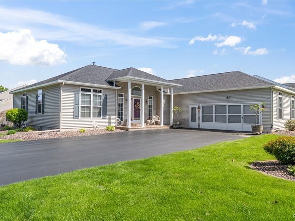

Crime & Safety Report for 132 Lorian Dr, North Syracuse, NY 13212

Review crime and safety information near 132 Lorian Dr, North Syracuse, NY 13212. HoodScore summarizes nearby reported incidents, registered sex offenders, and neighborhood safety indicators to help buyers and renters perform better location due diligence.

Generated At — 2026-07-26

Distance rings: 1 mi and 2 mi from the property.

PropertyIncidentsOffenders

Unlock the full safety report before making a decision about this neighborhood.

Full report contains 360 offenders within 5 miles and 14628 crime incidents in the last 12 months.

360 Registered Sex Offenders within 5 miles Near 132 Lorian Dr, North Syracuse, NY 13212

360 Registered Offenders Nearby
112 Rape
95 Child Involved
5 Assault
172 Other
Photo Name / Age / Tags Arrest / Conviction Address Distance Risk
Offender photo

RALPH R REICHARD

years old

Child Involved

T RD SYRACUSE Syracuse, NY
3.9 Medium
Offender photo

TRAVIS RECORE

years old

Child Involved

Rapist

128 JAMES ST Syracuse, NY, 13209
3.7 Medium
Offender photo

EDWARD JONES

years old

Rapist

415 BEAR ST Syracuse, NY, 13208
2.2 Medium
Offender photo

DARRYL REEDER

years old

Child Involved

Rapist

1614 FAYETTE Syracuse, NY, 13210
4.4 Medium
Offender photo

STEVEN SILVERNAIL

years old

636 PARK AVE Syracuse, NY, 13204
3.5 Medium

14628 Crime & Incidents in the Last 12 Months

14628 Crime & Incidents by Severity
1950 Severe
2153 Medium
2408 Low
8117 Other
Crime Location (Approx.) Severity Description

Domestic Dispute

07/16/2026 09:18 PM

Boyden St, Syracuse, NY 13203

Unknown

As discussed during the dispatch call, police are dispatched to a possible verbal domestic dispute at an apartment on Pennington Street, near Boyden Street and Vine Street, with a reporting party requesting contact.

Disturbance

07/16/2026 09:06 PM

Wolf St, Syracuse, NY 13208

Unknown

As discussed during the dispatch call, officers responded to a reported harassment incident at an upper apartment near Wolf Street and the intersections with First North Street and Second North Street. They were dispatched to meet with a person at the location.

Domestic Dispute

07/16/2026 09:00 PM

Butternut St & 3rd Ave, Syracuse, NY 13208

Unknown

As discussed during the dispatch call, police were dispatched for a possible physical domestic dispute near Butternut St (around Third Ave and Williston Ave) involving (name withheld) and her intoxicated parent (name withheld). The parent was reportedly throwing items while trying to find her; a younger sibling was reported in the home, and no weapons were reported.

Traffic

07/16/2026 08:50 PM

Burnet Ave, Syracuse, NY 13206

LOW

As discussed during the dispatch call, officers were dispatched to investigate a reported hit-and-run that allegedly occurred on the eastbound lanes of a nearby highway. They arranged to meet the reporting caller near Burnet Avenue in Syracuse to gather more information.

Traffic

07/16/2026 08:47 PM

Burnet Ave, Syracuse, NY 13206

LOW

As discussed during the dispatch call, an officer is dispatched to meet a caller at a location on Burnet Avenue in Syracuse regarding a reported hit-and-run involving a bus that occurred on eastbound I-690 near the T11 area.

Nearby Schools

Schools within 2 miles of this property, nearest first.

SchoolDistance
CHESTNUT HILL ELEMENTARY SCHOOL0.8 mi
DONLIN DRIVE ELEMENTARY SCHOOL0.9 mi
ROXBORO ROAD MIDDLE SCHOOL0.9 mi
CHESTNUT HILL MIDDLE SCHOOL0.9 mi
ROXBORO ROAD ELEMENTARY SCHOOL1.0 mi
LEMOYNE ELEMENTARY SCHOOL1.7 mi
NORTH SYRACUSE JUNIOR HIGH SCHOOL2.0 mi

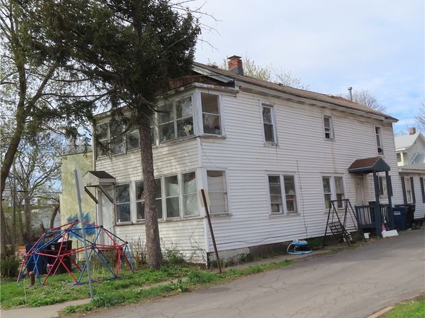
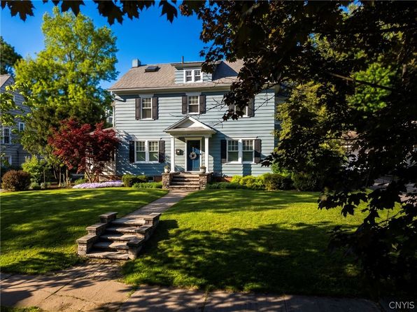
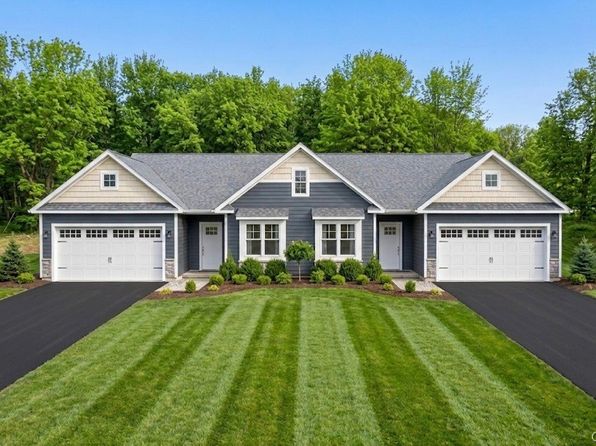
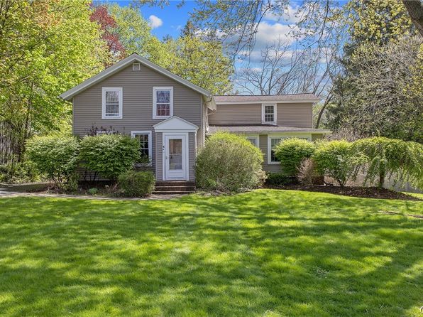
Similar properties in Syracuse

Other for-sale homes in Syracuse within about 20% of this listing's price. Open a property for a HoodScore safety preview.

Frequently asked questions

Is 132 Lorian Dr in a low-crime area?

The current report summarizes crime-related incidents within 5 miles during the last 12 months. HoodScore compares these records with relevant benchmarks, but no report can guarantee future safety.

Why are traffic and medical calls shown separately from crime?

Traffic, medical and fire records are public-safety incidents but are not necessarily crimes. HoodScore separates them to avoid overstating the crime count.

How often is this HoodScore report updated?

The report displays its generated date. Update frequency varies by source and is explained in the HoodScore methodology.

How is the HoodScore calculated?

HoodScore combines nearby crime and offender data into a neighborhood safety score. Visit https://www.hoodscore.com/hoodscore-calculator.html to see how the calculation works.