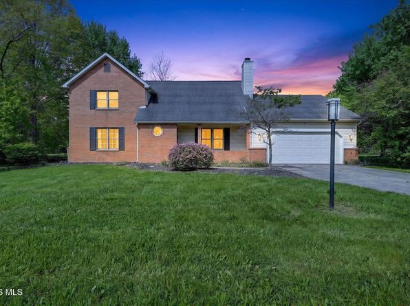


Crime & Safety Report for 10781 Sun Trace Dr, Perrysburg, OH 43551

Review crime and safety information near 10781 Sun Trace Dr, Perrysburg, OH 43551. HoodScore summarizes nearby reported incidents, registered sex offenders, and neighborhood safety indicators to help buyers and renters perform better location due diligence.

Generated At — 2026-07-25

Distance rings: 1 mi and 2 mi from the property.

PropertyIncidentsOffenders

Unlock the full safety report before making a decision about this neighborhood.

Full report contains 78 offenders within 5 miles and 2016 crime incidents in the last 12 months.

78 Registered Sex Offenders within 5 miles Near 10781 Sun Trace Dr, Perrysburg, OH 43551

78 Registered Offenders Nearby
11 Rape
26 Child Involved
13 Assault
33 Other
Photo Name / Age / Tags Arrest / Conviction Address Distance Risk
Offender photo

TIMMONS, ASHLEY

28 years old

Violent

28101 CEDAR PARK BLVD PERRYSBURG, OH, 43551
3.3 Medium
Offender photo

BARNES, FRANKLIN A

70 years old

Rapist

12436 GLORIA ST PERRYSBURG, OH, 43551
1.5 Medium
Offender photo

BERNATH, KYLE R

21 years old

Child Involved

28611 WOODLAND AVE PERRYSBURG, OH, 43551
2.4 Medium
Offender photo

DALTON, KEVIN JAMES

35 years old

26489 SOUTHPOINT RD PERRYSBURG, OH, 43551
1.8 Medium
Offender photo

EDWARDS, RICHARD D

77 years old

6891 WILLIAM DR PERRYSBURG, OH, 43551
4.4 Medium

2016 Crime & Incidents in the Last 12 Months

2016 Crime & Incidents by Severity
225 Severe
257 Medium
455 Low
1079 Other
Crime Location (Approx.) Severity Description

Suspicious Activity

07/16/2026 10:14 PM

Conant St, Maumee, OH 43537

MEDIUM

As discussed during the dispatch call, an officer reports a possible suspicious activity while checking two people at a church on Conant Street in Maumee, Ohio.

Traffic

07/16/2026 08:18 PM

Conant St & Anthony Wayne Trl, Maumee, OH 43537

LOW

As discussed during the dispatch call, emergency crews are dispatched to a reported injury traffic crash near Conant Street and Anthony Wayne Trail in Maumee, Ohio.

Traffic

07/16/2026 08:14 PM

Conant St & Anthony Wayne Trl, Maumee, OH 43537

LOW

As discussed during the dispatch call, radio traffic reports an apparent injury crash at the intersection of Conant Street and Anthony Wayne Trail involving a silver Chevy and a black Honda that are blocking traffic. One person is reported to have head pain, and fire and EMS have been notified. An off-duty officer came across the crash but is not involved.

Other Non-Crime Event

07/16/2026 06:41 PM

Eastgate Rd, Toledo, OH 43614

Unknown

As discussed during the dispatch call, officers discuss a possible hazardous tree on private property near an apartment complex, believed to be the Andover apartments, and request that someone from the city respond to check the situation.

Substance Use

07/16/2026 05:54 PM

W Boundary St, Perrysburg, OH 43551

Unknown

As discussed during the dispatch call, officers received a driving complaint from a gas station about a man who had been stumbling in the parking lot and then left in a blue Chevy sedan, possibly an Impala, heading toward Mulberry. The caller later reported the vehicle appeared to be at a residence and off the roadway, and the call was canceled.

Nearby Schools

Schools within 2 miles of this property, nearest first.

SchoolDistance
Perrysburg Junior High School1.1 mi
Frank Elementary School1.3 mi
Toth Elementary School1.6 mi
Woodland Elementary School1.9 mi

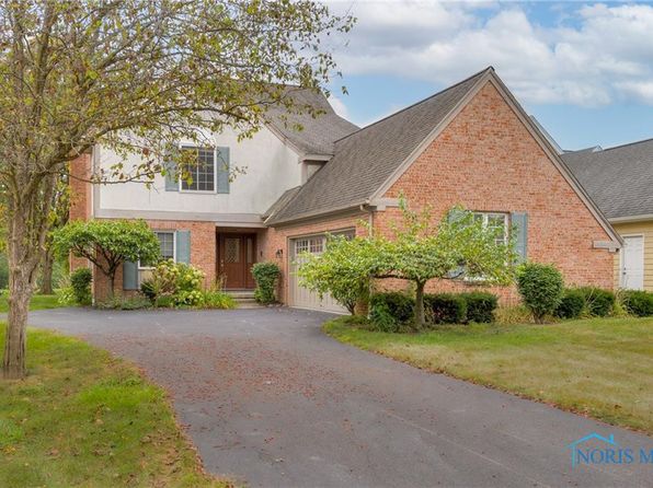
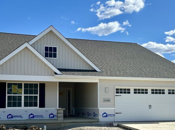
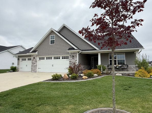
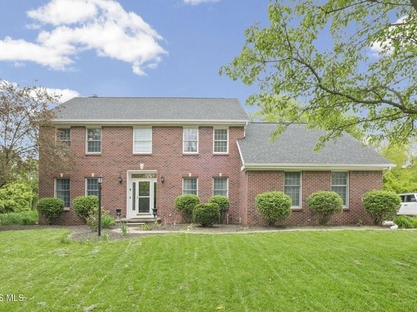
Similar properties in Perrysburg

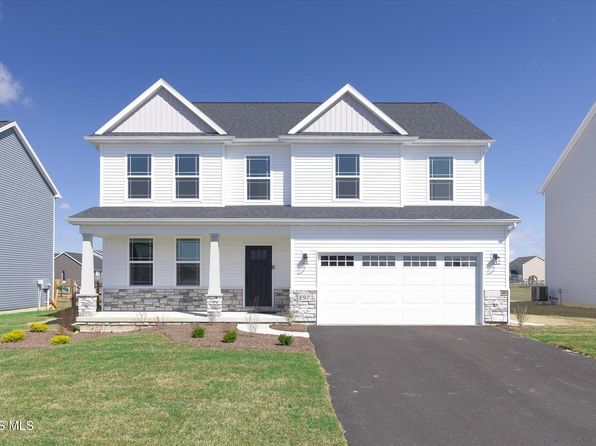
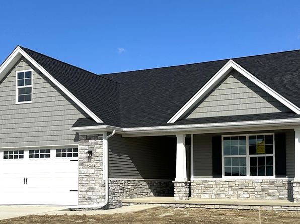
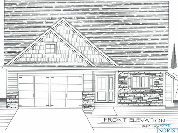
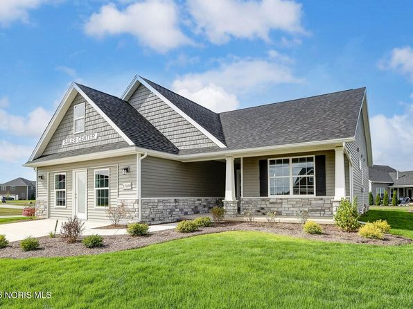
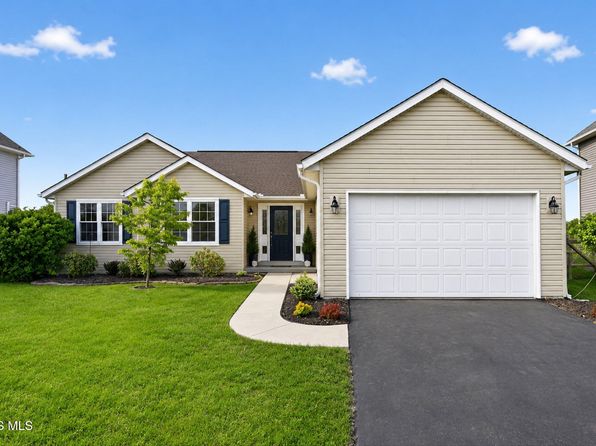
Other for-sale homes in Perrysburg within about 20% of this listing's price. Open a property for a HoodScore safety preview.

$422,600
3 bd | 2 ba | 2,119 sqft
25264 E Sunset Maple Dr
Perrysburg, OH, 43551
View Safety Report
$476,432
3 bd | 3 ba | 2,223 sqft
15114 Sugar Maple Dr
Perrysburg, OH, 43551
View Safety Report
$419,900
3 bd | 2 ba | 1,602 sqft
3100 Steeple Chase Ln
Perrysburg, OH, 43551
View Safety Report
$410,344
3 bd | 2 ba | 2,119 sqft
15100 Sugar Maple Dr
Perrysburg, OH, 43551
View Safety Report

Frequently asked questions

Is 10781 Sun Trace Dr in a low-crime area?

The current report summarizes crime-related incidents within 5 miles during the last 12 months. HoodScore compares these records with relevant benchmarks, but no report can guarantee future safety.

Why are traffic and medical calls shown separately from crime?

Traffic, medical and fire records are public-safety incidents but are not necessarily crimes. HoodScore separates them to avoid overstating the crime count.

How often is this HoodScore report updated?

The report displays its generated date. Update frequency varies by source and is explained in the HoodScore methodology.

How is the HoodScore calculated?

HoodScore combines nearby crime and offender data into a neighborhood safety score. Visit https://www.hoodscore.com/hoodscore-calculator.html to see how the calculation works.