

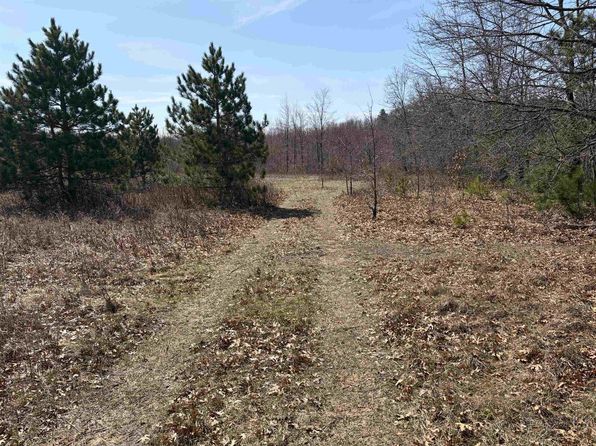
Crime & Safety Report for N2372 26th Avenue, Lyndon Station, WI 53944

Review crime and safety information near N2372 26th Avenue, Lyndon Station, WI 53944. HoodScore summarizes nearby reported incidents, registered sex offenders, and neighborhood safety indicators to help buyers and renters perform better location due diligence.

Generated At — 2026-07-26

Distance rings: 1 mi and 2 mi from the property.

PropertyIncidentsOffenders

Unlock the full safety report before making a decision about this neighborhood.

Full report contains 7 offenders within 5 miles and 34 crime incidents in the last 12 months.

7 Registered Sex Offenders within 5 miles Near N2372 26th Avenue, Lyndon Station, WI 53944

7 Registered Offenders Nearby
4 Rape
6 Child Involved
6 Assault
0 Other
Photo Name / Age / Tags Arrest / Conviction Address Distance Risk
Offender photo

FIUMEFREDDO, JOHN W

78 years old

Child Involved

Rapist

Violent

First-Degree Sexual Assault of a Child

2024-12-17T08:08:31

3350 STATE HIGHWAY 13 WISCONSIN DELLS, WI, 53965
4.2 Medium
Offender photo

BALDWIN, SCOTT ANDRE

62 years old

Child Involved

Violent

Second-Degree Sexual Assault of a Child

2024-12-17T08:08:31

N5050 COUNTY ROAD HH MAUSTON, WI, 53948
2.8 Medium
Offender photo

BARBIAN, RONALD E

72 years old

Child Involved

Rapist

Violent

First-Degree Sexual Assault of a Child

2024-12-17T08:08:31

W3504 55TH ST MAUSTON, WI, 53948
3.5 Medium
Offender photo

BRABANT, FRANK H

43 years old

Child Involved

Rapist

Violent

First-Degree Sexual Assault of a Child

2024-12-17T08:08:31

W3422 55TH ST MAUSTON, WI, 53948
3.4 Medium
Offender photo

HAVEMANN, THOMAS L

67 years old

Rapist

Violent

Second-Degree Sexual Assault

2024-12-17T08:08:31

First-Degree Sexual Assault

2024-12-17T08:08:31

W3422 55TH ST MAUSTON, WI, 53948
3.4 Medium

34 Crime & Incidents in the Last 12 Months

34 Crime & Incidents by Severity
4 Medium
7 Low
23 Other
Crime Location (Approx.) Severity Description

Traffic

07/16/2026 02:38 PM

N1005 US Hwy 12 & 16, Lyndon Station, WI 53944

LOW

As discussed during the dispatch call, dispatch received a report of a possible road rage incident on the interstate near the Shangri-La area, where another driver reportedly stopped, took the reporting party’s phone, and left in a retired police-style Taurus. The reporting party is seeking the return of the phone.

Medical Emergency

07/12/2026 02:15 PM

W3291 57th St, Lyndon Station, WI 53944

Unknown

As discussed during the dispatch call, a medical pendant was activated near 57th Street in the Township of Kildare. No contact was made at the location.

Medical Emergency

07/12/2026 02:12 PM

W3291 57th St, Lyndon Station, WI 53944

Unknown

As discussed during the dispatch call, a medical pendant activation occurred near 57th Street in the Township of Kildare with no contact made.

Medical Emergency

07/12/2026 12:37 PM

Arrowhead Campground, W1530 Arrowhead Rd, Wisconsin Dells, WI 53965

Unknown

As discussed during the dispatch call, emergency medical services responded near Arrowhead Campground for a 50-year-old woman who fainted but was conscious at dispatch. She had donated plasma earlier and was located by the pool near the main office area.

Break-In

07/10/2026 02:28 PM

East St, Lyndon Station, WI 53944

Unknown

As discussed during the dispatch call, officers were sent to a home near East Flynn Street in Lyndon Station for a reported trespassing incident after security cameras showed people on the property while the resident was away.

Nearby Schools

Schools within 2 miles of this property, nearest first.

SchoolDistance
Lyndon Station Elementary1.3 mi

Similar properties in Lyndon Station

Other for-sale homes in Lyndon Station within about 20% of this listing's price. Open a property for a HoodScore safety preview.

Frequently asked questions

Is N2372 26th Avenue in a low-crime area?

The current report summarizes crime-related incidents within 5 miles during the last 12 months. HoodScore compares these records with relevant benchmarks, but no report can guarantee future safety.

Why are traffic and medical calls shown separately from crime?

Traffic, medical and fire records are public-safety incidents but are not necessarily crimes. HoodScore separates them to avoid overstating the crime count.

How often is this HoodScore report updated?

The report displays its generated date. Update frequency varies by source and is explained in the HoodScore methodology.

How is the HoodScore calculated?

HoodScore combines nearby crime and offender data into a neighborhood safety score. Visit https://www.hoodscore.com/hoodscore-calculator.html to see how the calculation works.