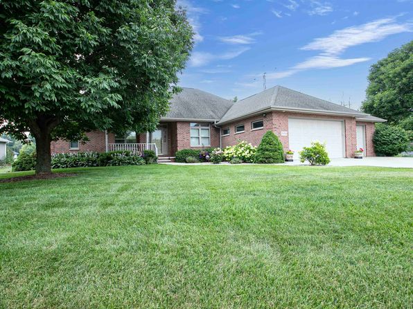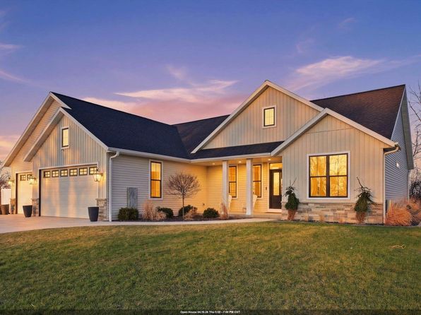

Crime & Safety Report for N1335 High Point Ln, Greenville, WI 54942

Review crime and safety information near N1335 High Point Ln, Greenville, WI 54942. HoodScore summarizes nearby reported incidents, registered sex offenders, and neighborhood safety indicators to help buyers and renters perform better location due diligence.

Generated At — 2026-07-26

Distance rings: 1 mi and 2 mi from the property.

PropertyIncidentsOffenders

Unlock the full safety report before making a decision about this neighborhood.

Full report contains 59 offenders within 5 miles and 880 crime incidents in the last 12 months.

59 Registered Sex Offenders within 5 miles Near N1335 High Point Ln, Greenville, WI 54942

59 Registered Offenders Nearby
14 Rape
45 Child Involved
33 Assault
4 Other
Photo Name / Age / Tags Arrest / Conviction Address Distance Risk
Offender photo

VIERRA, BRANDEN JAMES

36 years old

Rapist

1775 SHADY LN NEENAH, WI, 54956
4.7 Medium
Offender photo

CIUPLINSKI, BILLY

48 years old

Child Involved

Violent

2389 IRISH RD NEENAH, WI, 54956
4 Medium
Offender photo

OLSON, CHARLES S

69 years old

Rapist

Violent

9580 OAKWOOD AVE NEENAH, WI, 54956
3.7 Medium
Offender photo

REWALT, TRAVIS J

44 years old

Child Involved

Rapist

Violent

1828 DEER CROSSING CT NEENAH, WI, 54956
4.7 Medium
Offender photo

ZIMMERMAN, MICHAEL

40 years old

Child Involved

Violent

2272 MEADOW GREEN DR NEENAH, WI, 54956
5 Medium

880 Crime & Incidents in the Last 12 Months

880 Crime & Incidents by Severity
80 Severe
120 Medium
172 Low
508 Other
Crime Location (Approx.) Severity Description

Fire

07/16/2026 08:36 PM

W 4th St, Appleton, WI 54914

MEDIUM

As discussed during the dispatch call, fire units responded to a reported commercial fire alarm at an apartment building near West 4th Street in Appleton. Crews arrived at a three-story building with no visible fire and no evacuation and began investigating before some units cleared and returned.

Fire

07/16/2026 08:33 PM

W 4th St, Appleton, WI 54914

MEDIUM

As discussed during the dispatch call, fire units were dispatched to a reported commercial fire alarm at a three-story apartment or commercial building near West 4th Street and Stonehedge Lane in Appleton. Crews arrived, reported nothing showing and no evacuation, and the call was cleared as the same recurring alarm issue as earlier.

Other Non-Crime Event

07/16/2026 08:15 PM

Wisconsin Ave & Manley Rd, Greenville, WI 54944

Unknown

As discussed during the dispatch call, officers respond to a report of an injured or distressed deer needing to be dispatched near Wisconsin Avenue and Manley Road by a storage facility in a swampy area.

Other Non-Crime Event

07/16/2026 08:13 PM

Wisconsin Ave & Manley Rd, Greenville, WI 54944

Unknown

As discussed during the dispatch call, officers responded to a possible injured deer near Wisconsin Avenue and Manley Road by a green storage area in a swampy location.

Medical Emergency

07/16/2026 07:59 PM

Pennsylvania Ave, Appleton, WI 54914

Unknown

As discussed during the dispatch call, units 2692 and 2622 responded to a medical pre-alert near Pennsylvania Avenue, close to South Mayflower Drive and South McCarty Road.

Nearby Schools

Schools within 2 miles of this property, nearest first.

SchoolDistance
Greenville Elementary0.5 mi
Greenville Middle0.5 mi

Similar properties in Greenville

Other for-sale homes in Greenville within about 20% of this listing's price. Open a property for a HoodScore safety preview.

$614,900
3 bd | 2 ba | 2,175 sqft
N1737 Red Cardinal Dr
Greenville, WI, 54942
View Safety Report
$599,900
2 bd | 2 ba | 1,775 sqft
N1768 Red Cardinal Dr
Greenville, WI, 54942
View Safety Report

Frequently asked questions

Is N1335 High Point Ln in a low-crime area?

The current report summarizes crime-related incidents within 5 miles during the last 12 months. HoodScore compares these records with relevant benchmarks, but no report can guarantee future safety.

Why are traffic and medical calls shown separately from crime?

Traffic, medical and fire records are public-safety incidents but are not necessarily crimes. HoodScore separates them to avoid overstating the crime count.

How often is this HoodScore report updated?

The report displays its generated date. Update frequency varies by source and is explained in the HoodScore methodology.

How is the HoodScore calculated?

HoodScore combines nearby crime and offender data into a neighborhood safety score. Visit https://www.hoodscore.com/hoodscore-calculator.html to see how the calculation works.