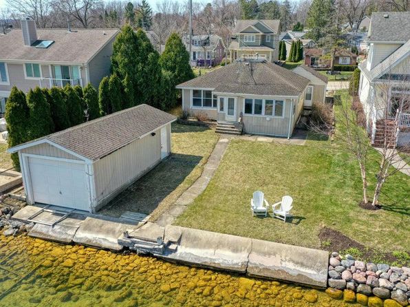




Crime & Safety Report for 737 DIVISION STREET, Delafield, WI 53018

Review crime and safety information near 737 DIVISION STREET, Delafield, WI 53018. HoodScore summarizes nearby reported incidents, registered sex offenders, and neighborhood safety indicators to help buyers and renters perform better location due diligence.

Generated At — 2026-07-25

Distance rings: 1 mi and 2 mi from the property.

PropertyIncidentsOffenders

Unlock the full safety report before making a decision about this neighborhood.

Full report contains 34 offenders within 5 miles and 1901 crime incidents in the last 12 months.

34 Registered Sex Offenders within 5 miles Near 737 DIVISION STREET, Delafield, WI 53018

34 Registered Offenders Nearby
6 Rape
26 Child Involved
18 Assault
2 Other
Photo Name / Age / Tags Arrest / Conviction Address Distance Risk
Offender photo

JOHNSON, ALEX G

39 years old

Child Involved

Violent

Second-Degree Sexual Assault of a Child

2024-12-17T08:08:31

223 WHITE PINE RD DELAFIELD, WI, 53018
1.3 Medium
Offender photo

MAINIERO, LOUIS M

69 years old

Child Involved

Violent

Second-Degree Sexual Assault of a Child

2024-12-17T08:08:31

W327S825 TIMBERLINE CIR DELAFIELD, WI, 53018
2.5 Medium
Offender photo

BLAKEWAY, CURTIS V

79 years old

Rapist

Violent

Second-Degree Sexual Assault

2024-12-17T08:08:31

292 LAKEVIEW DR APT 2 HARTLAND, WI, 53029
4.2 Medium
Offender photo

ACKLEY, DAVID

65 years old

Child Involved

Use of a Computer to Facilitate a Child Sex Crime

2024-12-17T08:08:31

633 BELSHIRE DR HARTLAND, WI, 53029
4.7 Medium
Offender photo

BORCHARDT, MICHAEL H

68 years old

Child Involved

Violent

First-Degree Sexual Assault of a Child

2024-12-17T08:08:31

Exposing Genitals/Pubic Area/Intimate Parts to a Child

2024-12-17T08:08:31

343 MANCHESTER LN HARTLAND, WI, 53029
3.6 Medium

1901 Crime & Incidents in the Last 12 Months

1901 Crime & Incidents by Severity
136 Severe
195 Medium
563 Low
1007 Other
Crime Location (Approx.) Severity Description

Traffic

07/16/2026 07:47 PM

N Dousman Rd, Oconomowoc, WI 53066

LOW

As discussed during the dispatch call, dispatch received a report of a possible minor crash in a store parking lot involving a dark gray Toyota 4Runner with Colorado plates and an older Honda Civic. Both vehicles reportedly remained parked in the lot after the caller left the area.

Traffic

07/16/2026 06:40 PM

N Sawyer Rd & E Wisconsin Ave, Okauchee Lake, WI 53069

LOW

As discussed during the dispatch call, officers conducted a traffic stop near North Sawyer Road and East Wisconsin Avenue in Okauchee Lake involving a specific vehicle plate.

Traffic

07/16/2026 06:39 PM

N Sawyer Rd & E Wisconsin Ave, Okauchee Lake, WI 53069

LOW

As discussed during the dispatch call, deputies conduct a traffic stop near Sawyer Road and Wisconsin Avenue involving a vehicle with a reported license plate.

Fire

07/16/2026 06:36 PM

N Lost Woods Rd, Oconomowoc, WI 53066

MEDIUM

As discussed during the dispatch call, fire units were dispatched to a reported first-floor smoke alarm activation near North Lost Woods Road and Stone Pine Lane. The alarm company later reported someone at the residence was cooking with a valid passcode, and one engine continued to the scene to verify while another unit cleared.

Fire

07/16/2026 06:34 PM

N Lost Woods Rd, Oconomowoc, WI 53066

MEDIUM

As discussed during the dispatch call, fire units were dispatched to a reported fire alarm at a building on North Lost Woods Road in the Western Lakes area.

Nearby Schools

Schools within 2 miles of this property, nearest first.

SchoolDistance
Cushing Elementary0.3 mi
Kettle Moraine 4K0.3 mi

Similar properties in Delafield

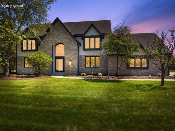
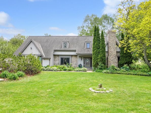
Other for-sale homes in Delafield within about 20% of this listing's price. Open a property for a HoodScore safety preview.

$850,000
4 bd | 3 ba | 3,136 sqft
906 Scenic Heights DRIVE
Delafield, WI, 53018
View Safety Report
$819,900
4 bd | 4 ba | 4,554 sqft
S1W31448 Hickory Hollow COURT
Delafield, WI, 53018
View Safety Report

Frequently asked questions

Is 737 DIVISION STREET in a low-crime area?

The current report summarizes crime-related incidents within 5 miles during the last 12 months. HoodScore compares these records with relevant benchmarks, but no report can guarantee future safety.

Why are traffic and medical calls shown separately from crime?

Traffic, medical and fire records are public-safety incidents but are not necessarily crimes. HoodScore separates them to avoid overstating the crime count.

How often is this HoodScore report updated?

The report displays its generated date. Update frequency varies by source and is explained in the HoodScore methodology.

How is the HoodScore calculated?

HoodScore combines nearby crime and offender data into a neighborhood safety score. Visit https://www.hoodscore.com/hoodscore-calculator.html to see how the calculation works.