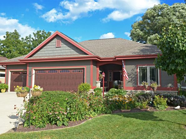

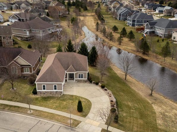
Crime & Safety Report for 2934 County Rd W, Deerfield, WI 53531

Review crime and safety information near 2934 County Rd W, Deerfield, WI 53531. HoodScore summarizes nearby reported incidents, registered sex offenders, and neighborhood safety indicators to help buyers and renters perform better location due diligence.

Generated At — 2026-07-27
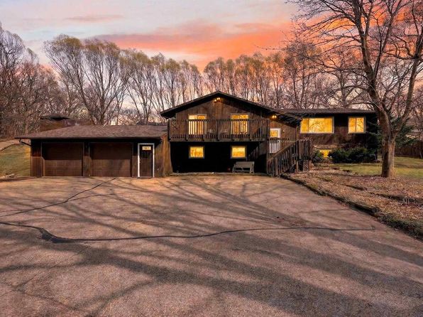
Distance rings: 1 mi and 2 mi from the property.

PropertyIncidentsOffenders

Unlock the full safety report before making a decision about this neighborhood.

Full report contains 22 offenders within 5 miles and 183 crime incidents in the last 12 months.

22 Registered Sex Offenders within 5 miles Near 2934 County Rd W, Deerfield, WI 53531

22 Registered Offenders Nearby
8 Rape
19 Child Involved
15 Assault
1 Other
Photo Name / Age / Tags Arrest / Conviction Address Distance Risk
Offender photo

SIMLE, JASON M

48 years old

Child Involved

Violent

3083 COUNTY ROAD BN COTTAGE GROVE, WI, 53527
1.8 Medium
Offender photo

BAGLEY, JAMES W

51 years old

Child Involved

Rapist

Violent

First-Degree Sexual Assault of a Child

2024-12-17T08:08:31

308 PINE CREST DR APT 3 CAMBRIDGE, WI, 53523
4.8 Medium
Offender photo

DANIEL, ZACHARY M

56 years old

Child Involved

Rapist

Violent

First-Degree Sexual Assault of a Child

2024-12-17T08:08:31

225 WATER ST APT 225 CAMBRIDGE, WI, 53523
5 Medium
Offender photo

KINCAID, DENNIS M

76 years old

Child Involved

Rapist

Violent

First-Degree Sexual Assault of a Child

2024-12-17T08:08:31

103 JEFFERSON ST RM 1 CAMBRIDGE, WI, 53523
4.8 Medium
Offender photo

NELSON, RICKY A SR

67 years old

Child Involved

Child Enticement

2024-12-17T08:08:31

103 JEFFERSON ST UNIT 10 CAMBRIDGE, WI, 53523
4.8 Medium

183 Crime & Incidents in the Last 12 Months

183 Crime & Incidents by Severity
23 Severe
20 Medium
54 Low
86 Other
Crime Location (Approx.) Severity Description

Traffic

07/16/2026 07:43 PM

US-12, Deerfield, WI

LOW

As discussed during the dispatch call, radio traffic describes a report of a black SUV driving recklessly westbound on Highway 12 near the Cambridge and Deerfield area, with deputies making contact with that vehicle in Deerfield. During the same period, units are dispatched to Classic Apartments on West Verona for a possible domestic or mental health incident involving a woman reportedly banging her head and allegedly forcing her way into another apartment on the second floor.

Traffic

07/16/2026 07:43 PM

Westgate Ct, Cambridge, WI 53523

LOW

As discussed during the dispatch call, dispatch broadcast a be-on-the-lookout in the village of Cambridge for a reportedly reckless black SUV westbound near Highway 12 or Westgate Court. The caller said the vehicle could not maintain its lane and requested contact with deputies, and multiple units indicated they would watch for it.

Non-Crime Event

07/16/2026 06:24 PM

Lake St, Deerfield, WI 53531

Unknown

As discussed during the dispatch call, dispatch reports a confirmed 911 misdial at a lot off Lake Street, and a unit acknowledges the call.

Traffic

07/16/2026 10:58 AM

US-12 & US-18, Cambridge, WI 53523

LOW

As discussed during the dispatch call, radio traffic reports possible road debris, described as a box of siding, in the right lane of a westbound highway near US-12 and US-18 in the Cambridge area.

Non-Crime Event

07/16/2026 09:19 AM

Bluebird Pass, Cambridge, WI 53523

Unknown

As discussed during the dispatch call, dispatch reports a possible unintentional 911 call near Bluebird Pass in the village of Cambridge.

Similar properties in Deerfield

Other for-sale homes in Deerfield within about 20% of this listing's price. Open a property for a HoodScore safety preview.

$645,000
4 bd | 3 ba | 3,634 sqft
269 West Nelson Street
Deerfield, WI, 53531
View Safety Report
$669,900
4 bd | 4 ba | 3,856 sqft
245 Stone Bridge Circle
Deerfield, WI, 53531
View Safety Report
$524,900
3 bd | 2 ba | 1,615 sqft
171 Savannah Parkway
Deerfield, WI, 53531
View Safety Report

Frequently asked questions

Is 2934 County Rd W in a low-crime area?

The current report summarizes crime-related incidents within 5 miles during the last 12 months. HoodScore compares these records with relevant benchmarks, but no report can guarantee future safety.

Why are traffic and medical calls shown separately from crime?

Traffic, medical and fire records are public-safety incidents but are not necessarily crimes. HoodScore separates them to avoid overstating the crime count.

How often is this HoodScore report updated?

The report displays its generated date. Update frequency varies by source and is explained in the HoodScore methodology.

How is the HoodScore calculated?

HoodScore combines nearby crime and offender data into a neighborhood safety score. Visit https://www.hoodscore.com/hoodscore-calculator.html to see how the calculation works.