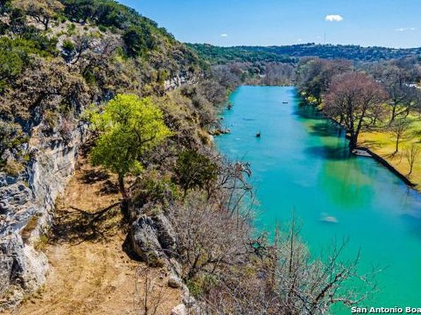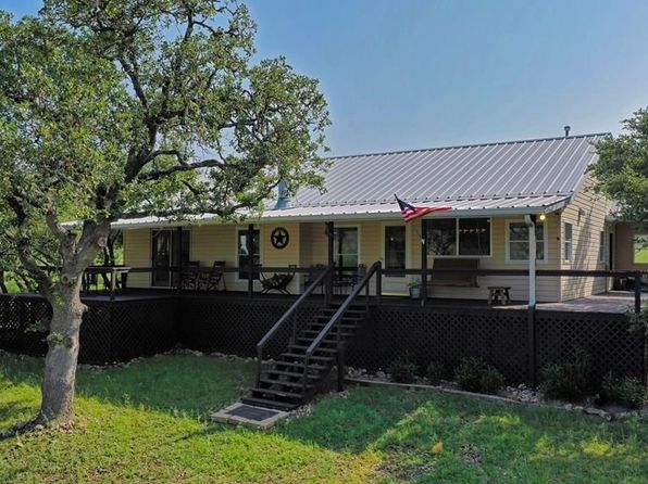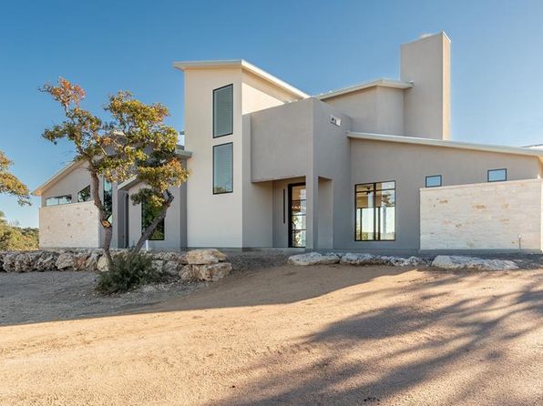
Crime & Safety Report for 320 Overland Trail W, Hunt, TX 78024

Review crime and safety information near 320 Overland Trail W, Hunt, TX 78024. HoodScore summarizes nearby reported incidents, registered sex offenders, and neighborhood safety indicators to help buyers and renters perform better location due diligence.

Generated At — 2026-07-25
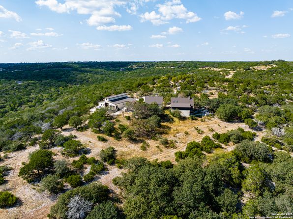
Distance rings: 1 mi and 2 mi from the property.

PropertyIncidentsOffenders

Unlock the full safety report before making a decision about this neighborhood.

Full report contains 3 offenders within 5 miles and 13 crime incidents in the last 12 months.

3 Registered Sex Offenders within 5 miles Near 320 Overland Trail W, Hunt, TX 78024

3 Registered Offenders Nearby
0 Rape
3 Child Involved
1 Assault
0 Other
Photo Name / Age / Tags Arrest / Conviction Address Distance Risk
Offender photo

KNIGHT, JOHN PAUL

40 years old

Child Involved

ARIZONA REVISED STATUTES 13-1405 - Offense: SEXUAL CONDUCT WITH A MINOR/VICTIM IS AT LEAST 14, BUT UNDER 17 YEARS OF AGE

2024-10-06T06:51:37

220 RANCH RIM DRIVE HUNT, TX, 78024
3.9 Medium

13 Crime & Incidents in the Last 12 Months

13 Crime & Incidents by Severity
2 Severe
1 Low
10 Other
Crime Location (Approx.) Severity Description

Flooding

07/16/2026 02:13 PM

FM 1340, Hunt, TX

Unknown

As discussed during the dispatch call, radio traffic reports a possible ~5-foot wall of water moving downstream near Graham Crossing. A unit checking Johnson/Johnston Creek Bridge reports the waterline appears to have dropped about 10–12 feet compared with an earlier rock marker observation. Location referenced as Graham Crossing near FM 1340 (exact spot unclear).

Water Hazard

07/16/2026 01:45 PM

FM 1340, Hunt, TX 78024

Unknown

As discussed during the dispatch call, radio traffic reports that a caller near FM 1340 in Hunt, Texas, said the river level had crested about five to six feet around 3:39 p.m., indicating a possible flooding-related water hazard update.

Flooding

07/16/2026 01:45 PM

FM 1340, Hunt, TX 78024

Unknown

As discussed during the dispatch call, emergency units discussed river rise concerns reported near FM 1340 in Hunt, Texas. Crews noted that the water level appeared lower than earlier but were placing markers and checking upstream to monitor any possible renewed flooding.

Road Closure

07/16/2026 09:49 AM

TX-39, Hunt, TX 78024

Unknown

As discussed during the dispatch call, radio traffic describes possible flooding and high water over sections of Highway 39 near Hunt, with reports that some areas may be impassable and at least one eastbound lane blocked by a vehicle. Units are checking road conditions and advising others to use caution or alternate routes.

Road Closure

07/16/2026 06:21 AM

Hunt, TX 78024

Unknown

As discussed during the dispatch call, radio traffic indicates a possible flood-related road closure near Hunt Crossing and the Cottonwood area by Hunt, Texas. Water has reportedly risen to about a foot over a bridge, and units are staging near a fire station or school as conditions may continue to worsen.

Similar properties in Hunt

Other for-sale homes in Hunt within about 20% of this listing's price. Open a property for a HoodScore safety preview.

Frequently asked questions

Is 320 Overland Trail W in a low-crime area?

The current report summarizes crime-related incidents within 5 miles during the last 12 months. HoodScore compares these records with relevant benchmarks, but no report can guarantee future safety.

Why are traffic and medical calls shown separately from crime?

Traffic, medical and fire records are public-safety incidents but are not necessarily crimes. HoodScore separates them to avoid overstating the crime count.

How often is this HoodScore report updated?

The report displays its generated date. Update frequency varies by source and is explained in the HoodScore methodology.

How is the HoodScore calculated?

HoodScore combines nearby crime and offender data into a neighborhood safety score. Visit https://www.hoodscore.com/hoodscore-calculator.html to see how the calculation works.