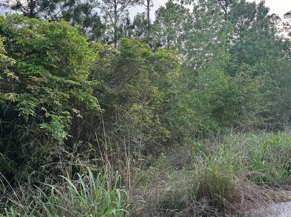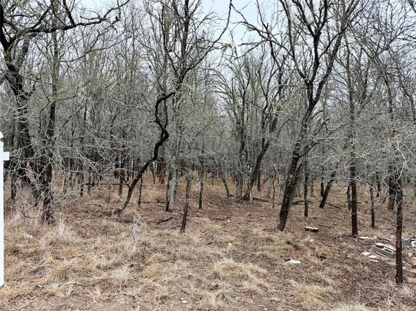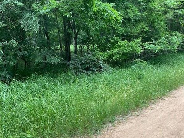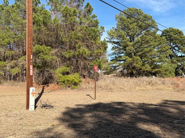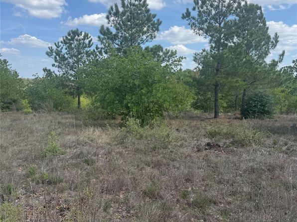
Crime & Safety Report for 294 flint ridge LOT 6, Bastrop, TX 78602

Review crime and safety information near 294 flint ridge LOT 6, Bastrop, TX 78602. HoodScore summarizes nearby reported incidents, registered sex offenders, and neighborhood safety indicators to help buyers and renters perform better location due diligence.

Generated At — 2026-07-25

Distance rings: 1 mi and 2 mi from the property.

PropertyIncidentsOffenders

Unlock the full safety report before making a decision about this neighborhood.

Full report contains 83 offenders within 5 miles and 817 crime incidents in the last 12 months.

83 Registered Sex Offenders within 5 miles Near 294 flint ridge LOT 6, Bastrop, TX 78602

83 Registered Offenders Nearby
16 Rape
55 Child Involved
47 Assault
10 Other
Photo Name / Age / Tags Arrest / Conviction Address Distance Risk
Offender photo

BOWIE, SHAMSADEAN JERMAINE

44 years old

INCARCERATED (TEXAS - HIGHWAY 95 NORTH) BASTROP, TX, 78602
3.8 Medium
Offender photo

ORTA, ADAM

68 years old

113 WEST ALAMO CIRCLE BASTROP, TX, 78602
1.2 Medium
Offender photo

HINOJOSA, MYRON MARTINEZ

20 years old

Child Involved

TEXAS PENAL CODE 21.11(a)(1) - Offense: INDECENCY WITH A CHILD BY CONTACT

2024-10-06T06:51:37

144 TORCHLIGHT DR BASTROP, TX, 78602
0.7 High
Offender photo

CLARKE, JOHN D

55 years old

Child Involved

182 CEDAR SHADE LANE BASTROP, TX, 78602
2 Medium
Offender photo

HERNANDEZ, RALPH SALVADOR

43 years old

Child Involved

Violent

INCARCERATED (TEXAS - JACKSON ST) BASTROP, TX, 78602
4.9 Medium

817 Crime & Incidents in the Last 12 Months

817 Crime & Incidents by Severity
83 Severe
96 Medium
311 Low
327 Other
Crime Location (Approx.) Severity Description

Domestic Dispute

07/16/2026 08:50 PM

State Hwy 71, Bastrop, TX 78602

Unknown

As discussed during the dispatch call, officers responded near a Chevron along Highway 290 for a reported family disturbance involving a man who had been arguing and was later seen walking across both directions of the highway. Radio traffic indicated the incident was verbal only, and units contacted the subject in the area.

Suspicious Activity

07/16/2026 04:37 PM

Buttonwood St, Bastrop, TX 78602

MEDIUM

As discussed during the dispatch call, deputies and an aerial unit conducted a search in a residential area near Buttonwood Street in Bastrop for a possible fleeing suspect who reportedly jumped a fence. Residents said they had not seen anyone, deputies checked for broken fences, and the search was later called off without finding the person.

Traffic

07/16/2026 04:26 PM

Main St, Bastrop, TX 78602

LOW

As discussed during the dispatch call, emergency crews responded to a two-vehicle crash with minor damage and fluid leaking, blocking part of Main Street in Bastrop, Texas. Law enforcement was already on scene when fire units arrived.

Traffic

07/16/2026 04:24 PM

Main St, Bastrop, TX 78602

LOW

As discussed during the dispatch call, fire units were dispatched to a reported vehicle crash in the (number withheld) block of Main Street in Bastrop, Texas, with responders directed to use a fire tactical channel around 18:25.

Traffic

07/16/2026 04:17 PM

Laurel St & Main St, Bastrop, TX 78602

LOW

As discussed during the dispatch call, officers attempted a traffic stop on a Jeep near Main Street and Laurel Street in Bastrop. The vehicle reportedly failed to stop, continued along Main Street, and crashed into at least one parked vehicle just south of Floral Street. The driver, described as a man wearing a black shirt and black jeans or pants, apparently ran away on foot in varying reported directions around the 1300 to 1400 blocks of Main Street. Units began setting a perimeter in nearby streets and requested fire and EMS for people injured in the crash.

Nearby Schools

Schools within 2 miles of this property, nearest first.

SchoolDistance
LOST PINES EL1.6 mi

Similar properties in Bastrop

Other for-sale homes in Bastrop within about 20% of this listing's price. Open a property for a HoodScore safety preview.

Frequently asked questions

Is 294 flint ridge LOT 6 in a low-crime area?

The current report summarizes crime-related incidents within 5 miles during the last 12 months. HoodScore compares these records with relevant benchmarks, but no report can guarantee future safety.

Why are traffic and medical calls shown separately from crime?

Traffic, medical and fire records are public-safety incidents but are not necessarily crimes. HoodScore separates them to avoid overstating the crime count.

How often is this HoodScore report updated?

The report displays its generated date. Update frequency varies by source and is explained in the HoodScore methodology.

How is the HoodScore calculated?

HoodScore combines nearby crime and offender data into a neighborhood safety score. Visit https://www.hoodscore.com/hoodscore-calculator.html to see how the calculation works.