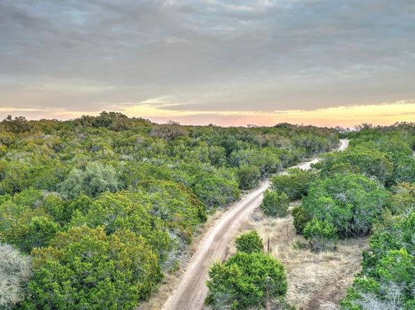

Crime & Safety Report for 1283 Highway 39, Hunt, TX 78024

Review crime and safety information near 1283 Highway 39, Hunt, TX 78024. HoodScore summarizes nearby reported incidents, registered sex offenders, and neighborhood safety indicators to help buyers and renters perform better location due diligence.

Generated At — 2026-07-25

Distance rings: 1 mi and 2 mi from the property.

PropertyIncidentsOffenders

Unlock the full safety report before making a decision about this neighborhood.

Full report contains 21 offenders within 5 miles and 58 crime incidents in the last 12 months.

21 Registered Sex Offenders within 5 miles Near 1283 Highway 39, Hunt, TX 78024

21 Registered Offenders Nearby
4 Rape
15 Child Involved
12 Assault
4 Other
Photo Name / Age / Tags Arrest / Conviction Address Distance Risk
Offender photo

LAW, ANTHONY RAY

40 years old

199 SECOND ST. INGRAM, TX, 78025
4.5 Medium
Offender photo

GEORGE, JOSEPH MICHAEL

44 years old

240 HAZELETT DALE RD S KERRVILLE, TX, 78028
4.8 Medium
Offender photo

ASBERRY, DEAN PAUL

64 years old

Rapist

Violent

TEXAS PENAL CODE 22.021 - Offense: AGGRAVATED SEXUAL ASSAULT

2024-10-06T06:51:37

135 LOOKER DR UNIT 7B INGRAM, TX, 78025
2.2 Medium
Offender photo

HOLLOWELL, CHARLES MICHAEL

47 years old

Child Involved

Rapist

Violent

TEXAS PENAL CODE 22.021(a)(1)(B) - Offense: AGGRAVATED SEXUAL ASSAULT OF A CHILD

2024-10-06T06:51:37

TEXAS PENAL CODE 22.021(a)(1)(B) - Offense: AGGRAVATED SEXUAL ASSAULT OF A CHILD

2024-10-06T06:51:37

TEXAS PENAL CODE 22.021(a)(1)(B) - Offense: AGGRAVATED SEXUAL ASSAULT OF A CHILD

2024-10-06T06:51:37

3415 JUNCTION HWY INGRAM, TX, 78025
4 Medium
Offender photo

MURAYAMA, CALVIN MITSURU

82 years old

Child Involved

210 1ST ST INGRAM, TX, 78025
4.5 Medium

58 Crime & Incidents in the Last 12 Months

58 Crime & Incidents by Severity
3 Severe
6 Medium
10 Low
39 Other
Crime Location (Approx.) Severity Description

Welfare Check

07/16/2026 09:16 PM

Alta Loma St, Ingram, TX 78025

Unknown

As discussed during the dispatch call, deputies responded to a welfare concern at a residence on Alta Loma in Ingram, where a caller reported her daughter was there with a significant other despite a protective order between them. The caller was also on scene in a black Nissan while deputies checked on the daughter.

Missing Person

07/16/2026 02:45 PM

Ingram Hills Rd, Ingram, TX 78025

LOW

As discussed during the dispatch call, a deputy was flagged down near the 800 block of Hills Road about an apparently abandoned vehicle that neighbors said did not belong in the area and might be related to a missing person case. Dispatch reported having contact information for the registered owner of the vehicle.

Flooding

07/16/2026 02:13 PM

FM 1340, Hunt, TX

Unknown

As discussed during the dispatch call, radio traffic reports a possible ~5-foot wall of water moving downstream near Graham Crossing. A unit checking Johnson/Johnston Creek Bridge reports the waterline appears to have dropped about 10–12 feet compared with an earlier rock marker observation. Location referenced as Graham Crossing near FM 1340 (exact spot unclear).

Missing Person

07/16/2026 01:51 PM

Beaver Rd, Ingram, TX 78025

LOW

As discussed during the dispatch call, deputies are dispatched for a welfare check at a residence on Beaver Road after a caller reported being unable to reach relatives there.

Flooding

07/16/2026 09:59 AM

Junction Hwy, Ingram, TX 78025

Unknown

As discussed during the dispatch call, radio traffic reports a rapidly rising water threat near an RV park by Johnson Creek, with heavy water expected to move quickly downstream toward the Guadalupe River and Indian Creek. Officials mention possible evacuations due to the high water.

Nearby Schools

Schools within 2 miles of this property, nearest first.

SchoolDistance
HUNT SCHOOL1.8 mi

Similar properties in Hunt

Other for-sale homes in Hunt within about 20% of this listing's price. Open a property for a HoodScore safety preview.

Frequently asked questions

Is 1283 Highway 39 in a low-crime area?

The current report summarizes crime-related incidents within 5 miles during the last 12 months. HoodScore compares these records with relevant benchmarks, but no report can guarantee future safety.

Why are traffic and medical calls shown separately from crime?

Traffic, medical and fire records are public-safety incidents but are not necessarily crimes. HoodScore separates them to avoid overstating the crime count.

How often is this HoodScore report updated?

The report displays its generated date. Update frequency varies by source and is explained in the HoodScore methodology.

How is the HoodScore calculated?

HoodScore combines nearby crime and offender data into a neighborhood safety score. Visit https://www.hoodscore.com/hoodscore-calculator.html to see how the calculation works.