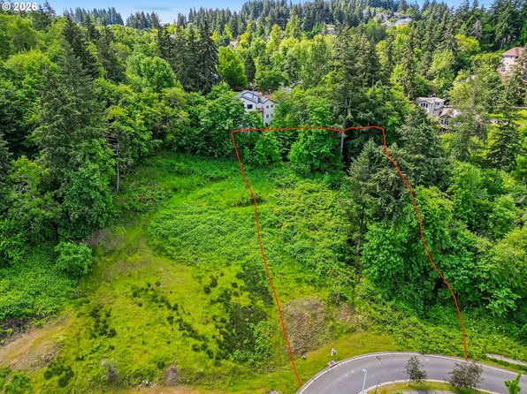

Crime & Safety Report for 2191 Lorane Hwy, Eugene, OR 97405

Review crime and safety information near 2191 Lorane Hwy, Eugene, OR 97405. HoodScore summarizes nearby reported incidents, registered sex offenders, and neighborhood safety indicators to help buyers and renters perform better location due diligence.

Generated At — 2026-07-25

Distance rings: 1 mi and 2 mi from the property.

PropertyIncidentsOffenders

Unlock the full safety report before making a decision about this neighborhood.

Full report contains 43 offenders within 5 miles and 1280 crime incidents in the last 12 months.

43 Registered Sex Offenders within 5 miles Near 2191 Lorane Hwy, Eugene, OR 97405

43 Registered Offenders Nearby
21 Rape
0 Child Involved
1 Assault
22 Other
Photo Name / Age / Tags Arrest / Conviction Address Distance Risk
Offender photo

HETHERINGTON, SAMUEL RAY

51 years old

Rapist

Violent

990 W 6TH AVE EUGENE, OR, 97402
2.6 Medium
Offender photo

Isaiah Christopher Lininger

years old

Rapist

2557 Kincaid St Eugene, OR, 97405
2.4 Medium
Offender photo

James Patrick Banks

years old

Rapist

1921 Taft St Eugene, OR, 97402
4.8 Medium
Offender photo

Matthew James Gordon

years old

Rapist

1140 6th Ave Eugene, OR, 97402
2.5 Medium
Offender photo

Michael Thomas Norton

years old

1542 1st Ave Eugene, OR, 97402
2.8 Medium

1280 Crime & Incidents in the Last 12 Months

1280 Crime & Incidents by Severity
132 Severe
61 Medium
126 Low
961 Other
Crime Location (Approx.) Severity Description

Medical Emergency

07/16/2026 11:17 PM

Lincoln St, Eugene, OR 97401

Unknown

As discussed during the dispatch call, an emergency medical team responded to a report of a nosebleed near Lincoln Street, West 12th Alley, and West 13th Avenue in Eugene. Engine 1 and Medic 71 were assigned to the scene.

Medical Emergency

07/16/2026 10:48 PM

W 6th Ave, Eugene, OR 97402

Unknown

As discussed during the dispatch call, engine 2 and Medic 6 were dispatched for a possible police assist evaluation near West 6th Avenue and Blair Boulevard in Eugene; incident later disregarded.

Medical Emergency

07/16/2026 10:48 PM

Bailey Ln, Eugene, OR 97401

Unknown

As discussed during the dispatch call, medic 84 Alpha dispatched for a fall injury at Grace Manor Living Center near Bailey Lane, (number withheld).

Fire

07/16/2026 10:36 PM

W 22nd Ave, Eugene, OR 97405

MEDIUM

As discussed during the dispatch call, emergency units were sent to a report of two people possibly lighting a small fire with accelerants near porta potties by the track in the area of West 22nd Avenue, across from Fillmore and Chambers. The fire appeared to be completely out before responders arrived, and the subjects were no longer at the scene. Responding units were later advised they could disregard.

Fire

07/16/2026 10:33 PM

W 22nd Ave, Eugene, OR 97405

MEDIUM

As discussed during the dispatch call, fire crews are dispatched to a school on West 22nd Avenue near Fillmore Street and Chambers Street in Eugene for a reported reckless burning.

Nearby Schools

Schools within 2 miles of this property, nearest first.

SchoolDistance
Family School0.7 mi
Arts and Technology Academy at Jefferson1.3 mi
Adams Elementary School1.4 mi
Camas Ridge Community Elementary1.5 mi
Lane School1.6 mi
Transitions1.6 mi
Village School1.6 mi
McCornack Elementary School1.7 mi
Cesar Chavez Elementary School1.8 mi
Network Charter School1.8 mi
Chinese Language Immersion School2.0 mi
Kennedy Middle School2.0 mi
Churchill High School2.0 mi

Similar properties in Eugene

Other for-sale homes in Eugene within about 20% of this listing's price. Open a property for a HoodScore safety preview.

$149,500
3 bd | 2 ba | 1,442 sqft
4900 Royal Ave Space 105
Eugene, OR, 97402
View Safety Report
$141,900
2 bd | 2 ba | 1,152 sqft
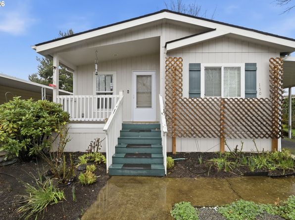
1475 Green Acres Rd Space 150
Eugene, OR, 97408
View Safety Report
$169,500
3 bd | 2 ba | 2,100 sqft
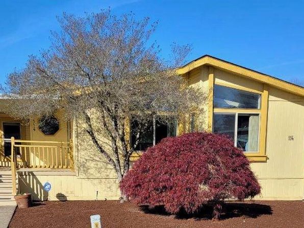
1199 N Terry St Space 114
Eugene, OR, 97402
View Safety Report

Frequently asked questions

Is 2191 Lorane Hwy in a low-crime area?

The current report summarizes crime-related incidents within 5 miles during the last 12 months. HoodScore compares these records with relevant benchmarks, but no report can guarantee future safety.

Why are traffic and medical calls shown separately from crime?

Traffic, medical and fire records are public-safety incidents but are not necessarily crimes. HoodScore separates them to avoid overstating the crime count.

How often is this HoodScore report updated?

The report displays its generated date. Update frequency varies by source and is explained in the HoodScore methodology.

How is the HoodScore calculated?

HoodScore combines nearby crime and offender data into a neighborhood safety score. Visit https://www.hoodscore.com/hoodscore-calculator.html to see how the calculation works.