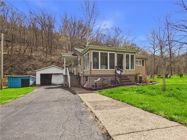
Crime & Safety Report for 8587 County Road 15, Rayland, OH 43943

Review crime and safety information near 8587 County Road 15, Rayland, OH 43943. HoodScore summarizes nearby reported incidents, registered sex offenders, and neighborhood safety indicators to help buyers and renters perform better location due diligence.

Generated At — 2026-07-26

Distance rings: 1 mi and 2 mi from the property.

PropertyIncidentsOffenders

Unlock the full safety report before making a decision about this neighborhood.

Full report contains 21 offenders within 5 miles and 425 crime incidents in the last 12 months.

21 Registered Sex Offenders within 5 miles Near 8587 County Road 15, Rayland, OH 43943

21 Registered Offenders Nearby
2 Rape
6 Child Involved
4 Assault
10 Other
Photo Name / Age / Tags Arrest / Conviction Address Distance Risk
Offender photo

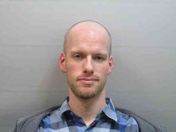
PAXTON, ALEX DANIEL

36 years old

Child Involved

2907.322 - Pandering Sexually Oriented Matter involving minor

2024-12-17T11:36:19

444 MARKET ST YORKVILLE, OH, 43971
2.6 Medium
Offender photo

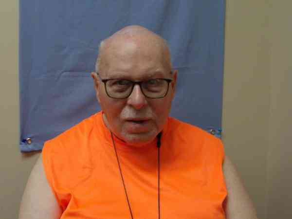
PETTIT, HAROLD E

81 years old

Child Involved

Rapist

14-27.7A - Statutory Rape of 13,14,15 yr old Sexual Motivation

2024-12-17T11:36:19

151A MARKET ST YORKVILLE, OH, 43971
2.3 Medium
Offender photo

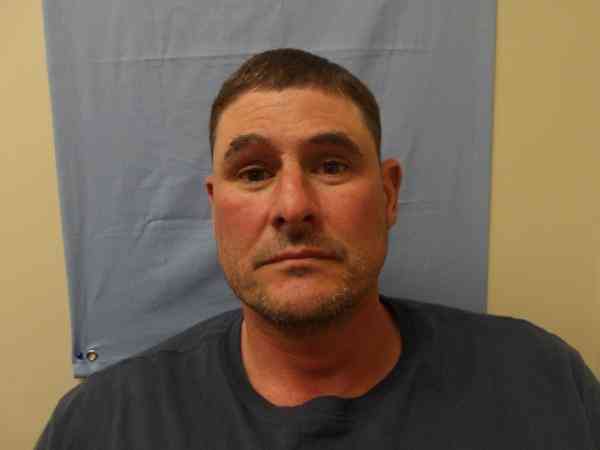
JORDAN, ERIC SEAN

47 years old

Rapist

2907.02 - Rape

2024-12-17T11:36:19

1500 COUNTY ROAD 20 DILLONVALE, OH, 43917
4.3 Medium
Offender photo

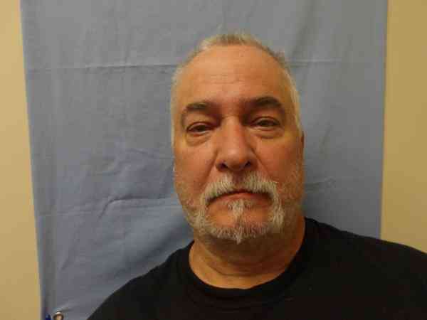
BRAWDY, GREGORY ALAN

66 years old

Violent

39-13-527 - SEXUAL BATTERY BY AN AUTHORITY FIGURE

2024-12-17T11:36:19

86 6TH AVE RAYLAND, OH, 43943
2.5 Medium
Offender photo

KURKO, THOMAS JOSEPH

51 years old

2389 TOWNSHIP ROAD 106 RAYLAND, OH, 43943
4.9 Medium

425 Crime & Incidents in the Last 12 Months

425 Crime & Incidents by Severity
48 Severe
45 Medium
57 Low
275 Other
Crime Location (Approx.) Severity Description

Medical Emergency

07/16/2026 10:21 PM

Smithfield St, Dillonvale, OH 43917

Unknown

As discussed during the dispatch call, a medical alarm activation occurred near Smithfield Street in Dillonvale. A female reportedly fell and may have a lip laceration. Responding stations include 35, 51, 22, 37, and mutual aid station 56.

Medical Emergency

07/16/2026 10:17 PM

Mound St, Tiltonsville, OH 43963

Unknown

As discussed during the dispatch call, a cardiac emergency involving a female with chest pain was reported near Mound Street in Tiltonsville.

Medical Emergency

07/16/2026 10:16 PM

Smithfield St, Dillonvale, OH 43917

Unknown

As discussed during the dispatch call, units are dispatched to a medical alarm activation on Smithfield Street for a woman reportedly found unresponsive, with this being the second activation at that location.

Medical Emergency

07/16/2026 10:11 PM

Smithfield St, Dillonvale, OH 43917

Unknown

As discussed during the dispatch call, a medical alarm was activated twice near Smithfield Street for a female who fell. It is unclear if there were any injuries.

Disturbance

07/16/2026 06:49 PM

Cleveland St, Rayland, OH 43943

Unknown

As discussed during the dispatch call, deputies were sent to check a possible disturbance near Cleveland Street in Rayland after a caller reported a male yelling and demanding keys a few houses away.

Nearby Schools

Schools within 2 miles of this property, nearest first.

SchoolDistance
Buckeye South Elementary School1.3 mi
Buckeye Local Junior High1.3 mi
Buckeye Local High School1.3 mi

Similar properties in Rayland

Other for-sale homes in Rayland within about 20% of this listing's price. Open a property for a HoodScore safety preview.

Frequently asked questions

Is 8587 County Road 15 in a low-crime area?

The current report summarizes crime-related incidents within 5 miles during the last 12 months. HoodScore compares these records with relevant benchmarks, but no report can guarantee future safety.

Why are traffic and medical calls shown separately from crime?

Traffic, medical and fire records are public-safety incidents but are not necessarily crimes. HoodScore separates them to avoid overstating the crime count.

How often is this HoodScore report updated?

The report displays its generated date. Update frequency varies by source and is explained in the HoodScore methodology.

How is the HoodScore calculated?

HoodScore combines nearby crime and offender data into a neighborhood safety score. Visit https://www.hoodscore.com/hoodscore-calculator.html to see how the calculation works.