
Crime & Safety Report for 4947 Charlemar Dr, Cincinnati, OH 45227

Review crime and safety information near 4947 Charlemar Dr, Cincinnati, OH 45227. HoodScore summarizes nearby reported incidents, registered sex offenders, and neighborhood safety indicators to help buyers and renters perform better location due diligence.

Generated At — 2026-07-25

Distance rings: 1 mi and 2 mi from the property.

PropertyIncidentsOffenders

Unlock the full safety report before making a decision about this neighborhood.

Full report contains 311 offenders within 5 miles and 13061 crime incidents in the last 12 months.

311 Registered Sex Offenders within 5 miles Near 4947 Charlemar Dr, Cincinnati, OH 45227

311 Registered Offenders Nearby
91 Rape
96 Child Involved
35 Assault
109 Other
Photo Name / Age / Tags Arrest / Conviction Address Distance Risk
Offender photo

REED, HAROLD JOSEPH

39 years old

Child Involved

Statue - 35-42-4-3, Charge - Child Molesting

2024-12-17T07:36:32

5217 BEECH ST CINCINNATI, OH, 45217
5 Medium
Offender photo

BELL, JACOB DILLEN

31 years old

Child Involved

87 MARY INGLES HWY DAYTON, KY, 41074
4 Medium
Offender photo

CAMM, JOSEPH

36 years old

1027 4TH AVE UNIT 2 DAYTON, KY, 41074
4.3 Medium
Offender photo

FILACCHIONE, MICHAEL ANTON

39 years old

Child Involved

1027 4TH AVE APT 1 DAYTON, KY, 41074
4.3 Medium
Offender photo

HARRISON, CLINTON LEE

70 years old

505 7TH AVE DAYTON, KY, 41074
4.8 Medium

13061 Crime & Incidents in the Last 12 Months

13061 Crime & Incidents by Severity
1779 Severe
1730 Medium
2648 Low
6904 Other
Crime Location (Approx.) Severity Description

Domestic Dispute

07/16/2026 10:50 PM

Glenmeadow Ln, Cincinnati, OH 45237

Unknown

As discussed during the dispatch call, officers were sent to a possible child welfare concern near Glen Meadow Lane, where a 14-year-old was reportedly unable to reach their mother and a neighbor appeared to call for assistance.

Break-In

07/16/2026 10:48 PM

Madison Rd, Cincinnati, OH 45208

Unknown

As discussed during the dispatch call, officers responded to a possible alarm issue at a business on Madison Road after a report of an open signal and invalid user, then checked the location and cleared.

Traffic

07/16/2026 10:47 PM

Red Bank Rd, Cincinnati, OH 45227

LOW

As discussed during the dispatch call, officers conducted a possible traffic stop with one person on Red Bank Road near a commercial address and later cleared from the scene.

Break-In

07/16/2026 10:42 PM

Montgomery Rd, Cincinnati, OH 45212

Unknown

As discussed during the dispatch call, radio traffic indicates officers were handling a possible intrusion alarm at a store location, and one related matter at a UDF site was later disregarded.

Suspicious Activity

07/16/2026 10:40 PM

Reading Rd, Cincinnati, OH 45229

MEDIUM

As discussed during the dispatch call, officers investigated a suspicious vehicle reported running for several hours near an address on Reading Road. The vehicle was registered to a nearby apartment, and one person was later detained.

Nearby Schools

Schools within 2 miles of this property, nearest first.

SchoolDistance
Shroder High School0.4 mi
John P. Parker School0.6 mi
Lighthouse School1.1 mi
Citizens of the World Charter Schools - Cincinnati1.3 mi
Bramble School1.3 mi
Mariemont Junior High School1.4 mi
Woodford Academy1.4 mi
T.C.P. World Academy1.7 mi
Clark Montessori High School1.8 mi
Pleasant Ridge Montessori School1.9 mi
Kilgour School1.9 mi
ChallengeU Ohio Community School1.9 mi
Mariemont Elementary School2.0 mi

Similar properties in Cincinnati

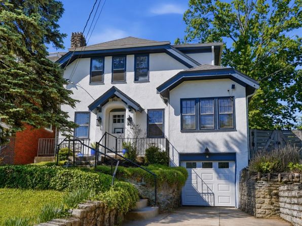
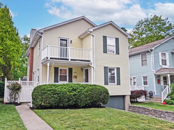
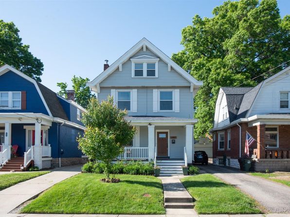
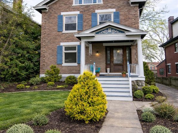
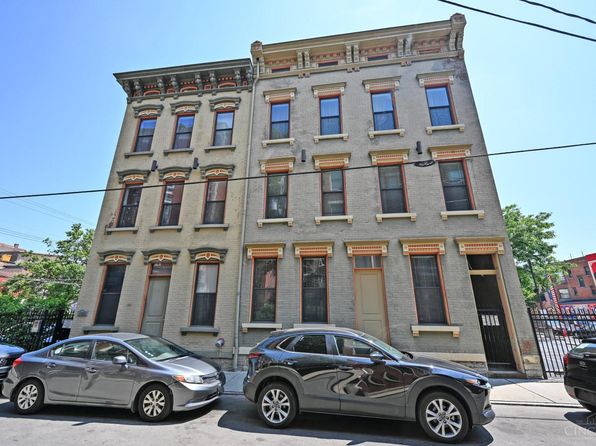
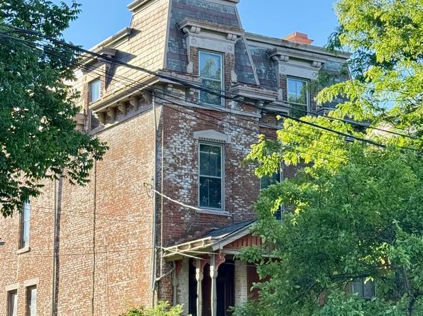
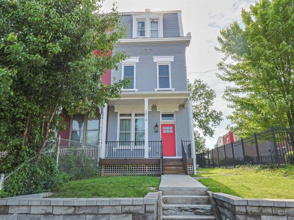
Other for-sale homes in Cincinnati within about 20% of this listing's price. Open a property for a HoodScore safety preview.

$490,000
4 bd | 3 ba | 1,836 sqft
2840 Pine Grove Ave
Cincinnati, OH, 45267
View Safety Report
$489,900
2 bd | 2 ba | 1,396 sqft
1222 Republic St Unit 3
Cincinnati, OH, 45267
View Safety Report
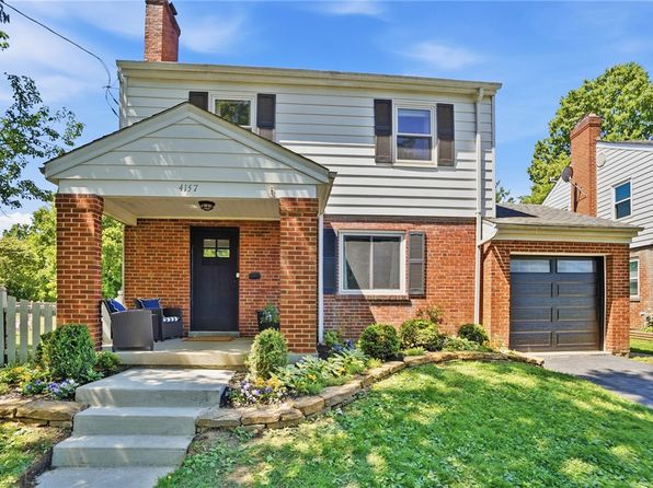
$485,000
3 bd | 2 ba | 1,300 sqft
4157 Paxton Woods Ln
Cincinnati, OH, 45267
View Safety Report

Frequently asked questions

Is 4947 Charlemar Dr in a low-crime area?

The current report summarizes crime-related incidents within 5 miles during the last 12 months. HoodScore compares these records with relevant benchmarks, but no report can guarantee future safety.

Why are traffic and medical calls shown separately from crime?

Traffic, medical and fire records are public-safety incidents but are not necessarily crimes. HoodScore separates them to avoid overstating the crime count.

How often is this HoodScore report updated?

The report displays its generated date. Update frequency varies by source and is explained in the HoodScore methodology.

How is the HoodScore calculated?

HoodScore combines nearby crime and offender data into a neighborhood safety score. Visit https://www.hoodscore.com/hoodscore-calculator.html to see how the calculation works.