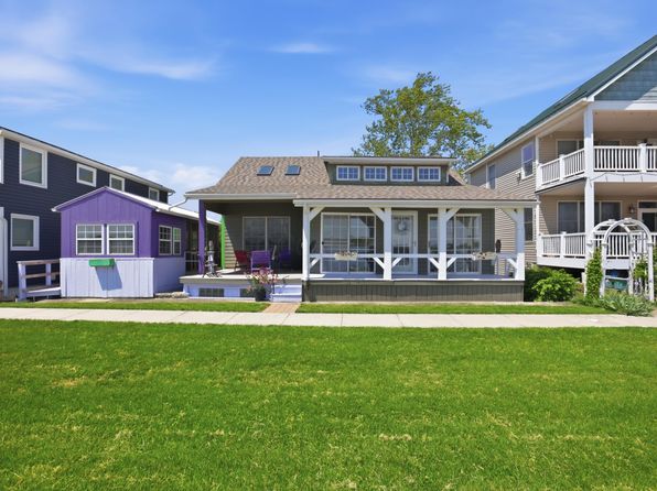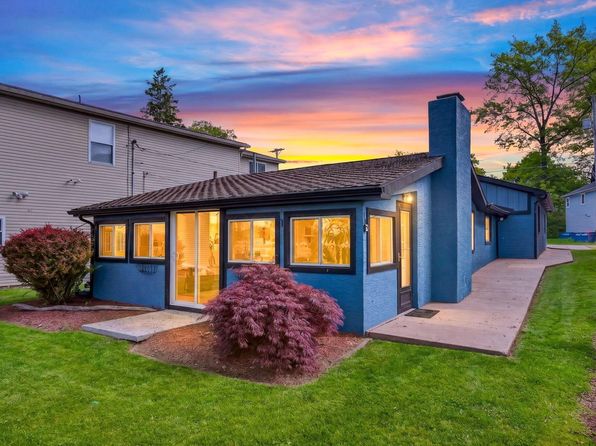
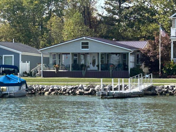
Crime & Safety Report for 3727 S Bank Rd NE, Millersport, OH 43046

Review crime and safety information near 3727 S Bank Rd NE, Millersport, OH 43046. HoodScore summarizes nearby reported incidents, registered sex offenders, and neighborhood safety indicators to help buyers and renters perform better location due diligence.

Generated At — 2026-07-26
Distance rings: 1 mi and 2 mi from the property.

PropertyIncidentsOffenders

Unlock the full safety report before making a decision about this neighborhood.

Full report contains 35 offenders within 5 miles and 404 crime incidents in the last 12 months.

35 Registered Sex Offenders within 5 miles Near 3727 S Bank Rd NE, Millersport, OH 43046

35 Registered Offenders Nearby
3 Rape
16 Child Involved
3 Assault
15 Other
Photo Name / Age / Tags Arrest / Conviction Address Distance Risk
Offender photo

SHAW, KEVIN JAMES

57 years old

Child Involved

12875 CUSTERS POINT RD NE THORNVILLE, OH, 43076
2.4 Medium
Offender photo

STUTZMAN, BRIAN PAUL

50 years old

Child Involved

500 RELIANCE DR HEBRON, OH, 43025
4.8 Medium
Offender photo

DAVIS, JASON WILLIAM

32 years old

Child Involved

10281 HEBRON RD BUCKEYE LAKE, OH, 43008
3.1 Medium
Offender photo

GIBSON, GEORGE BRIAN

55 years old

124 CANAL ST HEBRON, OH, 43025
4.1 Medium
Offender photo

MILLER, DEON JAMALL

33 years old

Child Involved

500 RELIANCE DR HEBRON, OH, 43025
4.8 Medium

404 Crime & Incidents in the Last 12 Months

404 Crime & Incidents by Severity
42 Severe
34 Medium
69 Low
259 Other
Crime Location (Approx.) Severity Description

Medical Emergency

07/16/2026 06:44 PM

Connie Cir, Buckeye Lake, OH 43008

Unknown

As discussed during the dispatch call, suspected medical call dispatched to a location near Connie Circle with unit 580 assigned to respond.

Fire

07/16/2026 05:57 PM

Ryan Brayden park, 140 W 2nd St, Buckeye Lake, OH 43008

MEDIUM

As discussed during the dispatch call, engine 921 is dispatched on a fire service run to a park area near 142nd Street West by Essex Lane and Neil Avenue.

Missing Person

07/16/2026 04:17 PM

Cattail Rd NE, Pleasantville, OH 43148

LOW

As discussed during the dispatch call, dispatchers requested the county sheriff’s office to conduct a welfare check on a very young child at a residence on Cattail Road in Pleasantville. An officer later reported contacting the child’s father, who appeared to be going home to pick up the child and meet with the officer near the nearby highway intersection.

Medical Emergency

07/16/2026 03:57 PM

Freeman Memorial Dr, Hebron, OH 43025

Unknown

As discussed during the dispatch call, medic 601 dispatched for a heat or cold exposure medical call at Harbor Hills Country Club near Freeman Memorial Drive Southeast.

Medical Emergency

07/16/2026 01:43 PM

Forest Ridge, Hebron, OH 43025

Unknown

As discussed during the dispatch call, responders dispatched for a medical call involving heat or cold exposure near Forest Ridge, close to Sunset Drive and Oakhurst Drive.

Nearby Schools

Schools within 2 miles of this property, nearest first.

SchoolDistance
Millersport Elementary School1.4 mi
Millersport Jr/Sr High School1.4 mi

Similar properties in Millersport

Other for-sale homes in Millersport within about 20% of this listing's price. Open a property for a HoodScore safety preview.

$649,000
2 bd | 2 ba | 2,124 sqft
12580 W Bank Dr NE
Millersport, OH, 43046
View Safety Report
$669,000
3 bd | 2 ba | 2,650 sqft
3503 Sellers Dr NE
Millersport, OH, 43046
View Safety Report
$629,900
3 bd | 2 ba | 1,648 sqft
12730 W Bank Dr NE
Millersport, OH, 43046
View Safety Report
$625,000
3 bd | 2 ba | 1,736 sqft
3273 Shepard Ave NE
Millersport, OH, 43046
View Safety Report
$689,900
3 bd | 2 ba | 1,456 sqft
2985 Greenlawn Ave NE
Millersport, OH, 43046
View Safety Report
$695,000
3 bd | 2 ba | 1,640 sqft
3371 Shepard Ave NE
Millersport, OH, 43046
View Safety Report

Frequently asked questions

Is 3727 S Bank Rd NE in a low-crime area?

The current report summarizes crime-related incidents within 5 miles during the last 12 months. HoodScore compares these records with relevant benchmarks, but no report can guarantee future safety.

Why are traffic and medical calls shown separately from crime?

Traffic, medical and fire records are public-safety incidents but are not necessarily crimes. HoodScore separates them to avoid overstating the crime count.

How often is this HoodScore report updated?

The report displays its generated date. Update frequency varies by source and is explained in the HoodScore methodology.

How is the HoodScore calculated?

HoodScore combines nearby crime and offender data into a neighborhood safety score. Visit https://www.hoodscore.com/hoodscore-calculator.html to see how the calculation works.