Crime & Safety Report for 2836 Banning Rd, Cincinnati, OH 45239

Review crime and safety information near 2836 Banning Rd, Cincinnati, OH 45239. HoodScore summarizes nearby reported incidents, registered sex offenders, and neighborhood safety indicators to help buyers and renters perform better location due diligence.

Generated At — 2026-07-25

Distance rings: 1 mi and 2 mi from the property.

PropertyIncidentsOffenders

Unlock the full safety report before making a decision about this neighborhood.

Full report contains 196 offenders within 5 miles and 10137 crime incidents in the last 12 months.

196 Registered Sex Offenders within 5 miles Near 2836 Banning Rd, Cincinnati, OH 45239

196 Registered Offenders Nearby
56 Rape
56 Child Involved
22 Assault
72 Other
Photo Name / Age / Tags Arrest / Conviction Address Distance Risk
Offender photo

FOLEY, MATTHEW J

40 years old

Rapist

AGGRAVATED CRIMINAL SEXUAL ABUSE/VICTIM 13-16 and AGGRAVATED CRIMINAL SEXUAL ABUSE/VICTIM 13-16

2024-10-25T06:34:59

1946 MISTYHILL DR CINCINNATI, OH, 00000
4.6 Medium
Offender photo

HUTTON, NICHOLAS ROY

39 years old

4055 SPRING GROVE AVE CINCINNATI, OH, 45223
4.3 Medium
Offender photo

MILES, JEREMY L

51 years old

Rapist

6457 GLENWAY AVE CINCINNATI, OH, 45211
4.9 Medium
Offender photo

WARD, CHRISTOPHER J

34 years old

Child Involved

5770 ESTE AVENUE CINCINNATI, OH, 45232
4.7 Medium
Offender photo

BROWN, NICKI ANN

36 years old

Child Involved

2596 WESTWOOD NORTHERN BLVD CINCINNATI, OH, 45211
4.3 Medium

10137 Crime & Incidents in the Last 12 Months

10137 Crime & Incidents by Severity
1219 Severe
1305 Medium
1811 Low
5802 Other
Crime Location (Approx.) Severity Description

Domestic Dispute

07/16/2026 10:46 PM

Walden Glen Cir, Cincinnati, OH 45231

Unknown

As discussed during the dispatch call, dispatch reports a possible domestic dispute near Walden Glen, involving an intoxicated grandmother who is reportedly refusing to open the door.

Traffic

07/16/2026 10:44 PM

Mitchell Ave, Cincinnati, OH 45232

LOW

As discussed during the dispatch call, officers conducted a traffic stop on Mitchell Avenue involving a black Chevrolet Cruze that appeared to pull into a gas station. The vehicle had an Ohio temporary tag, which was checked and reported as valid.

Fire

07/16/2026 10:32 PM

Winton Rd, Cincinnati, OH 45224

MEDIUM

As discussed during the dispatch call, fire crews conducted a precautionary check of a building on Winton Road after a possible fire report. Nothing was visible from the outside, and crews worked to gain access while requesting a key holder.

Medical Emergency

07/16/2026 10:26 PM

Westwood Northern Blvd, Cincinnati, OH 45225

Unknown

As discussed during the dispatch call, a medical emergency involving difficulty breathing and asthma occurred near Westwood Northern Boulevard, close to Baltimore Avenue and Sutter Avenue. Emergency units were dispatched.

Fire

07/16/2026 10:21 PM

Winton Rd, Cincinnati, OH 45224

MEDIUM

As discussed during the dispatch call, firefighters with Quint 79 are operating on a fireground channel for a possible fire-related incident at a building near Winton Road by West North Bend Road and Harborage Drive in Cincinnati.

Nearby Schools

Schools within 2 miles of this property, nearest first.

SchoolDistance
Struble Elementary School0.2 mi
White Oak Middle School0.9 mi
Mt. Airy School0.9 mi
Elevated Excellence Academy1.3 mi
Cincinnati Achievement Academy1.3 mi
North College Hill Trojan Way Learning Center1.5 mi
North College Hill High School1.7 mi
North College Hill Middle School1.7 mi
Colerain High School1.8 mi
College Hill Fundamental Academy2.0 mi

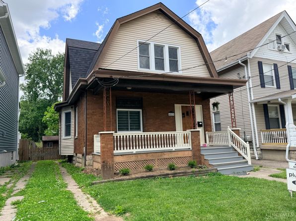
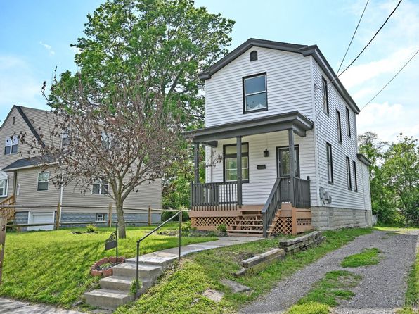
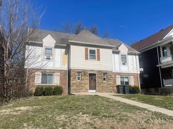
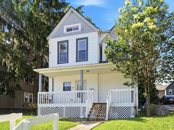
Similar properties in Cincinnati

Other for-sale homes in Cincinnati within about 20% of this listing's price. Open a property for a HoodScore safety preview.

Frequently asked questions

Is 2836 Banning Rd in a low-crime area?

The current report summarizes crime-related incidents within 5 miles during the last 12 months. HoodScore compares these records with relevant benchmarks, but no report can guarantee future safety.

Why are traffic and medical calls shown separately from crime?

Traffic, medical and fire records are public-safety incidents but are not necessarily crimes. HoodScore separates them to avoid overstating the crime count.

How often is this HoodScore report updated?

The report displays its generated date. Update frequency varies by source and is explained in the HoodScore methodology.

How is the HoodScore calculated?

HoodScore combines nearby crime and offender data into a neighborhood safety score. Visit https://www.hoodscore.com/hoodscore-calculator.html to see how the calculation works.