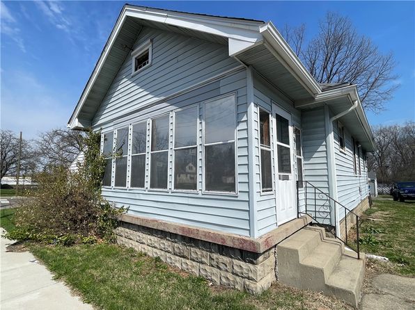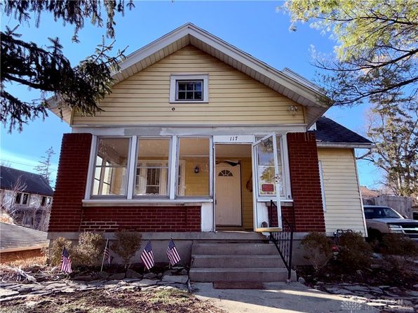
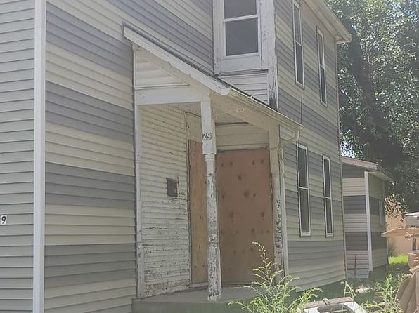
Crime & Safety Report for 27 N Harbine Ave, Dayton, OH 45403

Review crime and safety information near 27 N Harbine Ave, Dayton, OH 45403. HoodScore summarizes nearby reported incidents, registered sex offenders, and neighborhood safety indicators to help buyers and renters perform better location due diligence.

Generated At — 2026-07-25
Distance rings: 1 mi and 2 mi from the property.

PropertyIncidentsOffenders

Unlock the full safety report before making a decision about this neighborhood.

Full report contains 500 offenders within 5 miles and 7714 crime incidents in the last 12 months.

500 Registered Sex Offenders within 5 miles Near 27 N Harbine Ave, Dayton, OH 45403

500 Registered Offenders Nearby
147 Rape
136 Child Involved
58 Assault
197 Other
Photo Name / Age / Tags Arrest / Conviction Address Distance Risk
Offender photo

NEWTON, STEPHEN O

50 years old

Child Involved

3837 MERRIMAC AVE DAYTON, OH, 45405
4.1 Medium
Offender photo

DOERING, JOSEPH AARON

47 years old

Child Involved

2518 NORDIC RD DAYTON, OH, 45414
4.6 Medium
Offender photo

SHELDON, JOSHUA PAUL

42 years old

2153 DRYDEN ROAD DAYTON, OH, 45439
4.7 Medium
Offender photo

SIMPSON, JEFFERY SCOTT

55 years old

Rapist

167 HEID AVE DAYTON, OH, 45404
2.2 Medium
Offender photo

DOBSON, DONN DOUGLAS

61 years old

Rapist

1933 TROY ST DAYTON, OH, 45404
1.9 Medium

7714 Crime & Incidents in the Last 12 Months

7714 Crime & Incidents by Severity
1004 Severe
937 Medium
1260 Low
4513 Other
Crime Location (Approx.) Severity Description

Medical Emergency

07/16/2026 10:13 PM

Arcadia Blvd, Dayton, OH 45420

Unknown

As discussed during the dispatch call, emergency crews dispatched for a reported suicide attempt involving a female cutting herself with a razor near Arcadia (exact street type unclear from transcript).

Traffic

07/16/2026 10:09 PM

Harshman Rd, Dayton, OH

LOW

As discussed during the dispatch call, officers appear to be conducting a vehicle stop or search involving a white Chevrolet Malibu traveling from Harshman Road toward Springfield Street westbound in Dayton, Ohio.

Medical Emergency

07/16/2026 10:08 PM

I-75, Dayton, OH

Unknown

As discussed during the dispatch call, a welfare check was dispatched near I-75 in Dayton, with a possible related second call for a male fitting the same clothing description near eastbound US-35 at I-75/Ludlow.

Medical Emergency

07/16/2026 09:46 PM

W Fairview Ave, Dayton, OH 45405

Unknown

As discussed during the dispatch call, emergency services responded to a person down near West Fairview Avenue and cross streets Lytick Road and Emerson Avenue. Units Ladder 14 and Medic 14 were assigned with a task group of eight.

Medical Emergency

07/16/2026 09:35 PM

W 4th St, Dayton, OH 45402

Unknown

As discussed during the dispatch call, a medical call was reported for difficulty breathing near West 4th Street, close to South Main Street and Pressinger Lane. Medic 11 was dispatched.

Nearby Schools

Schools within 2 miles of this property, nearest first.

SchoolDistance
Horizon Science Academy Dayton Downtown0.4 mi
Wright Brothers Middle School0.7 mi
Liberty High School1.3 mi
Kemp Elementary School1.3 mi
Ruskin Elementary School1.4 mi
Stivers School For The Arts1.4 mi
Virginia Stevenson Elementary School1.5 mi
Mad River Early Childhood Center1.5 mi
Kettering City Schools MCESC Remote Learning Center1.5 mi
Vandalia-Butler Online Learning School1.5 mi
Jefferson Township Local School District1.5 mi
Mad River Local Schools Remote Learning Center1.5 mi
Northmont Online Academy1.5 mi
Cleveland Elementary School1.5 mi
Dayton SMART Elementary School1.7 mi

Similar properties in Dayton

Other for-sale homes in Dayton within about 20% of this listing's price. Open a property for a HoodScore safety preview.

Frequently asked questions

Is 27 N Harbine Ave in a low-crime area?

The current report summarizes crime-related incidents within 5 miles during the last 12 months. HoodScore compares these records with relevant benchmarks, but no report can guarantee future safety.

Why are traffic and medical calls shown separately from crime?

Traffic, medical and fire records are public-safety incidents but are not necessarily crimes. HoodScore separates them to avoid overstating the crime count.

How often is this HoodScore report updated?

The report displays its generated date. Update frequency varies by source and is explained in the HoodScore methodology.

How is the HoodScore calculated?

HoodScore combines nearby crime and offender data into a neighborhood safety score. Visit https://www.hoodscore.com/hoodscore-calculator.html to see how the calculation works.