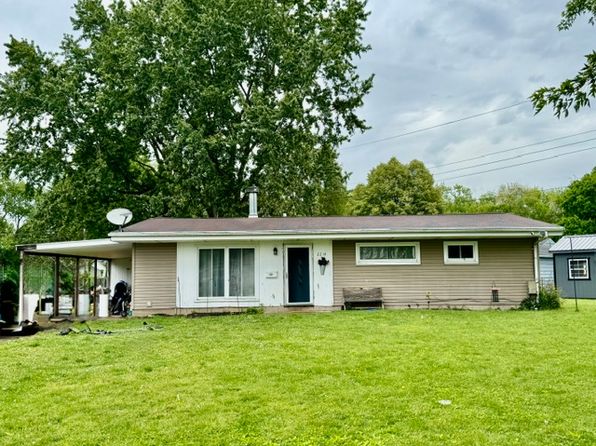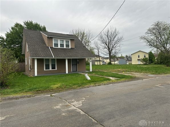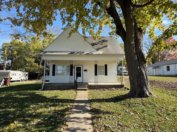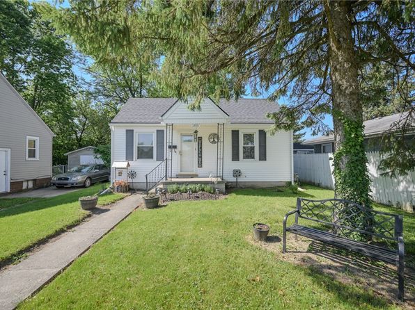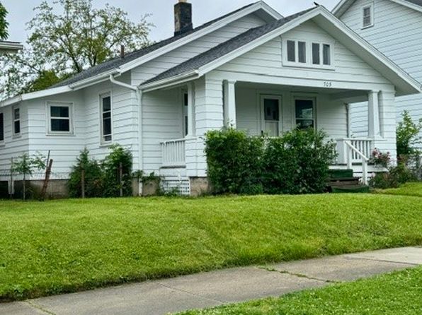


Crime & Safety Report for 209 W Liberty St, Springfield, OH 45506

Review crime and safety information near 209 W Liberty St, Springfield, OH 45506. HoodScore summarizes nearby reported incidents, registered sex offenders, and neighborhood safety indicators to help buyers and renters perform better location due diligence.

Generated At — 2026-07-25

Distance rings: 1 mi and 2 mi from the property.

PropertyIncidentsOffenders

Unlock the full safety report before making a decision about this neighborhood.

Full report contains 163 offenders within 5 miles and 477 crime incidents in the last 12 months.

163 Registered Sex Offenders within 5 miles Near 209 W Liberty St, Springfield, OH 45506

163 Registered Offenders Nearby
35 Rape
53 Child Involved
19 Assault
60 Other
Photo Name / Age / Tags Arrest / Conviction Address Distance Risk
Offender photo

FORTMAN, THOMAS JOSEPH

53 years old

Child Involved

343 W LEFFEL LN SPRINGFIELD, OH, 45506
1.4 Medium
Offender photo

ADKINS, JOSHUA

26 years old

1399 N BURNETT RD SPRINGFIELD, OH, 45503
2.8 Medium
Offender photo

HENNIE, ROBERT J.

70 years old

Child Involved

355 MEADOW LN SPRINGFIELD, OH, 45505
3.2 Medium
Offender photo

BRADY, ALISABETH ASHLEY

37 years old

2129 S LIMESTONE ST SPRINGFIELD, OH, 45505
1.2 Medium
Offender photo

SMITH, KOLE STEVEN

27 years old

Child Involved

1125 N BECHTLE AVE SPRINGFIELD, OH, 45504
2.1 Medium

477 Crime & Incidents in the Last 12 Months

477 Crime & Incidents by Severity
45 Severe
43 Medium
81 Low
308 Other
Crime Location (Approx.) Severity Description

Medical Emergency

07/16/2026 10:15 PM

Dayton Springfield Rd, Springfield, OH 45502

Unknown

As discussed during the dispatch call, emergency responders were dispatched near Dayton Springfield Road for a 68-year-old woman with chest pain.

Fire

07/16/2026 08:13 PM

Parker St, Springfield, OH 45503

MEDIUM

As discussed during the dispatch call, fire crews and a medical squad were dispatched to a home on Parker Drive for a possible gas leak after a woman reported a strong odor and feeling unwell. Everyone was reported to be out of the residence.

Domestic Dispute

07/16/2026 06:50 PM

Pheasant Run c, Springfield, OH 45503

Unknown

As discussed during the dispatch call, officers were dispatched to a reported domestic dispute at an apartment on Pheasant Run Drive in Springfield, where the people involved were separated and a man had reportedly attempted, but failed, to strike the complainant before leaving.

Medical Emergency

07/16/2026 02:01 PM

N Bechtle Ave, Springfield, OH 45504

Unknown

As discussed during the dispatch call, responders were called for a female with a shoulder injury from the previous day and possible collarbone involvement near the west end of the parking lot next to Huntington Bank.

Medical Emergency

07/16/2026 11:14 AM

E National Rd, Springfield, OH 45505

Unknown

As discussed during the dispatch call, a 39-year-old man is reported having difficulty breathing and cramping in his legs and chest near East National Road at Marathon Silver Swan. The incident may involve mutual aid with Springfield shift.

Nearby Schools

Schools within 2 miles of this property, nearest first.

SchoolDistance
Springfield Sports Academy0.3 mi
Global Impact STEM Academy0.4 mi
Fulton Elementary School0.5 mi
Hayward Middle School0.8 mi
Springfield City Online0.8 mi
SPRINGFIELD SCHOOL OF INNOVATION0.8 mi
Perrin Woods Elementary School0.9 mi
Lincoln Elementary School1.0 mi
Clark Early Learning Center1.2 mi
Springfield Preparatory and Fitness Academy1.3 mi
Kenwood Elementary1.5 mi
Springfield-Clark County1.5 mi
Cliff Park High School1.5 mi
Snyder Park Elementary School1.6 mi
Lagonda Elementary School2.0 mi

Similar properties in Springfield

Other for-sale homes in Springfield within about 20% of this listing's price. Open a property for a HoodScore safety preview.

$110,000
3 bd | 1 ba | 1,350 sqft
240 E McCreight Ave
Springfield, OH, 45503
View Safety Report
$119,000
5 bd | 2 ba | 1,952 sqft
227 E Northern Ave
Springfield, OH, 45503
View Safety Report

Frequently asked questions

Is 209 W Liberty St in a low-crime area?

The current report summarizes crime-related incidents within 5 miles during the last 12 months. HoodScore compares these records with relevant benchmarks, but no report can guarantee future safety.

Why are traffic and medical calls shown separately from crime?

Traffic, medical and fire records are public-safety incidents but are not necessarily crimes. HoodScore separates them to avoid overstating the crime count.

How often is this HoodScore report updated?

The report displays its generated date. Update frequency varies by source and is explained in the HoodScore methodology.

How is the HoodScore calculated?

HoodScore combines nearby crime and offender data into a neighborhood safety score. Visit https://www.hoodscore.com/hoodscore-calculator.html to see how the calculation works.