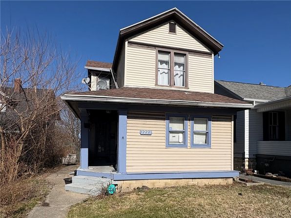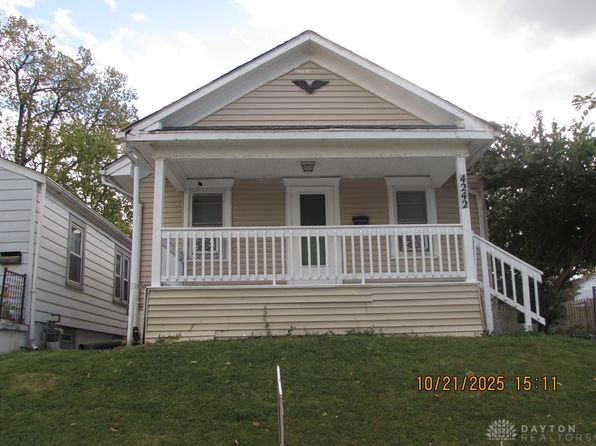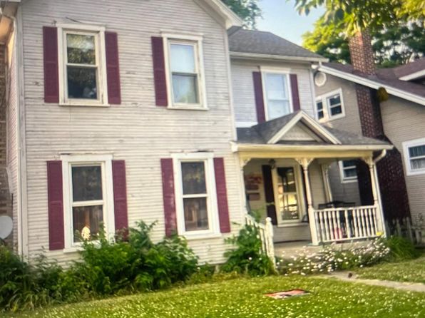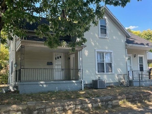
Crime & Safety Report for 2009 Hazel Ave, Dayton, OH 45420

Review crime and safety information near 2009 Hazel Ave, Dayton, OH 45420. HoodScore summarizes nearby reported incidents, registered sex offenders, and neighborhood safety indicators to help buyers and renters perform better location due diligence.

Generated At — 2026-07-25

Distance rings: 1 mi and 2 mi from the property.

PropertyIncidentsOffenders

Unlock the full safety report before making a decision about this neighborhood.

Full report contains 351 offenders within 5 miles and 6750 crime incidents in the last 12 months.

351 Registered Sex Offenders within 5 miles Near 2009 Hazel Ave, Dayton, OH 45420

351 Registered Offenders Nearby
84 Rape
109 Child Involved
35 Assault
141 Other
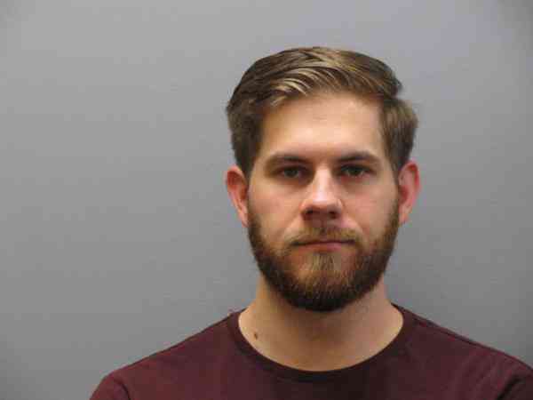
Photo Name / Age / Tags Arrest / Conviction Address Distance Risk
Offender photo

SHELDON, JOSHUA PAUL

42 years old

2153 DRYDEN ROAD DAYTON, OH, 45439
4.4 Medium
Offender photo

ELGERSMA, DAVID F

28 years old

3141 DAYTON XENIA RD BEAVERCREEK, OH, 45434
4.5 Medium
Offender photo

BROOKINS, ARTHUR EUGENE

63 years old

Rapist

832 S LUDLOW ST DAYTON, OH, 45402
3.6 Medium
Offender photo

CHAMPION, OSCAR

59 years old

Rapist

HOMELESS-W 3RD ST AND LUDLOW ST DAYTON, OH, 45402
4.1 Medium
Offender photo

FULTZ, KEVIN

56 years old

Violent

329 WASHINGTON ST DAYTON, OH, 45402
3.9 Medium

6750 Crime & Incidents in the Last 12 Months

6750 Crime & Incidents by Severity
796 Severe
766 Medium
1089 Low
4099 Other
Crime Location (Approx.) Severity Description

Medical Emergency

07/16/2026 10:13 PM

Arcadia Blvd, Dayton, OH 45420

Unknown

As discussed during the dispatch call, emergency crews dispatched for a reported suicide attempt involving a female cutting herself with a razor near Arcadia (exact street type unclear from transcript).

Medical Emergency

07/16/2026 10:08 PM

I-75, Dayton, OH

Unknown

As discussed during the dispatch call, a welfare check was dispatched near I-75 in Dayton, with a possible related second call for a male fitting the same clothing description near eastbound US-35 at I-75/Ludlow.

Medical Emergency

07/16/2026 09:35 PM

W 4th St, Dayton, OH 45402

Unknown

As discussed during the dispatch call, a medical call was reported for difficulty breathing near West 4th Street, close to South Main Street and Pressinger Lane. Medic 11 was dispatched.

Fire

07/16/2026 09:00 PM

N Fairfield Rd, Beavercreek, OH 45432

MEDIUM

As discussed during the dispatch call, fire units are dispatched to a reported fire alarm at a Walmart near North Fairfield Road and nearby cross streets.

Medical Emergency

07/16/2026 08:39 PM

Grayson Ln, Beavercreek, OH 45430

Unknown

As discussed during the dispatch call, officers were sent to a home near Grayson Lane for a possible emotionally disturbed person after a male caller repeatedly phoned 911, rambling and not making sense, and asking to contact a deputy clerk.

Nearby Schools

Schools within 2 miles of this property, nearest first.

SchoolDistance
Greenmont Elementary School0.4 mi
Montgomery Preparatory Academy0.6 mi
Beavertown Elementary School0.8 mi
Dayton Regional STEM School1.0 mi
Dayton Athletic Vocational Academy1.2 mi
Horace Mann Elementary School1.2 mi
Orchard Park Elementary School1.6 mi
Belmont High School1.7 mi
Smith Elementary School1.8 mi
Oakwood High School1.8 mi
Eastmont Elementary School1.8 mi
Oakwood Junior High School1.9 mi
Cleveland Elementary School1.9 mi

Similar properties in Dayton

Other for-sale homes in Dayton within about 20% of this listing's price. Open a property for a HoodScore safety preview.

$109,900
3 bd | 2 ba | 1,200 sqft
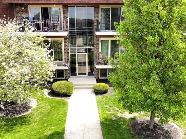
1612 Mars Hill Dr APT F
Dayton, OH, 45449
View Safety Report

Frequently asked questions

Is 2009 Hazel Ave in a low-crime area?

The current report summarizes crime-related incidents within 5 miles during the last 12 months. HoodScore compares these records with relevant benchmarks, but no report can guarantee future safety.

Why are traffic and medical calls shown separately from crime?

Traffic, medical and fire records are public-safety incidents but are not necessarily crimes. HoodScore separates them to avoid overstating the crime count.

How often is this HoodScore report updated?

The report displays its generated date. Update frequency varies by source and is explained in the HoodScore methodology.

How is the HoodScore calculated?

HoodScore combines nearby crime and offender data into a neighborhood safety score. Visit https://www.hoodscore.com/hoodscore-calculator.html to see how the calculation works.