Crime & Safety Report for 0 State Route 7, Proctorville, OH 45669

Review crime and safety information near 0 State Route 7, Proctorville, OH 45669. HoodScore summarizes nearby reported incidents, registered sex offenders, and neighborhood safety indicators to help buyers and renters perform better location due diligence.

Generated At — 2026-07-26

Distance rings: 1 mi and 2 mi from the property.

PropertyIncidentsOffenders

Unlock the full safety report before making a decision about this neighborhood.

Full report contains 75 offenders within 5 miles and 1894 crime incidents in the last 12 months.

75 Registered Sex Offenders within 5 miles Near 0 State Route 7, Proctorville, OH 45669

75 Registered Offenders Nearby
5 Rape
16 Child Involved
17 Assault
41 Other
Photo Name / Age / Tags Arrest / Conviction Address Distance Risk
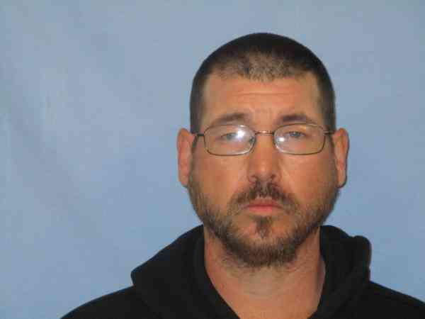
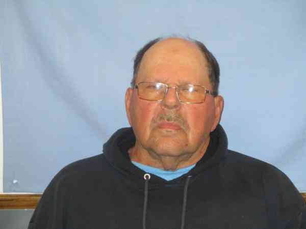
Offender photo

BARBOUR, DAVID R

41 years old

100 FRONT ST PROCTORVILLE, OH, 45669
2.6 Medium
Offender photo

BLACKBURN, NOAH EDWARD

31 years old

14:80 - Carnal knowledge of a juvenile

2024-12-17T11:36:19

8065 107 PROCTORVILLE, OH, 45669
2.5 Medium
Offender photo

DANIELS, LOUIS EDWARD

72 years old

Violent

61-8B-5 - SEXUAL ASSAULT IN THE THIRD DEGREE Sexual Motivation

2024-12-17T11:36:19

419 COUNTY ROAD 121 PROCTORVILLE, OH, 45669
4.8 Medium
Offender photo

HOWARD, PHILLIP

55 years old

2907.05 - Gross Sexual Imposition Sexual Motivation

2024-12-17T11:36:19

317 FERRY ST PROCTORVILLE, OH, 45669
2.4 Medium
Offender photo

SCARBERRY, ANTHONY W

52 years old

Rapist

130.67 - Aggravated sexual abuse in the second degree

2024-12-17T11:36:19

5281 COUNTY ROAD 12 PROCTORVILLE, OH, 45669
3.9 Medium

1894 Crime & Incidents in the Last 12 Months

1894 Crime & Incidents by Severity
176 Severe
240 Medium
312 Low
1166 Other
Crime Location (Approx.) Severity Description

Fire

07/16/2026 09:46 PM

25th St & 10th Ave, Huntington, WV 25703

MEDIUM

As discussed during the dispatch call, units discuss a possible fire or smoke condition near the intersection of 25th Street and 10th Avenue. One caller reports new smoke in the area, while another unit on scene does not see smoke or hear anyone calling for help.

Administrative Check

07/16/2026 09:23 PM

25th St, Huntington, WV 25705

Unknown

As discussed during the dispatch call, officers conducted an administrative check on a parked vehicle near the 1200 block of 25th Street. The vehicle, a Toyota RAV4 with an expired registration, was confirmed not stolen, and officers waited for a deputy to arrive.

Medical Emergency

07/16/2026 09:17 PM

1st Ave, Huntington, WV 25702

Unknown

As discussed during the dispatch call, a male patient fell and complains of neck and left arm pain near 1st Ave in Huntington. The incident may involve care at a local medical center.

Other Non-Crime Event

07/16/2026 08:58 PM

Rotary Park Dr, Huntington, WV 25705

Unknown

As discussed during the dispatch call, radio traffic indicates a man reported being locked inside Rotary Park in Huntington after finding all gates closed. Officers discussed how to get access, including whether someone had a key or if the fire department might assist, and one unit offered to respond to check the situation.

Theft Report

07/16/2026 08:43 PM

5th Ave, Huntington, WV 25703

Unknown

As discussed during the dispatch call, officers responded to a reported shoplifting at a Sheetz on Fifth Avenue, where a woman allegedly left with two cases of soda on the back of a motorcycle and was last seen heading toward a nearby village. A license plate number was reportedly obtained for the motorcycle and linked to an address on Fourth Street.

Nearby Schools

Schools within 2 miles of this property, nearest first.

SchoolDistance
Fairland High School1.3 mi
Fairland West Elementary School1.5 mi
Fairland Middle School1.7 mi

Frequently asked questions

Is 0 State Route 7 in a low-crime area?

The current report summarizes crime-related incidents within 5 miles during the last 12 months. HoodScore compares these records with relevant benchmarks, but no report can guarantee future safety.

Why are traffic and medical calls shown separately from crime?

Traffic, medical and fire records are public-safety incidents but are not necessarily crimes. HoodScore separates them to avoid overstating the crime count.

How often is this HoodScore report updated?

The report displays its generated date. Update frequency varies by source and is explained in the HoodScore methodology.

How is the HoodScore calculated?

HoodScore combines nearby crime and offender data into a neighborhood safety score. Visit https://www.hoodscore.com/hoodscore-calculator.html to see how the calculation works.