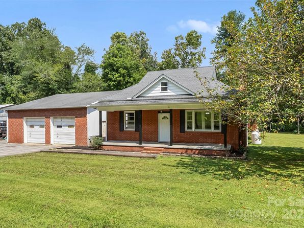

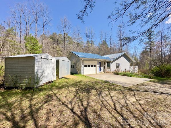
Crime & Safety Report for 592 Liberty Church Rd, Marion, NC 28752

Review crime and safety information near 592 Liberty Church Rd, Marion, NC 28752. HoodScore summarizes nearby reported incidents, registered sex offenders, and neighborhood safety indicators to help buyers and renters perform better location due diligence.

Generated At — 2026-07-26
Distance rings: 1 mi and 2 mi from the property.

PropertyIncidentsOffenders

Unlock the full safety report before making a decision about this neighborhood.

Full report contains 38 offenders within 5 miles and 12 crime incidents in the last 12 months.

38 Registered Sex Offenders within 5 miles Near 592 Liberty Church Rd, Marion, NC 28752

38 Registered Offenders Nearby
1 Rape
23 Child Involved
0 Assault
15 Other
Photo Name / Age / Tags Arrest / Conviction Address Distance Risk
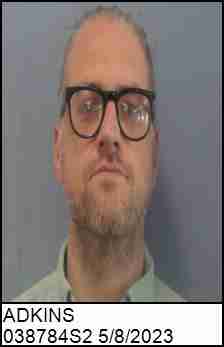
Offender photo

ADKINS, JUSTIN MATTHEW

39 years old

Child Involved

SEX EXPLOIT MINOR 2ND DEGREE

2024-12-17T08:38:16

593 SPAULDING RD MARION, NC, 28752
4.1 Medium
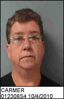
Offender photo

CARMER, BONNIE SUE

67 years old

SEX OFFENSE 2ND DEGREE

2024-12-17T08:38:16

52 JOHNSON HOLLAR DR WEST MARION, NC, 28752
4.4 Medium
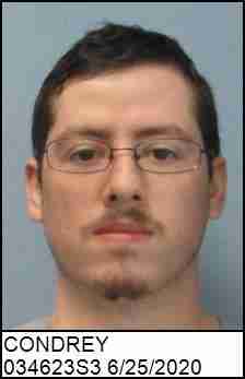
Offender photo

CONDREY, ADAM WALKER

29 years old

Child Involved

SEX EXPLOIT MINOR 2ND DEGREE

2024-12-17T08:38:16

SEX EXPLOIT MINOR 2ND DEGREE

2024-12-17T08:38:16

233 VETERANS DR MARION, NC, 28752
4.3 Medium
Offender photo

CUNNINGHAM, ROBERT EVANS JR

64 years old

1297 CLEAR CREEK ROAD MARION, NC, 28752
0.9 High
Offender photo

DEPINA, RICHARD ANTHONY JR

40 years old

750 WEST PAYNE ROAD MARION, NC, 28752
4.4 Medium

12 Crime & Incidents in the Last 12 Months

12 Crime & Incidents by Severity
1 Medium
9 Low
2 Other
Crime Location (Approx.) Severity Description

Suspicious Activity

07/14/2026 01:35 PM

W Mc Dowell Jr High School Rd, Marion, NC 28752

MEDIUM

As discussed during the dispatch call, officers responded to a report of a white van parked along US 70 near a junior high school, based on information called in by a third party.

Traffic

07/10/2026 02:38 PM

US-221 & US-70, Marion, NC 28752

LOW

As discussed during the dispatch call, officers are responding to a possible pedestrian hazard on US 221 near US 70 in the McDowell area, where a man without a shirt was reportedly standing in traffic, dancing, and then walking northbound near the first bridge.

Traffic

07/04/2026 05:27 PM

Mountain St, Marion, NC 28752

LOW

As discussed during the dispatch call, officers responded to a reported injury crash involving a motorcycle on Bain Mountain Road near the Macedonia Church Loop area, with a tow truck requested.

Traffic

06/28/2026 12:25 PM

US-221, Marion, NC 28752

LOW

As discussed during the dispatch call, radio reports describe a possible motor vehicle crash on the 4000 block of US 221 North near Newton McDowell, south of Tom's Creek Road, involving a Chevrolet SUV that apparently struck a barrier and was blocking the roadway.

Traffic

06/24/2026 10:48 AM

Roby Conley Rd, Marion, NC 28752

LOW

As discussed during the dispatch call, dispatchers and units discussed a possible traffic incident involving a tractor-trailer or tub trailer off the roadway near Roby Conley Road in Marion. The vehicle later appeared to be moving again and the situation was uncertain.

Nearby Schools

Schools within 2 miles of this property, nearest first.

SchoolDistance
Pleasant Gardens Elementary School1.6 mi

Similar properties in Marion

Other for-sale homes in Marion within about 20% of this listing's price. Open a property for a HoodScore safety preview.

Frequently asked questions

Is 592 Liberty Church Rd in a low-crime area?

The current report summarizes crime-related incidents within 5 miles during the last 12 months. HoodScore compares these records with relevant benchmarks, but no report can guarantee future safety.

Why are traffic and medical calls shown separately from crime?

Traffic, medical and fire records are public-safety incidents but are not necessarily crimes. HoodScore separates them to avoid overstating the crime count.

How often is this HoodScore report updated?

The report displays its generated date. Update frequency varies by source and is explained in the HoodScore methodology.

How is the HoodScore calculated?

HoodScore combines nearby crime and offender data into a neighborhood safety score. Visit https://www.hoodscore.com/hoodscore-calculator.html to see how the calculation works.