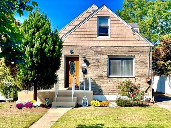



Crime & Safety Report for 9 Aster Avenue, Merrick, NY 11566

Review crime and safety information near 9 Aster Avenue, Merrick, NY 11566. HoodScore summarizes nearby reported incidents, registered sex offenders, and neighborhood safety indicators to help buyers and renters perform better location due diligence.

Generated At — 2026-07-25
Distance rings: 1 mi and 2 mi from the property.

PropertyIncidentsOffenders

Unlock the full safety report before making a decision about this neighborhood.

Full report contains 120 offenders within 5 miles and 2025 crime incidents in the last 12 months.

120 Registered Sex Offenders within 5 miles Near 9 Aster Avenue, Merrick, NY 11566

120 Registered Offenders Nearby
33 Rape
33 Child Involved
3 Assault
56 Other
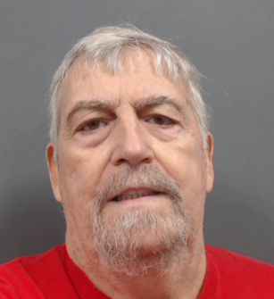
Photo Name / Age / Tags Arrest / Conviction Address Distance Risk
Offender photo

BAKER, RONALD EDWARD

73 years old

Child Involved

LAST REPORTED ADDRESS - OUT OF STATE WESTBURY, NY, 11590
4.7 Medium
Offender photo

CARLOS SARAVIA

years old

Child Involved

2 MERRICK RD Freeport, NY, 11520
2.8 Medium
Offender photo

ALEX CAJES

years old

GARDEN CITY Garden City, NY
4.5 Medium
Offender photo

JOSE RODRIGUEZ

years old

HOMELESS HEMPSTEAD
3.1 Medium
Offender photo

DANIEL VALENZUELA

years old

Child Involved

300 OAK STREET UNIONDALE, New York 11553 TypeEMP (Primary)
3.3 Medium

2025 Crime & Incidents in the Last 12 Months

2025 Crime & Incidents by Severity
536 Severe
362 Medium
179 Low
948 Other
Crime Location (Approx.) Severity Description

Fire

07/16/2026 08:44 PM

Sunrise Hwy, Rockville Centre, NY 11570

MEDIUM

As discussed during the dispatch call, fire units responded to a commercial automatic alarm at a fast-food restaurant on Sunrise Highway between Chestnut Street and State Street in Rockville Centre. Some responding units were later held or cancelled after the situation was assessed.

Fire

07/16/2026 08:42 PM

Sunrise Hwy, Rockville Centre, NY 11570

MEDIUM

As discussed during the dispatch call, fire units were dispatched to a reported commercial automatic alarm at a fast-food restaurant on Sunrise Highway, with some units instructed to stand by while limited companies handled the call.

Break-In

07/16/2026 07:38 PM

Church St, Freeport, NY 11520

Unknown

As discussed during the dispatch call, responders gained entry at a guidance center on Church Street, then re-secured the building but apparently set off the burglar alarm and requested police notification.

Medical Emergency

07/16/2026 07:32 PM

May Ave, Westbury, NY 11590

Unknown

As discussed during the dispatch call, a middle-aged male is vomiting after recent lung surgery near May Avenue between Sylvan Lane and Nursery Lane. Patient removal is in progress with Medic 122 on scene in Irving.

Fire

07/16/2026 07:24 PM

Church St, Freeport, NY 11520

MEDIUM

As discussed during the dispatch call, units were dispatched to a reported automatic fire alarm at a child guidance facility near Church Street.

Nearby Schools

Schools within 2 miles of this property, nearest first.

SchoolDistance
HAROLD D FAYETTE SCHOOL0.3 mi
OLD MILL ROAD SCHOOL0.5 mi
JOHN G DINKELMEYER SCHOOL0.9 mi
ROOSEVELT MIDDLE SCHOOL0.9 mi
WOODLAND MIDDLE SCHOOL0.9 mi
ROOSEVELT HIGH SCHOOL1.0 mi
CAMP AVENUE SCHOOL1.0 mi
PARK AVENUE SCHOOL1.0 mi
SMITH STREET ELEMENTARY SCHOOL1.1 mi
TURTLE HOOK MIDDLE SCHOOL1.1 mi
SANFORD H CALHOUN HIGH SCHOOL1.2 mi
BARNUM WOODS SCHOOL1.3 mi
UNIONDALE HIGH SCHOOL1.4 mi
NEWBRIDGE ROAD SCHOOL1.4 mi
WALNUT STREET ELEMENTARY SCHOOL1.4 mi

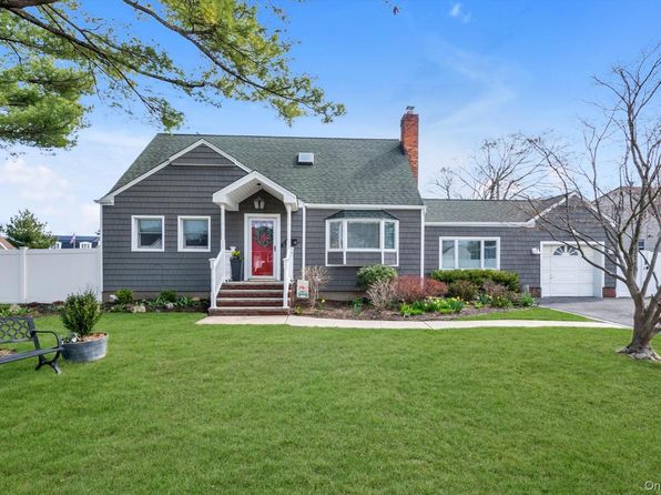
Similar properties in Uniondale

Other for-sale homes in Uniondale within about 20% of this listing's price. Open a property for a HoodScore safety preview.

$774,999
4 bd | 2 ba | 2,795 sqft
320 S Bayview Avenue
Uniondale, NY, 11556
View Safety Report
$799,000
4 bd | 2 ba | 1,302 sqft
207 Wellington Road S
Uniondale, NY, 11556
View Safety Report

Frequently asked questions

Is 9 Aster Avenue in a low-crime area?

The current report summarizes crime-related incidents within 5 miles during the last 12 months. HoodScore compares these records with relevant benchmarks, but no report can guarantee future safety.

Why are traffic and medical calls shown separately from crime?

Traffic, medical and fire records are public-safety incidents but are not necessarily crimes. HoodScore separates them to avoid overstating the crime count.

How often is this HoodScore report updated?

The report displays its generated date. Update frequency varies by source and is explained in the HoodScore methodology.

How is the HoodScore calculated?

HoodScore combines nearby crime and offender data into a neighborhood safety score. Visit https://www.hoodscore.com/hoodscore-calculator.html to see how the calculation works.