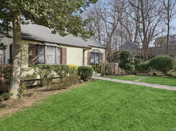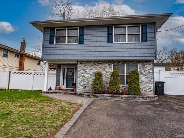


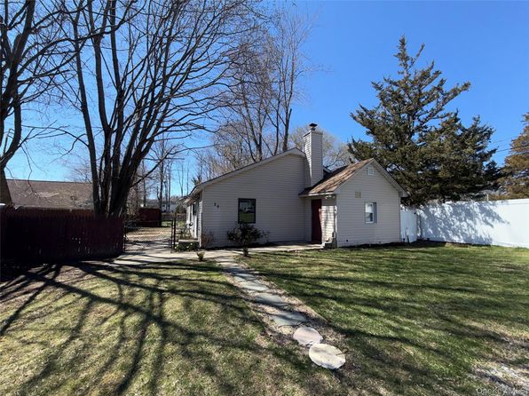
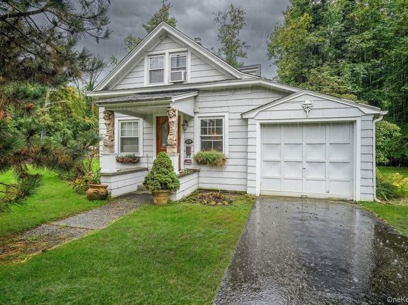
Crime & Safety Report for 427 Park Avenue, Huntington, NY 11743

Review crime and safety information near 427 Park Avenue, Huntington, NY 11743. HoodScore summarizes nearby reported incidents, registered sex offenders, and neighborhood safety indicators to help buyers and renters perform better location due diligence.

Generated At — 2026-07-26
Distance rings: 1 mi and 2 mi from the property.

PropertyIncidentsOffenders

Unlock the full safety report before making a decision about this neighborhood.

Full report contains 19 offenders within 5 miles and 3064 crime incidents in the last 12 months.

19 Registered Sex Offenders within 5 miles Near 427 Park Avenue, Huntington, NY 11743

19 Registered Offenders Nearby
6 Rape
3 Child Involved
0 Assault
10 Other
Photo Name / Age / Tags Arrest / Conviction Address Distance Risk
Offender photo

RANDY S GREEN

years old

Rapist

378 SYOSSET-WOODBURY RD SAGAMORE ROOM 257-A WOODBURY, New York 11797
4.6 Medium
Offender photo

DYMOL MILLS

years old

130.65 - Attempted Sexual Abuse-1st Degree

2024-10-03T12:42:28

743 PARK AVE Suffolk, NY
1.3 Medium
Offender photo

CHRISTOPHER W DOSE

years old

Rapist

130.30 - Rape-2nd Degree

2024-10-03T12:42:28

330 NY AVENUE Huntington, NY, 11743
0.7 High
Offender photo

MARVIN AGUILAR GARCIA

years old

130.65 - Sexual Abuse 1st Degree:Contact By Forcible Compulsion

2024-10-03T12:42:28

65 CALDWELL ST Huntington Station, NY, 11746
2 Medium
Offender photo

JOUBERT J CANTAVE

years old

130.60 - Sexual Abuse-2nd Degree

2024-10-03T12:42:28

179 HILLS RD Huntington Station, NY, 11746
2.9 Medium

3064 Crime & Incidents in the Last 12 Months

3064 Crime & Incidents by Severity
384 Severe
426 Medium
715 Low
1539 Other
Crime Location (Approx.) Severity Description

Fire

07/16/2026 08:53 PM

Bay Rd, Huntington, NY 11743

MEDIUM

As discussed during the dispatch call, dispatchers reported a possible fire at a residence near Bay Road Drive East, with smoke or burning apparently coming from the walls. A unit was assigned as the primary responder.

Assault Report

07/16/2026 08:35 PM

Linden St, Huntington, NY 11743

Unknown

As discussed during the dispatch call, officers were dispatched to a reported aggravated harassment complaint involving an ongoing dispute between neighbors near Linden Street in Greenlawn. The caller was described as uncooperative and claimed to have video of a female neighbor harassing him. Dispatch notes mentioned a possible history of the caller yelling racial slurs at call takers and threatening to record police for an attorney.

Theft Report

07/16/2026 08:14 PM

New York Ave, Huntington Station, NY 11746

Unknown

As discussed during the dispatch call, officers responded to a possible shoplifting incident at a store in a shopping plaza, where merchandise was reportedly taken but later recovered.

Medical Emergency

07/16/2026 08:12 PM

Donald Ln, Huntington, NY 11743

Unknown

As discussed during the dispatch call, emergency medical services respond to an adult female possibly having a stroke near Donald Lane North.

Theft Report

07/16/2026 08:11 PM

New York Ave, Huntington Station, NY 11746

Unknown

As discussed during the dispatch call, officers responded to a reported attempted theft of merchandise at a shopping plaza, where the items were recovered.

Nearby Schools

Schools within 2 miles of this property, nearest first.

SchoolDistance
WOODHULL INTERMEDIATE SCHOOL0.3 mi
J TAYLOR FINLEY MIDDLE SCHOOL0.6 mi
JACK ABRAMS STEM MAGNET SCHOOL1.3 mi
HUNTINGTON HIGH SCHOOL1.3 mi
FLOWER HILL SCHOOL1.5 mi
WASHINGTON DRIVE PRIMARY SCHOOL1.6 mi
OLDFIELD MIDDLE SCHOOL1.7 mi
SOUTHDOWN SCHOOL1.7 mi
WASHINGTON SCHOOL1.9 mi

Similar properties in Huntington

Other for-sale homes in Huntington within about 20% of this listing's price. Open a property for a HoodScore safety preview.

$495,900
1 bd | 1 ba | 848 sqft
20 Gibson Avenue #C-1
Huntington, NY, 11743
View Safety Report
$699,000
5 bd | 2 ba | 1,400 sqft
27 Stuyvesant Street
Huntington, NY, 11743
View Safety Report

Frequently asked questions

Is 427 Park Avenue in a low-crime area?

The current report summarizes crime-related incidents within 5 miles during the last 12 months. HoodScore compares these records with relevant benchmarks, but no report can guarantee future safety.

Why are traffic and medical calls shown separately from crime?

Traffic, medical and fire records are public-safety incidents but are not necessarily crimes. HoodScore separates them to avoid overstating the crime count.

How often is this HoodScore report updated?

The report displays its generated date. Update frequency varies by source and is explained in the HoodScore methodology.

How is the HoodScore calculated?

HoodScore combines nearby crime and offender data into a neighborhood safety score. Visit https://www.hoodscore.com/hoodscore-calculator.html to see how the calculation works.