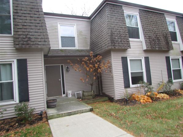
Crime & Safety Report for 321 Titusville Road #E91, Poughkeepsie, NY 12603

Review crime and safety information near 321 Titusville Road #E91, Poughkeepsie, NY 12603. HoodScore summarizes nearby reported incidents, registered sex offenders, and neighborhood safety indicators to help buyers and renters perform better location due diligence.

Generated At — 2026-07-26

Distance rings: 1 mi and 2 mi from the property.

PropertyIncidentsOffenders

Unlock the full safety report before making a decision about this neighborhood.

Full report contains 55 offenders within 5 miles and 1109 crime incidents in the last 12 months.

55 Registered Sex Offenders within 5 miles Near 321 Titusville Road #E91, Poughkeepsie, NY 12603

55 Registered Offenders Nearby
14 Rape
16 Child Involved
1 Assault
29 Other
Photo Name / Age / Tags Arrest / Conviction Address Distance Risk
Offender photo

TOPP, RYAN WALTON

31 years old

LAST REPORTED ADDRESS - OUT OF STATE POUGHKEEPSIE, NY, 12601
4.5 Medium
Offender photo

DOXEY, WILLIAM RONALD

53 years old

Rapist

LAST REPORTED ADDRESS - OUT OF STATE POUGHKEEPSIE, NY, 12603
4.5 Medium
Offender photo

COREY PADDOCK

years old

Child Involved

Rapist

157 LAGRANGE AVE New York
3.1 Medium
Offender photo

MELYCHER, WILLIAM

years old

Child Involved

Dutchess County Jail 150 North Hamilton Street Inmate ID: 24-678 Poughkeepsie, New York 12601
5 Medium
Offender photo

ARMSTEAD, TIM OTHY

years old

230.30 - Promoting Prostitution-2nd: Profit From Prost of Person <16 Years Old

2024-10-03T12:42:28

639 MAIN ST Poughkeepsie, NY, 12601
4.1 Medium

1109 Crime & Incidents in the Last 12 Months

1109 Crime & Incidents by Severity
126 Severe
136 Medium
65 Low
782 Other
Crime Location (Approx.) Severity Description

Medical Emergency

07/16/2026 08:52 PM

Springside Ave, Poughkeepsie, NY 12603

Unknown

As discussed during the dispatch call, emergency medical crews respond to a priority call for an adult woman with rectal bleeding and a history of diverticulitis near Springside Avenue between Van Wagner Road and Parkview Terrace in the Arlington headquarters area.

Disturbance

07/16/2026 07:44 PM

Pond Hills Ct, Pleasant Valley, NY 12569

Unknown

As discussed during the dispatch call, officers were sent to the area of Pond Hills Court in La Grange for a reported noise disturbance, possibly involving fireworks, with no exact location provided by the caller.

Fire

07/16/2026 06:05 PM

Worrall Ave, Poughkeepsie, NY 12603

MEDIUM

As discussed during the dispatch call, radio traffic reports a possible house fire on Worrall Avenue with extreme burning conditions inside and outside. Crews also mention that there were two different fires earlier in the night and that this house is under question in relation to those incidents.

Fire

07/16/2026 05:51 PM

Baker St, Poughkeepsie, NY

MEDIUM

As discussed during the dispatch call, dispatch reports a possible small fire burning in the middle of a street near Main Avenue by Orvis Street and Baker Street in Poughkeepsie.

Medical Emergency

07/16/2026 05:29 PM

Freedom Plains Rd, Poughkeepsie, NY 12603

Unknown

As discussed during the dispatch call, dispatch reports a priority four response for a 30-year-old man experiencing a possible psychiatric emergency near Freedom Plains Road in LaGrange. EMS is instructed to stage while New York State Police also respond.

Nearby Schools

Schools within 2 miles of this property, nearest first.

SchoolDistance
TITUSVILLE INTERMEDIATE1.2 mi
VASSAR ROAD ELEMENTARY SCHOOL2.0 mi

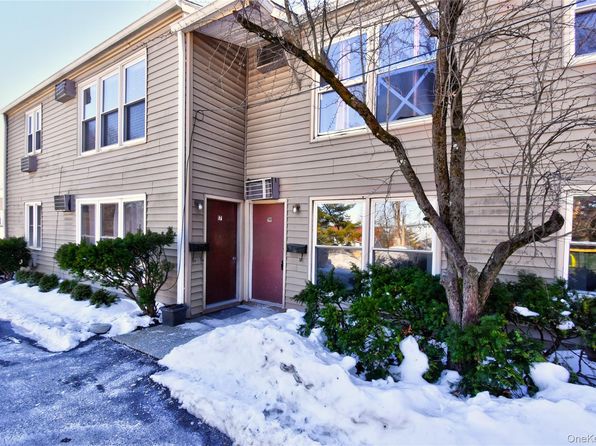
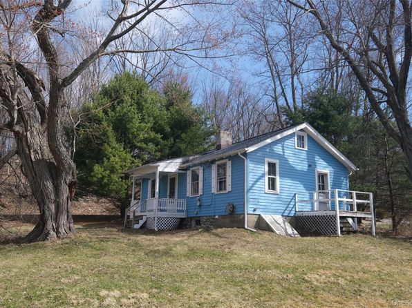
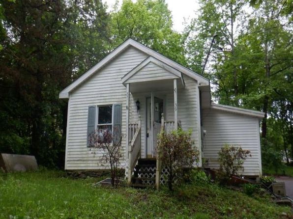
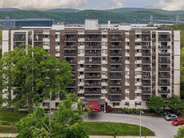
Similar properties in Poughkeepsie

Other for-sale homes in Poughkeepsie within about 20% of this listing's price. Open a property for a HoodScore safety preview.

$209,000
1 bd | 1 ba | 732 sqft
19 Gerald Drive #B2
Poughkeepsie, NY, 12601
View Safety Report
$189,999
1 bd | 1 ba | 850 sqft
150 Rinaldi Boulevard #1c
Poughkeepsie, NY, 12601
View Safety Report
$189,900
2 bd | 1 ba | 1,050 sqft
160 academy Street #7h
Poughkeepsie, NY, 12601
View Safety Report

Frequently asked questions

Is 321 Titusville Road #E91 in a low-crime area?

The current report summarizes crime-related incidents within 5 miles during the last 12 months. HoodScore compares these records with relevant benchmarks, but no report can guarantee future safety.

Why are traffic and medical calls shown separately from crime?

Traffic, medical and fire records are public-safety incidents but are not necessarily crimes. HoodScore separates them to avoid overstating the crime count.

How often is this HoodScore report updated?

The report displays its generated date. Update frequency varies by source and is explained in the HoodScore methodology.

How is the HoodScore calculated?

HoodScore combines nearby crime and offender data into a neighborhood safety score. Visit https://www.hoodscore.com/hoodscore-calculator.html to see how the calculation works.