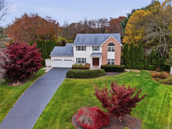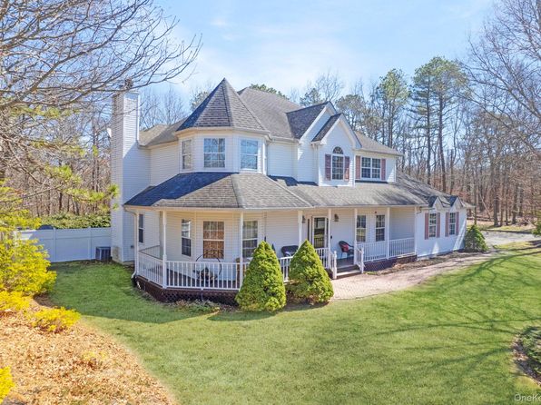



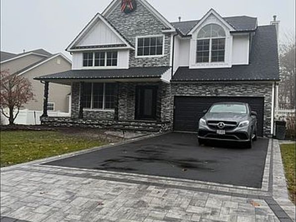
Crime & Safety Report for 287 Dayton Avenue, Manorville, NY 11949

Review crime and safety information near 287 Dayton Avenue, Manorville, NY 11949. HoodScore summarizes nearby reported incidents, registered sex offenders, and neighborhood safety indicators to help buyers and renters perform better location due diligence.

Generated At — 2026-07-26

Distance rings: 1 mi and 2 mi from the property.

PropertyIncidentsOffenders

Unlock the full safety report before making a decision about this neighborhood.

Full report contains 48 offenders within 5 miles and 2835 crime incidents in the last 12 months.

48 Registered Sex Offenders within 5 miles Near 287 Dayton Avenue, Manorville, NY 11949

48 Registered Offenders Nearby
17 Rape
15 Child Involved
1 Assault
18 Other
Photo Name / Age / Tags Arrest / Conviction Address Distance Risk
Offender photo

VICENTE E LOPEZ

years old

152 YAPHANK AVE Yaphank, NY, 11980
4.9 Medium
Offender photo

CHRISTIAN OHM

years old

Child Involved

147 Waldorf Dr Shirley, NY, 11967
2.1 Medium
Offender photo

FRANCISCO ARIAS

years old

Child Involved

130.80 - Course Sexual Conduct-2nd: Actor >17 Two Or More Acts On Child < 13

2024-10-03T12:42:28

44 MEADOWMERE AVE Mastic, NY, 11950
3.3 Medium
Offender photo

JOSEPH BIAMONTE

years old

130.60 - Sexual Abuse-2nd Degree

2024-10-03T12:42:28

240 FROWEIN RD Center Moriches, NY, 11934
2.4 Medium
Offender photo

MICHAEL J BRADLEY

years old

Rapist

130.40 - Sodomy-3rd Degree

2024-10-03T12:42:28

WILLIN FLOYD PKWY SHIRLEY Shirley, NY, 11967
2.9 Medium

2835 Crime & Incidents in the Last 12 Months

2835 Crime & Incidents by Severity
361 Severe
420 Medium
548 Low
1506 Other
Crime Location (Approx.) Severity Description

Medical Emergency

07/16/2026 09:17 PM

Greenway, Manorville, NY 11949

Unknown

As discussed during the dispatch call, a 56-year-old man was reported passed out and is now awake with tailbone injuries near Greenway Road and Mount Cook Avenue in Farmingville.

Suspicious Activity

07/16/2026 09:11 PM

Lawrence Dr, Ridge, NY 11961

MEDIUM

As discussed during the dispatch call, dispatch received a possible suspicious 911 hang-up and open line near Lawrence Lane and Wesley Lane in Ridge. On a third callback, someone reportedly answered by saying hello but did not respond to questions.

Traffic

07/16/2026 09:06 PM

Montauk Hwy, Shirley, NY 11967

LOW

As discussed during the dispatch call, officers respond to a report of a white Honda Civic apparently blocking a drive-through near Montauk Highway in Shirley.

Disturbance

07/16/2026 09:06 PM

Montauk Hwy, Shirley, NY 11967

Unknown

As discussed during the dispatch call, officers responded to a reported disturbance at a fast-food restaurant on Montauk Highway in Shirley involving a white Honda Civic that was apparently blocking the drive-through lane. The situation was later reported as under control. Separate radio traffic also mentioned an open-line hangup call from a location on Lawrence Lane in Ridge.

Domestic Dispute

07/16/2026 08:05 PM

Nick Ct, Yaphank, NY 11980

Unknown

As discussed during the dispatch call, officers are dispatched to a possible family disturbance near Nick Court and Yaphank Avenue involving a woman reportedly standing in front of a home and wearing a black sweatshirt.

Nearby Schools

Schools within 2 miles of this property, nearest first.

SchoolDistance
EASTPORT-SOUTH MANOR JUNIOR SENIOR HIGH SCHOOL0.2 mi
DAYTON AVENUE SCHOOL0.6 mi
WILLIAM FLOYD MIDDLE SCHOOL1.5 mi
MORICHES ELEMENTARY SCHOOL1.8 mi
SOUTH STREET SCHOOL1.8 mi

Similar properties in Manorville

Other for-sale homes in Manorville within about 20% of this listing's price. Open a property for a HoodScore safety preview.

$978,000
4 bd | 3 ba | 2,100 sqft
Lot 3 Eastport Manor Road
Manorville, NY, 11949
View Safety Report
$1,149,500
4 bd | 4 ba | 3,454 sqft
22 Jerusalem Hollow Road
Manorville, NY, 11949
View Safety Report
$1,200,000
5 bd | 4 ba | 3,289 sqft
15 Silas Woods Road
Manorville, NY, 11949
View Safety Report

Frequently asked questions

Is 287 Dayton Avenue in a low-crime area?

The current report summarizes crime-related incidents within 5 miles during the last 12 months. HoodScore compares these records with relevant benchmarks, but no report can guarantee future safety.

Why are traffic and medical calls shown separately from crime?

Traffic, medical and fire records are public-safety incidents but are not necessarily crimes. HoodScore separates them to avoid overstating the crime count.

How often is this HoodScore report updated?

The report displays its generated date. Update frequency varies by source and is explained in the HoodScore methodology.

How is the HoodScore calculated?

HoodScore combines nearby crime and offender data into a neighborhood safety score. Visit https://www.hoodscore.com/hoodscore-calculator.html to see how the calculation works.