
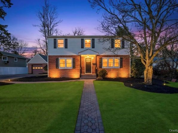
Crime & Safety Report for 27 Landscape Drive, Wheatley Heights, NY 11798

Review crime and safety information near 27 Landscape Drive, Wheatley Heights, NY 11798. HoodScore summarizes nearby reported incidents, registered sex offenders, and neighborhood safety indicators to help buyers and renters perform better location due diligence.

Generated At — 2026-07-26
Distance rings: 1 mi and 2 mi from the property.

PropertyIncidentsOffenders

Unlock the full safety report before making a decision about this neighborhood.

Full report contains 78 offenders within 5 miles and 6966 crime incidents in the last 12 months.

78 Registered Sex Offenders within 5 miles Near 27 Landscape Drive, Wheatley Heights, NY 11798

78 Registered Offenders Nearby
37 Rape
20 Child Involved
1 Assault
27 Other
Photo Name / Age / Tags Arrest / Conviction Address Distance Risk
Offender photo

DONALD CAMPBELL

years old

Rapist

14 21ST ST Wyandanch, NY
1.2 Medium
Offender photo

JULIO R FRANCO

years old

Child Involved

Rapist

998 CROOKED HILL RD BLDG 81-501 WARD WEST BRENTWOOD, New York 11717
4.2 Medium
Offender photo

FRANK MOLINARO

years old

Child Involved

Rapist

DEER PARK NY, 11704
3.2 Medium
Offender photo

JEFF D RUEB

years old

Rapist

399 COLUMBUS AVENUE North Babylon, NY, 11717
3.4 Medium
Offender photo

TROY RUSSELL

years old

Rapist

41 STATE AVE Wyandanch, NY, 11798
1.5 Medium

6966 Crime & Incidents in the Last 12 Months

6966 Crime & Incidents by Severity
883 Severe
934 Medium
1620 Low
3529 Other
Crime Location (Approx.) Severity Description

Disturbance

07/16/2026 09:02 PM

4th St & 10th Ave, West Babylon, NY 11704

Unknown

As discussed during the dispatch call, officers were dispatched to a possible loud music disturbance involving a vehicle near 4th Street and 10th Avenue after an anonymous complaint.

Disturbance

07/16/2026 09:01 PM

4th St & 10th Ave, West Babylon, NY 11704

Unknown

As discussed during the dispatch call, officers respond to a reported noise complaint about loud music coming from a vehicle driving near 4th Street and 10th Avenue in West Babylon, New York.

Suspicious Activity

07/16/2026 08:59 PM

Centerwood St, West Babylon, NY 11704

MEDIUM

As discussed during the dispatch call, officers were dispatched to a possible suspicious vehicle parked in front of a home on Centerwood Street in West Babylon. The gray Chevy was reported to be occupied by two people.

Domestic Dispute

07/16/2026 08:44 PM

Jackson Ave, Lindenhurst, NY 11757

Unknown

As discussed during the dispatch call, officers were dispatched to a reported family disturbance near Jackson Avenue and 49th Street. A caller speaking Spanish reported an issue involving a 30-year-old girlfriend’s son, who was described as possibly bipolar and seen earlier near 50th Street. The person was reported to be possibly circling the area, with weapons and substance use unknown.

Sex-Related Incident

07/16/2026 08:36 PM

Crooked Hill Rd, Brentwood, NY 11717

Unknown

As discussed during the dispatch call, officers are dispatched to a reported disturbance at a hotel on Crooked Hill Road, where an adult male is allegedly calling and texting a complainant’s minor daughter.

Nearby Schools

Schools within 2 miles of this property, nearest first.

SchoolDistance
ROBERT FROST MIDDLE SCHOOL0.6 mi
ACADEMY CHARTER SCHOOL 2 (THE)0.9 mi
JOHN QUINCY ADAMS PRIMARY SCHOOL0.9 mi
PAUMANOK ELEMENTARY SCHOOL0.9 mi
DEER PARK HIGH SCHOOL1.3 mi
LAFRANCIS HARDIMAN ELEMENTARY SCHOOL1.3 mi
MARTIN LUTHER KING ELEMENTARY SCHOOL1.3 mi
MAY MOORE PRIMARY SCHOOL1.5 mi
WYANDANCH MEMORIAL HIGH SCHOOL1.5 mi
MILTON L OLIVE MIDDLE SCHOOL1.6 mi
JOHN F KENNEDY INTERMEDIATE SCHOOL1.7 mi

Similar properties in Wyandanch

Other for-sale homes in Wyandanch within about 20% of this listing's price. Open a property for a HoodScore safety preview.

$850,000
4 bd | 4 ba | 1,792 sqft
164 Colonial Springs Road
Wyandanch, NY, 11798
View Safety Report
$799,000
5 bd | 3 ba | 13,504 sqft
83 Arlington Avenue
Wyandanch, NY, 11798
View Safety Report

Frequently asked questions

Is 27 Landscape Drive in a low-crime area?

The current report summarizes crime-related incidents within 5 miles during the last 12 months. HoodScore compares these records with relevant benchmarks, but no report can guarantee future safety.

Why are traffic and medical calls shown separately from crime?

Traffic, medical and fire records are public-safety incidents but are not necessarily crimes. HoodScore separates them to avoid overstating the crime count.

How often is this HoodScore report updated?

The report displays its generated date. Update frequency varies by source and is explained in the HoodScore methodology.

How is the HoodScore calculated?

HoodScore combines nearby crime and offender data into a neighborhood safety score. Visit https://www.hoodscore.com/hoodscore-calculator.html to see how the calculation works.