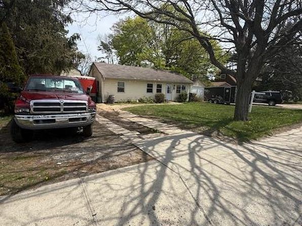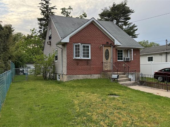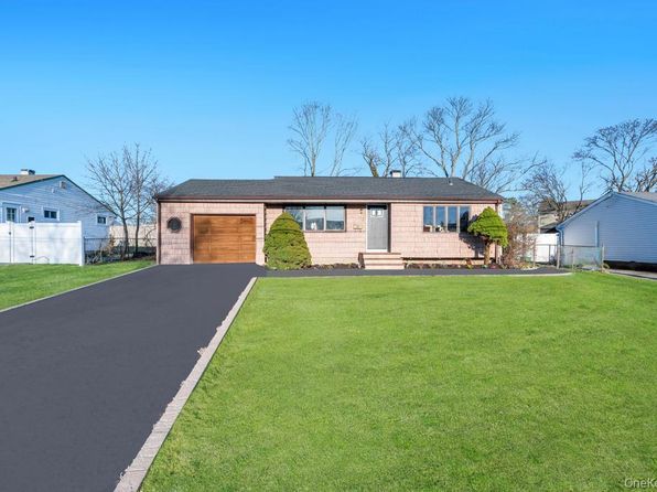
Crime & Safety Report for 20 Wendy Lane, Brentwood, NY 11717

Review crime and safety information near 20 Wendy Lane, Brentwood, NY 11717. HoodScore summarizes nearby reported incidents, registered sex offenders, and neighborhood safety indicators to help buyers and renters perform better location due diligence.

Generated At — 2026-07-26

Distance rings: 1 mi and 2 mi from the property.

PropertyIncidentsOffenders

Unlock the full safety report before making a decision about this neighborhood.

Full report contains 103 offenders within 5 miles and 8590 crime incidents in the last 12 months.

103 Registered Sex Offenders within 5 miles Near 20 Wendy Lane, Brentwood, NY 11717

103 Registered Offenders Nearby
34 Rape
26 Child Involved
3 Assault
43 Other
Photo Name / Age / Tags Arrest / Conviction Address Distance Risk
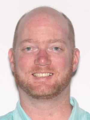
Offender photo

BAXTER, BRIAN J

40 years old

Child Involved

LAST REPORTED ADDRESS - OUT OF STATE BRIGHTWATERS, NY, 11718
4.4 Medium
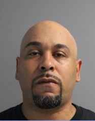
Offender photo

JULIO R FRANCO

years old

Child Involved

Rapist

998 CROOKED HILL RD BLDG 81-501 WARD WEST BRENTWOOD, New York 11717
1.2 Medium
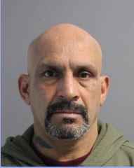
Offender photo

DANIEL SANTIAGO

years old

Rapist

HOMELESS BAYSHORE
4.8 Medium
Offender photo

MIGUEL DOMENECK

years old

264 WASHINGTON AVE Brentwood, NY, 11717
1.1 Medium
Offender photo

CARLOS POMALES

years old

Rapist

308 HANCOCK ST Brentwood, NY, 11717
0.6 High

8590 Crime & Incidents in the Last 12 Months

8590 Crime & Incidents by Severity
1114 Severe
1184 Medium
1976 Low
4316 Other
Crime Location (Approx.) Severity Description

Disturbance

07/16/2026 09:12 PM

Union Blvd, Bay Shore, NY 11706

Unknown

As discussed during the dispatch call, officers were dispatched to a store on Union Boulevard for a welfare check on a man reportedly yelling and refusing to leave.

Domestic Dispute

07/16/2026 08:52 PM

Calebs Path, Brentwood, NY 11717

Unknown

As discussed during the dispatch call, dispatch reports a possible domestic-related assault on Calebs Path in Central Islip, where a caller stated her ex-boyfriend punched her in the mouth and stole her cell phone before leaving the area in an unknown direction.

Domestic Dispute

07/16/2026 08:51 PM

Calebs Path, Brentwood, NY 11717

Unknown

As discussed during the dispatch call, officers are responding to a reported domestic-related assault and robbery near Calebs Path in Central Islip, where an ex-boyfriend allegedly punched the victim and took her cell phone before leaving in an unknown direction.

Domestic Dispute

07/16/2026 08:49 PM

Calebs Path, Brentwood, NY 11717

Unknown

As discussed during the dispatch call, dispatch reports a possible domestic-related assault at a home off Calebs Path near Lexington, where a woman says her former partner punched her and took her phone before leaving the area.

Break-In

07/16/2026 08:48 PM

Windsor Pl, Central Islip, NY 11722

Unknown

As discussed during the dispatch call, officers respond to a possible burglary after an alarm company reports an open door at a residence on Windsor Place in Central Islip. The company has not reached a keyholder and may call back if contact is made.

Nearby Schools

Schools within 2 miles of this property, nearest first.

SchoolDistance
NORTH MIDDLE SCHOOL0.1 mi
FRESHMAN CENTER0.4 mi
TWIN PINES ELEMENTARY SCHOOL0.5 mi
PINE PARK ELEMENTARY SCHOOL0.6 mi
NORTH ELEMENTARY SCHOOL0.7 mi
NORTHEAST ELEMENTARY SCHOOL1.3 mi
BRENTWOOD HIGH SCHOOL1.4 mi
BRENTWOOD RESIDENTIAL CENTER1.9 mi
EAST MIDDLE SCHOOL1.9 mi
SOUTH MIDDLE SCHOOL1.9 mi

Similar properties in Brentwood

Other for-sale homes in Brentwood within about 20% of this listing's price. Open a property for a HoodScore safety preview.

$451,250
4 bd | 2 ba | 2,192 sqft
20 Washington Avenue
Brentwood, NY, 11717
View Safety Report
$449,999
6 bd | 3 ba | 1,500 sqft
18 Pennsylvania Avenue
Brentwood, NY, 11717
View Safety Report
$579,500
3 bd | 2 ba | 886 sqft
169 Charter Oaks Avenue
Brentwood, NY, 11717
View Safety Report

Frequently asked questions

Is 20 Wendy Lane in a low-crime area?

The current report summarizes crime-related incidents within 5 miles during the last 12 months. HoodScore compares these records with relevant benchmarks, but no report can guarantee future safety.

Why are traffic and medical calls shown separately from crime?

Traffic, medical and fire records are public-safety incidents but are not necessarily crimes. HoodScore separates them to avoid overstating the crime count.

How often is this HoodScore report updated?

The report displays its generated date. Update frequency varies by source and is explained in the HoodScore methodology.

How is the HoodScore calculated?

HoodScore combines nearby crime and offender data into a neighborhood safety score. Visit https://www.hoodscore.com/hoodscore-calculator.html to see how the calculation works.