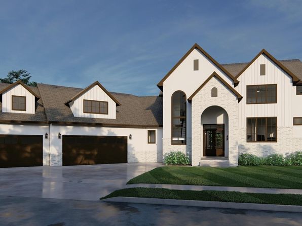
Crime & Safety Report for 805 N 132nd Ave, Omaha, NE 68154

Review crime and safety information near 805 N 132nd Ave, Omaha, NE 68154. HoodScore summarizes nearby reported incidents, registered sex offenders, and neighborhood safety indicators to help buyers and renters perform better location due diligence.

Generated At — 2026-07-25
Distance rings: 1 mi and 2 mi from the property.

PropertyIncidentsOffenders

Unlock the full safety report before making a decision about this neighborhood.

Full report contains 170 offenders within 5 miles and 7200 crime incidents in the last 12 months.

170 Registered Sex Offenders within 5 miles Near 805 N 132nd Ave, Omaha, NE 68154

170 Registered Offenders Nearby
7 Rape
93 Child Involved
98 Assault
10 Other
Photo Name / Age / Tags Arrest / Conviction Address Distance Risk
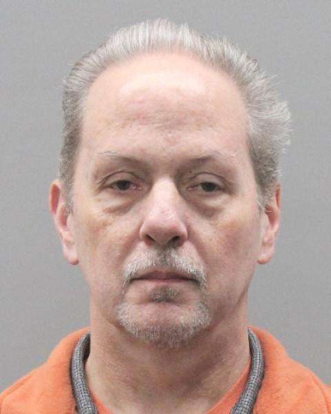
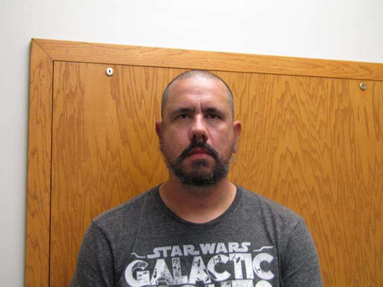
Offender photo

DELGADO, JAMES SCOTT

57 years old

Child Involved

ANNOY OR MOLEST A CHILD <18YOA

2024-12-30T06:53:08

10829 M ST OMAHA, NE, 68137
4.3 Medium
Offender photo

LADD, RYAN MICHAEL

43 years old

Child Involved

Violent

17021 SPRAGUE ST OMAHA, NE, 68116-3028
3.7 Medium
Offender photo

KREUTZER, ALAN RICHARD

60 years old

Child Involved

Violent

15671 KING ST BENNINGTON, NE, 68007
4.9 Medium
Offender photo

MEASE, ERIC LAMONT

47 years old

Violent

4815 N 148TH CIR. OMAHA, NE, 68116
2.8 Medium
Offender photo

ANDERSON, KYLE TRENT

51 years old

Child Involved

Violent

14911 OHIO ST OMAHA, NE, 68116
1.8 Medium

7200 Crime & Incidents in the Last 12 Months

7200 Crime & Incidents by Severity
790 Severe
1162 Medium
2023 Low
3225 Other
Crime Location (Approx.) Severity Description

Traffic

07/16/2026 11:01 PM

S 138th St & W St, Omaha, NE 68137

LOW

As discussed during the dispatch call, officers were requested to respond to a reported reckless driver near South 138th Street and W Street in Omaha. The driver was described as a 24-year-old woman with a suspended license operating a black BMW SUV, with the license plate not provided.

Assault Report

07/16/2026 10:56 PM

Laurel Cir, Omaha, NE 68164

Unknown

As discussed during the dispatch call, officers were dispatched to a reported fight/disturbance near Laurel Circle. The caller reported several females fighting (reported intoxicated; weapons unknown). A juvenile male was reportedly involved earlier but went inside the home. The situation was later updated as no longer physical and now just arguing.

Traffic

07/16/2026 10:43 PM

Birch Dr, Omaha, NE 68164

LOW

As discussed during the dispatch call, a deputy is reported to be assisting Omaha police with a possible traffic stop in a parking lot near Maple Street and Birch Drive.

Medical Emergency

07/16/2026 10:38 PM

Farnam Dr, Omaha, NE 68114

Unknown

As discussed during the dispatch call, an injured person from a fall is reported near Farnham Drive, unit (number withheld), Arboretum Village. Engine 53 and Medic 52 were dispatched.

Medical Emergency

07/16/2026 10:37 PM

Farnam Dr, Omaha, NE 68114

Unknown

As discussed during the dispatch call, a possible medical emergency involving an 89-year-old male who fell and injured his leg in room (number withheld) at Arborium Village. He was alert, conscious, and breathing when help arrived.

Nearby Schools

Schools within 2 miles of this property, nearest first.

SchoolDistance
BOYS TOWN INTERVENTION AND ASSESSMENT SCHOOL0.7 mi
COLUMBIAN ELEMENTARY SCHOOL0.9 mi
BURKE HIGH SCHOOL0.9 mi
EZRA MILLARD ELEMENTARY SCH1.0 mi
RTC SCHOOL1.4 mi
CHILD AND ADOLESCENT PSYCHIATRIC CENTER1.4 mi
PICOTTE ELEMENTARY SCHOOL1.6 mi
MILLARD NORTH HIGH SCHOOL1.6 mi
CRESTRIDGE MAGNET CENTER1.6 mi
JOSLYN ELEMENTARY SCHOOL1.9 mi
GRACE ABBOTT ELEM SCHOOL1.9 mi
CATLIN MAGNET CENTER1.9 mi
BEVERIDGE MAGNET MIDDLE SCHOOL2.0 mi

Similar properties in Omaha

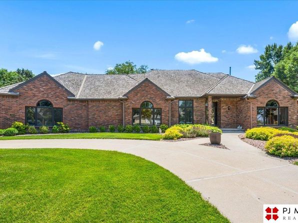
Other for-sale homes in Omaha within about 20% of this listing's price. Open a property for a HoodScore safety preview.

$1,210,000
3 bd | 2 ba | 1,200 sqft
5981 N 166th Terrace Plz
Omaha, NE, 68116
View Safety Report

Frequently asked questions

Is 805 N 132nd Ave in a low-crime area?

The current report summarizes crime-related incidents within 5 miles during the last 12 months. HoodScore compares these records with relevant benchmarks, but no report can guarantee future safety.

Why are traffic and medical calls shown separately from crime?

Traffic, medical and fire records are public-safety incidents but are not necessarily crimes. HoodScore separates them to avoid overstating the crime count.

How often is this HoodScore report updated?

The report displays its generated date. Update frequency varies by source and is explained in the HoodScore methodology.

How is the HoodScore calculated?

HoodScore combines nearby crime and offender data into a neighborhood safety score. Visit https://www.hoodscore.com/hoodscore-calculator.html to see how the calculation works.