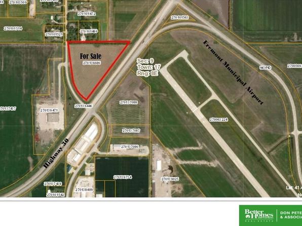
Crime & Safety Report for 0 County Road 18, Fremont, NE 68025

Review crime and safety information near 0 County Road 18, Fremont, NE 68025. HoodScore summarizes nearby reported incidents, registered sex offenders, and neighborhood safety indicators to help buyers and renters perform better location due diligence.

Generated At — 2026-07-26

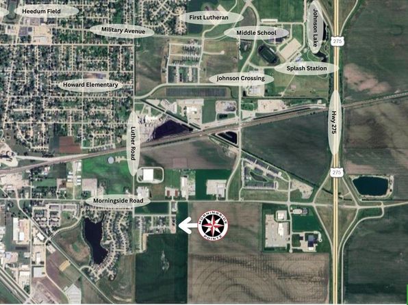
Distance rings: 1 mi and 2 mi from the property.

PropertyIncidentsOffenders

Unlock the full safety report before making a decision about this neighborhood.

Full report contains 4 offenders within 5 miles and 59 crime incidents in the last 12 months.

4 Registered Sex Offenders within 5 miles Near 0 County Road 18, Fremont, NE 68025

4 Registered Offenders Nearby
0 Rape
1 Child Involved
3 Assault
0 Other
Photo Name / Age / Tags Arrest / Conviction Address Distance Risk
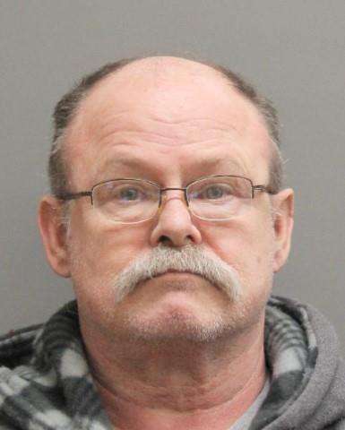
Offender photo

SPICER, SCOTT RAY

63 years old

Violent

3rd Degree Sexual Assault M1

2024-12-30T07:00:14

3rd Degree Sexual Assault M1

2024-12-30T07:00:14

1731 COUNTY ROAD #13 AMES, NE, 68621
4.7 Medium
Offender photo

WARNER, CHARLES SCOTT

36 years old

Violent

Attempted 2nd Degree Sexual Assault F3A

2024-12-30T07:00:14

2646 SEATON AVE FREMONT, NE, 68025
4.3 Medium
Offender photo

BAKER, ROBYN JEAN

41 years old

Child Involved

Sexual Abuse of a Protected Individual 1st Degree F3

2024-12-30T07:00:14

2072 COUNTY RD 15 BLVD AMES, NE, 68621
3.6 Medium
Offender photo

LADEHOFF, TIMOTHY JOHN

32 years old

Violent

1st Degree Sexual Assault F2

2024-12-30T07:00:14

2081 COUNTY RD 15 BLVD AMES, NE, 68621
3.6 Medium

59 Crime & Incidents in the Last 12 Months

59 Crime & Incidents by Severity
8 Severe
13 Medium
19 Low
19 Other
Crime Location (Approx.) Severity Description

Substance Use

07/16/2026 08:51 PM

Broad St, Fremont, NE 68025

Unknown

As discussed during the dispatch call, dispatch reports a possible impaired driver in a black pickup traveling north on Broad Street near the Highway 77 roundabout, allegedly swerving and driving under the speed limit, with a caller following in another vehicle. The vehicle was later reported stopped near the intersection of Military Avenue and Broad Street in Fremont, Nebraska.

Traffic

07/12/2026 12:42 PM

Broad St, Fremont, NE 68025

LOW

As discussed during the dispatch call, an officer responded to a vehicle crash near Military Avenue and Broad Street in Fremont. The officer requested a case number and collected a vehicle plate number related to the traffic incident.

Substance Use

07/10/2026 06:30 PM

State Lakes Rd, Fremont, NE 68025

Unknown

As discussed during the dispatch call, dispatchers report a possible disturbance involving an apparently intoxicated woman in a swimsuit holding a bottle of alcohol at a restaurant patio near State Lakes on State Lake Road. Deputies are sent to the location, identified as the Lake House Restaurant, where the situation is visible from the patio area.

Disturbance

07/10/2026 12:56 PM

W 23rd St, Fremont, NE 68025

Unknown

As discussed during the dispatch call, officers responded to a reported disturbance at a business on West 23rd Street in Fremont involving a dispute over ownership of a trailer that one person said they bought and others claimed was stolen. The involved parties were reportedly separated when officers arrived.

Other Incidents

07/08/2026 06:35 PM

Airport Rd & W 23rd St, Fremont, NE 68025

Unknown

As discussed during the dispatch call, dispatch advised units to hold all non-emergency calls due to severe weather. Radio traffic reported a major lightning strike near a transformer by 23rd Street and Airport Road in Fremont, Nebraska.

Similar properties in Fremont

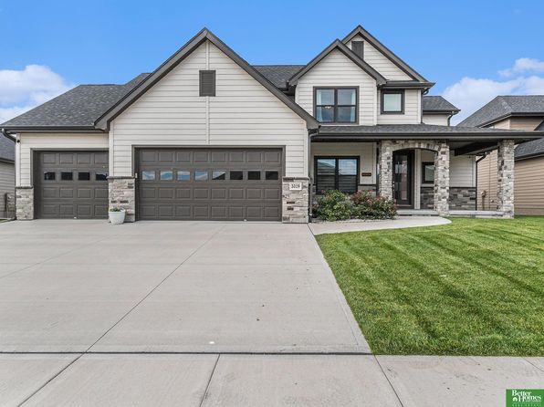
Other for-sale homes in Fremont within about 20% of this listing's price. Open a property for a HoodScore safety preview.

$680,000
3 bd | 3 ba | 2,028 sqft
S 1032 Platte Shore Dr
Fremont, NE, 68025
View Safety Report

Frequently asked questions

Is 0 County Road 18 in a low-crime area?

The current report summarizes crime-related incidents within 5 miles during the last 12 months. HoodScore compares these records with relevant benchmarks, but no report can guarantee future safety.

Why are traffic and medical calls shown separately from crime?

Traffic, medical and fire records are public-safety incidents but are not necessarily crimes. HoodScore separates them to avoid overstating the crime count.

How often is this HoodScore report updated?

The report displays its generated date. Update frequency varies by source and is explained in the HoodScore methodology.

How is the HoodScore calculated?

HoodScore combines nearby crime and offender data into a neighborhood safety score. Visit https://www.hoodscore.com/hoodscore-calculator.html to see how the calculation works.