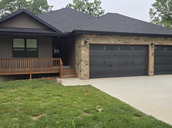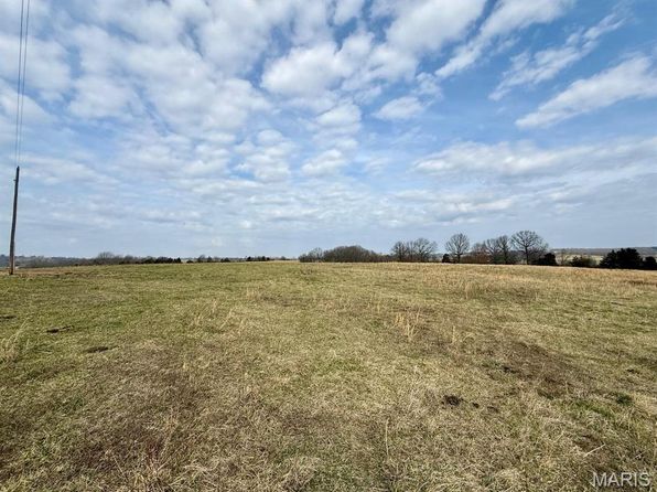

Crime & Safety Report for 1952 Mount Pisgah Road, Cabool, MO 65689

Review crime and safety information near 1952 Mount Pisgah Road, Cabool, MO 65689. HoodScore summarizes nearby reported incidents, registered sex offenders, and neighborhood safety indicators to help buyers and renters perform better location due diligence.

Generated At — 2026-07-25

Distance rings: 1 mi and 2 mi from the property.

PropertyIncidentsOffenders

Unlock the full safety report before making a decision about this neighborhood.

Full report contains 4 offenders within 5 miles and 4 crime incidents in the last 12 months.

4 Registered Sex Offenders within 5 miles Near 1952 Mount Pisgah Road, Cabool, MO 65689

4 Registered Offenders Nearby
1 Rape
0 Child Involved
0 Assault
3 Other
Photo Name / Age / Tags Arrest / Conviction Address Distance Risk
Offender photo

BRADFORD, DAVE EARL

50 years old

Indecent Exposure

2024-12-20T10:58:19

Indecent Exposure

2024-12-20T10:58:19

14930 DEES RD UNINC TEXAS COUNTY, MO, 65464
3.4 Medium
Offender photo

ESTEP, LEVI BRANDON

45 years old

Rapist

Stat Sodomy-1st Deg-pers Und 14

2024-12-20T10:58:19

527 SPRUCE STREET APT 1R CABOOL, MO, 65689
4.7 Medium
Offender photo

LEWIS, HERSHEL WILLARD

60 years old

15580 HIGHWAY U UNINC TEXAS COUNTY, MO, 65689
0.4 High
Offender photo

JOHNSTON, JOHN DAVID

56 years old

2457 HIGHWAY 63 APT 3 UNINC TEXAS COUNTY, MO, 65689
4.1 Medium

4 Crime & Incidents in the Last 12 Months

4 Crime & Incidents by Severity
4 Low
Crime Location (Approx.) Severity Description

Traffic

07/08/2026 12:28 PM

US-60, Willow Springs, MO 65793

LOW

As discussed during the dispatch call, dispatchers and officers discussed a possible stranded blue SUV on the left shoulder of westbound Highway 60 near Route 9, and a unit turned around near Woodland to check on the vehicle after the driver reported the engine had died and contacted roadside assistance.

Traffic

07/04/2026 09:27 PM

US-63, Willow Springs, MO 65793

LOW

As discussed during the dispatch call, officers were advised of a possible wrong-way driver in a small passenger car going northbound in the southbound lanes of Highway 63 near the Highway 22 junction. The information was reported to be a few minutes old and local police had been notified.

Traffic

06/05/2026 01:26 PM

US-63, Cabool, MO

LOW

As discussed during the dispatch call, officers received a report of a tan Toyota Sequoia driving aggressively south on Highway 63 near Cabool. The vehicle reportedly pulled in front of a tractor trailer and slowed to about 45 to 50 miles per hour, not allowing the truck to pass.

Traffic

06/01/2026 03:15 PM

Roberts Park, Cabool, MO 65689

LOW

As discussed during the dispatch call, emergency responders were called to Highway B near Sleepy Hollow Trailer Park in Texas County after a black Chevrolet Cavalier reportedly struck a pedestrian and left the scene heading west. Medical units were dispatched to assist the injured individual.

Similar properties in Cabool

Other for-sale homes in Cabool within about 20% of this listing's price. Open a property for a HoodScore safety preview.

Frequently asked questions

Is 1952 Mount Pisgah Road in a low-crime area?

The current report summarizes crime-related incidents within 5 miles during the last 12 months. HoodScore compares these records with relevant benchmarks, but no report can guarantee future safety.

Why are traffic and medical calls shown separately from crime?

Traffic, medical and fire records are public-safety incidents but are not necessarily crimes. HoodScore separates them to avoid overstating the crime count.

How often is this HoodScore report updated?

The report displays its generated date. Update frequency varies by source and is explained in the HoodScore methodology.

How is the HoodScore calculated?

HoodScore combines nearby crime and offender data into a neighborhood safety score. Visit https://www.hoodscore.com/hoodscore-calculator.html to see how the calculation works.