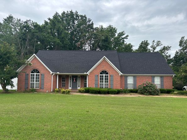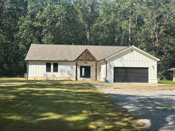

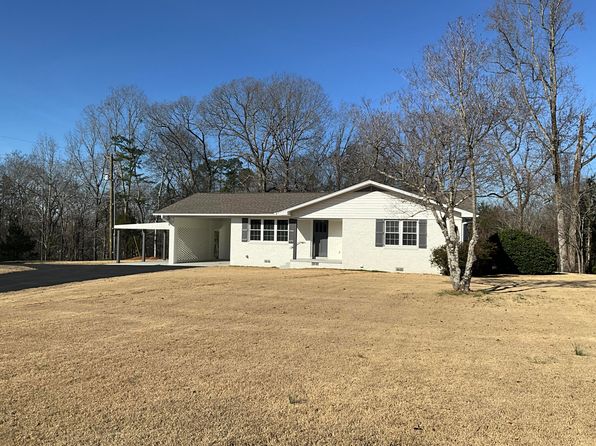
Crime & Safety Report for 1344 State Highway 30 E, New Albany, MS 38652

Review crime and safety information near 1344 State Highway 30 E, New Albany, MS 38652. HoodScore summarizes nearby reported incidents, registered sex offenders, and neighborhood safety indicators to help buyers and renters perform better location due diligence.

Generated At — 2026-07-25
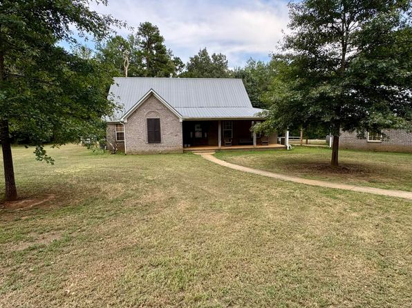
Distance rings: 1 mi and 2 mi from the property.

PropertyIncidentsOffenders

Unlock the full safety report before making a decision about this neighborhood.

Full report contains 7 offenders within 5 miles and 48 crime incidents in the last 12 months.

7 Registered Sex Offenders within 5 miles Near 1344 State Highway 30 E, New Albany, MS 38652

7 Registered Offenders Nearby
1 Rape
6 Child Involved
2 Assault
1 Other
Photo Name / Age / Tags Arrest / Conviction Address Distance Risk
Offender photo

ROCK, RICHARD ALLEN

64 years old

Child Involved

CHILD MOLESTING/ANY OFFENSE COMMITTED IN ANOTHER JURISDICTION FOR WHICH REGISTRATION IS REQUIRED IN THAT JURISDICTION

2024-12-21T05:07:36

500 MS 15 NEW ALBANY, MS, 38652
4.7 Medium
Offender photo

BAKER, ANDREW BLAKE

33 years old

Child Involved

Violent

Sexual battery

2024-12-21T05:07:36

908 ST HWY 15 NEW ALBANY, MS, 38652
4.7 Medium
Offender photo

GREGORY, JAMES C JR

52 years old

1083 CR 115 LOT 1 NEW ALBANY, MS, 38652
4.8 Medium
Offender photo

TOWERY, JUSTIN ANDREW

39 years old

Child Involved

EXPLOITATION OF A CHILD FOR SEXUAL EXPLICIT PURPOSES

2024-12-21T05:07:36

1016 ALLRED DR NEW ALBANY, MS, 38652
3.7 Medium
Offender photo

WILLIAMS, ALBERT DENZIL

27 years old

Child Involved

Violent

Sexual battery

2024-12-21T05:07:36

1101 DENMILL RD NEW ALBANY, MS, 38652
4.9 Medium

48 Crime & Incidents in the Last 12 Months

48 Crime & Incidents by Severity
9 Severe
9 Medium
13 Low
17 Other
Crime Location (Approx.) Severity Description

Medical Emergency

07/16/2026 05:03 PM

Cherry Tree Ln, New Albany, MS 38652

Unknown

As discussed during the dispatch call, emergency services responded to a call about a male with low blood pressure near Cherry Tree Lane in New Albany.

Medical Emergency

07/14/2026 05:26 PM

MS-348, Blue Springs, MS 38828

Unknown

As discussed during the dispatch call, emergency medical services responded near Highway 348 for a report of a female driver appearing sick and confused, possibly with dementia. The patient is believed to be in a red vehicle parked at the end of a driveway near the location.

Medical Emergency

07/14/2026 05:08 PM

MS-348, Blue Springs, MS 38828

Unknown

As discussed during the dispatch call, a female in a red Honda Kona was reportedly flagging down several people asking for help near highway 348. The incident may involve a medical emergency.

Missing Person

07/14/2026 05:08 PM

MS-348, Blue Springs, MS 38828

LOW

As discussed during the dispatch call, dispatch reports a possible missing and confused dementia patient near Highway 348, with deputies sent to check on her condition.

Weapons

07/12/2026 09:39 PM

Carlisle St, New Albany, MS 38652

SERIOUS

As discussed during the dispatch call, dispatchers received multiple 911 calls about possible gunfire near First Street and Carlisle in New Albany. Callers reported incidents near several nearby houses, and radio traffic suggested there may be two separate shooting incidents in the area.

Similar properties in New Albany

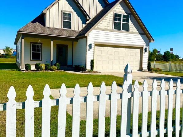
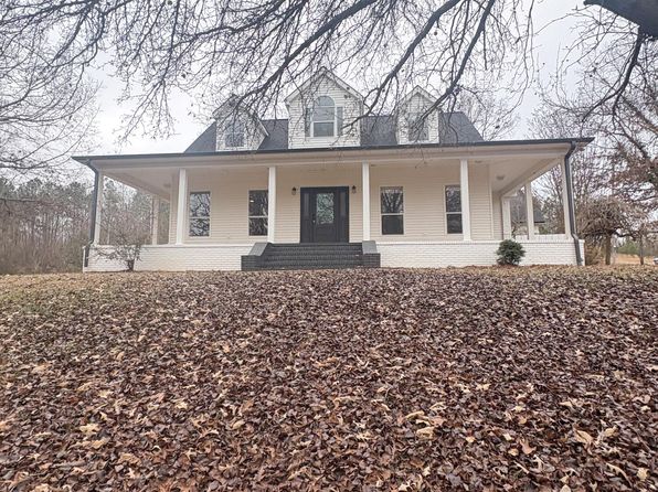
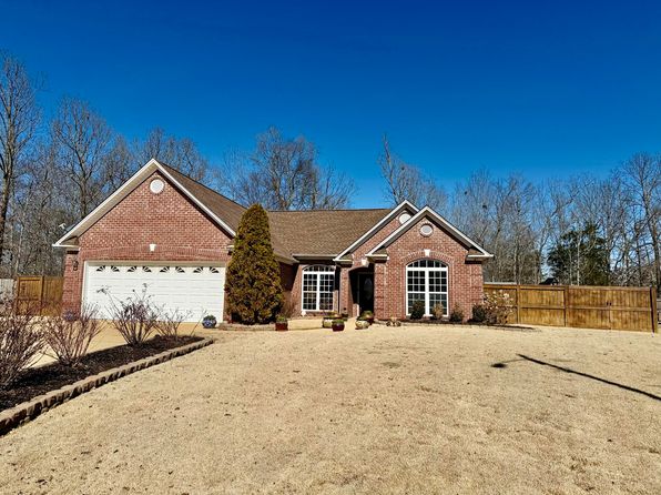
Other for-sale homes in New Albany within about 20% of this listing's price. Open a property for a HoodScore safety preview.

$399,000
3 bd | 2 ba | 1,699 sqft
939 County Road 115
New Albany, MS, 38652
View Safety Report
$394,500
3 bd | 2 ba | 1,900 sqft
1001 County Road 372
New Albany, MS, 38652
View Safety Report
$385,000
3 bd | 3 ba | 2,884 sqft
1022 County Road 137
New Albany, MS, 38652
View Safety Report
$415,000
3 bd | 2 ba | 2,067 sqft
1387 County Road 81
New Albany, MS, 38652
View Safety Report
$420,000
4 bd | 2 ba | 2,092 sqft
1555 County Road 127
New Albany, MS, 38652
View Safety Report

Frequently asked questions

Is 1344 State Highway 30 E in a low-crime area?

The current report summarizes crime-related incidents within 5 miles during the last 12 months. HoodScore compares these records with relevant benchmarks, but no report can guarantee future safety.

Why are traffic and medical calls shown separately from crime?

Traffic, medical and fire records are public-safety incidents but are not necessarily crimes. HoodScore separates them to avoid overstating the crime count.

How often is this HoodScore report updated?

The report displays its generated date. Update frequency varies by source and is explained in the HoodScore methodology.

How is the HoodScore calculated?

HoodScore combines nearby crime and offender data into a neighborhood safety score. Visit https://www.hoodscore.com/hoodscore-calculator.html to see how the calculation works.