Crime & Safety Report for County Road 24 Blvd Lot Wp001, Cannon Falls, MN 55009

Review crime and safety information near County Road 24 Blvd Lot Wp001, Cannon Falls, MN 55009. HoodScore summarizes nearby reported incidents, registered sex offenders, and neighborhood safety indicators to help buyers and renters perform better location due diligence.

Generated At — 2026-07-26

Distance rings: 1 mi and 2 mi from the property.

PropertyIncidentsOffenders

Unlock the full safety report before making a decision about this neighborhood.

Full report contains 0 offenders within 5 miles and 3 crime incidents in the last 12 months.

0 Registered Sex Offenders within 5 miles Near County Road 24 Blvd Lot Wp001, Cannon Falls, MN 55009

0 Registered Offenders Nearby
0 Rape
0 Child Involved
0 Assault
0 Other
Photo Name / Age / Tags Arrest / Conviction Address Distance Risk

3 Crime & Incidents in the Last 12 Months

3 Crime & Incidents by Severity
1 Severe
2 Other
Crime Location (Approx.) Severity Description

Medical Emergency

06/24/2026 03:07 AM

325th St, Dennison, MN 55018

Unknown

As discussed during the dispatch call, a medical alarm was triggered near 325th Street in Dennison, possibly accidentally caused by a cat. Ambulance and rescue units were dispatched but later canceled after contact with a resident.

Similar properties in Cannon Falls

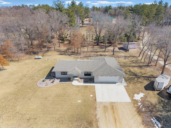
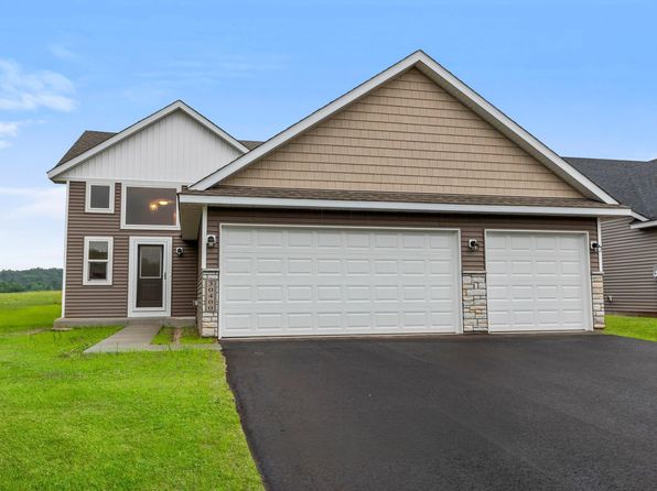
Other for-sale homes in Cannon Falls within about 20% of this listing's price. Open a property for a HoodScore safety preview.

$499,000
4 bd | 5 ba | 2,798 sqft
5294 312th Street Path
Cannon Falls, MN, 55009
View Safety Report
$489,900
3 bd | 2 ba | 1,844 sqft
6701 Ridgewood Dr
Cannon Falls, MN, 55009
View Safety Report
$489,900
4 bd | 3 ba | 2,599 sqft
13347 County Road 1 Blvd
Cannon Falls, MN, 55009
View Safety Report
$575,000
5 bd | 3 ba | 2,344 sqft
32420 59th Avenue Way
Cannon Falls, MN, 55009
View Safety Report
$409,850
5 bd | 3 ba | 2,131 sqft
30400 72nd Avenue Way
Cannon Falls, MN, 55009
View Safety Report

Frequently asked questions

Is County Road 24 Blvd Lot Wp001 in a low-crime area?

The current report summarizes crime-related incidents within 5 miles during the last 12 months. HoodScore compares these records with relevant benchmarks, but no report can guarantee future safety.

Why are traffic and medical calls shown separately from crime?

Traffic, medical and fire records are public-safety incidents but are not necessarily crimes. HoodScore separates them to avoid overstating the crime count.

How often is this HoodScore report updated?

The report displays its generated date. Update frequency varies by source and is explained in the HoodScore methodology.

How is the HoodScore calculated?

HoodScore combines nearby crime and offender data into a neighborhood safety score. Visit https://www.hoodscore.com/hoodscore-calculator.html to see how the calculation works.