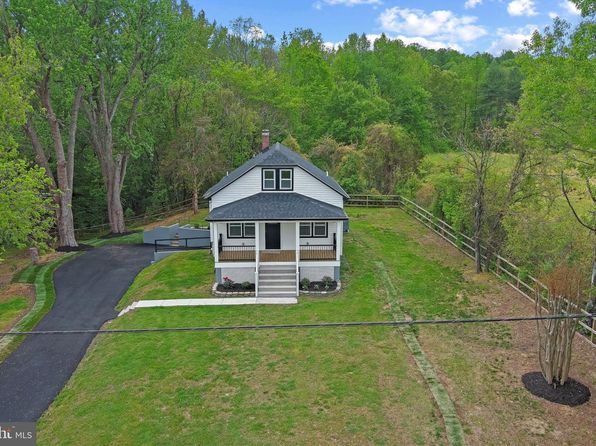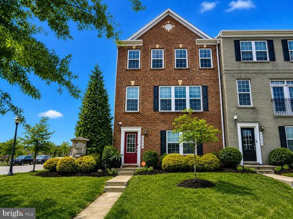
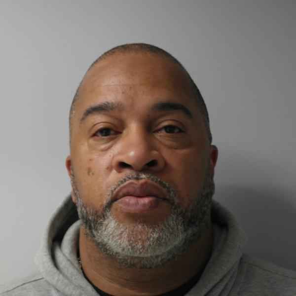
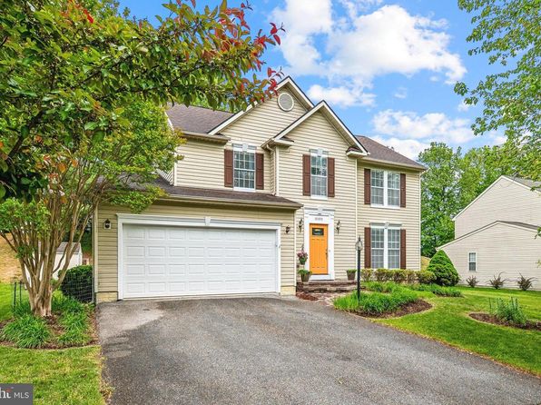
Crime & Safety Report for 15504 Newtonmore Ln, Upper Marlboro, MD 20774

Review crime and safety information near 15504 Newtonmore Ln, Upper Marlboro, MD 20774. HoodScore summarizes nearby reported incidents, registered sex offenders, and neighborhood safety indicators to help buyers and renters perform better location due diligence.

Generated At — 2026-07-26
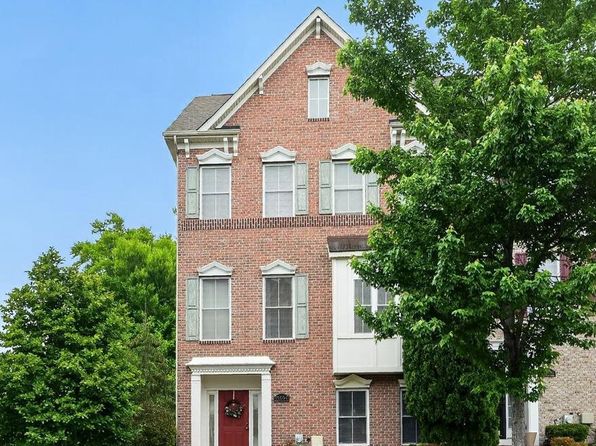
Distance rings: 1 mi and 2 mi from the property.

PropertyIncidentsOffenders

Unlock the full safety report before making a decision about this neighborhood.

Full report contains 67 offenders within 5 miles and 1517 crime incidents in the last 12 months.

67 Registered Sex Offenders within 5 miles Near 15504 Newtonmore Ln, Upper Marlboro, MD 20774

67 Registered Offenders Nearby
10 Rape
21 Child Involved
4 Assault
36 Other
Photo Name / Age / Tags Arrest / Conviction Address Distance Risk
Offender photo

ROBERTS, NIGEL ELIJAH

45 years old

2256 PRINCE OF WALES CT BOWIE, MD, 20716
4.9 Medium
Offender photo

THOMAS, RODNEY SYLVESTER

48 years old

Child Involved

909 HALL STATION DR BOWIE, MD, 20721
3.6 Medium
Offender photo

ADAMS, EDWARD DAVID

62 years old

6609 MAUDE SAVOY BROWN RD UPPER MARLBORO, MD, 20772
3.5 Medium
Offender photo

BLAKE, MICHAEL ANTHONY

54 years old

Child Involved

15616 TIBBERTON TER UPPER MARLBORO, MD, 20774
0.6 High
Offender photo

DIXON, PRESTON LEE

89 years old

11004 WOODLAWN BLVD UPPER MARLBORO, MD, 20774
4.6 Medium

1517 Crime & Incidents in the Last 12 Months

1517 Crime & Incidents by Severity
222 Severe
219 Medium
256 Low
820 Other
Crime Location (Approx.) Severity Description

Domestic Dispute

07/16/2026 11:30 PM

Cranford Dr, Upper Marlboro, MD 20772

Unknown

As discussed during the dispatch call, officers are dispatched to a reported family dispute at a residence on Cranford Drive. The caller reported that a cousin allegedly entered the home and assaulted them. The suspected person is described as an adult woman.

Fire

07/16/2026 11:07 PM

Central Ave, Upper Marlboro, MD 20774

MEDIUM

As discussed during the dispatch call, fire crews are dispatched to investigate possible smoke reported outside along Central Avenue westbound in the local box area. A paramedic engine is assigned to the call.

Medical Emergency

07/16/2026 11:05 PM

Earl Sullivan Rd, Harwood, MD 20776

Unknown

As discussed during the dispatch call, responders were dispatched to Earl Sullivan Road for a 57-year-old woman who is conscious and breathing after being bitten and sprayed with an oily substance, possibly by a skunk.

Medical Emergency

07/16/2026 10:20 PM

Powell Ln, Bowie, MD 20716

Unknown

As discussed during the dispatch call, a sick person was reported near Powell Lane and Peach Walker Drive. Ambulance and paramedic units responded to the scene.

Fire

07/16/2026 10:01 PM

Central Ave, Bowie, MD 20721

MEDIUM

As discussed during the dispatch call, fire crews were dispatched to check a report of possible smoke outside along Central Avenue westbound near a commercial or residential location.

Similar properties in Upper Marlboro

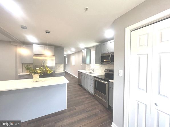
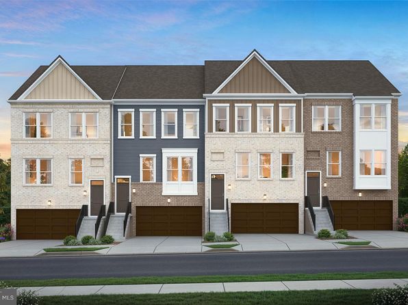
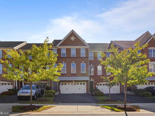
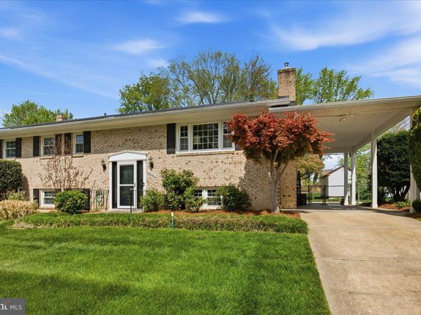
Other for-sale homes in Upper Marlboro within about 20% of this listing's price. Open a property for a HoodScore safety preview.

$565,000
4 bd | 3 ba | 2,802 sqft
10300 Bending Brook Way
Upper Marlboro, MD, 20772
View Safety Report
$549,000
3 bd | 3 ba | 2,594 sqft
13716 Carlene Dr
Upper Marlboro, MD, 20772
View Safety Report
$575,000
3 bd | 4 ba | 2,399 sqft
9700 Central Park Dr
Upper Marlboro, MD, 20772
View Safety Report
$540,000
3 bd | 3 ba | 1,724 sqft
5418 Manor Park Dr
Upper Marlboro, MD, 20772
View Safety Report
$540,000
3 bd | 3 ba | 2,878 sqft
5209 Mount Airy Ln
Upper Marlboro, MD, 20772
View Safety Report
$580,000
7 bd | 3 ba | 3,180 sqft
11805 N Marlton Ave
Upper Marlboro, MD, 20772
View Safety Report
$585,000
3 bd | 4 ba | 3,618 sqft
4506 Grazing Way
Upper Marlboro, MD, 20772
View Safety Report
$528,388
4 bd | 3 ba | 2,265 sqft
10708 Tyrone Dr
Upper Marlboro, MD, 20772
View Safety Report

Frequently asked questions

Is 15504 Newtonmore Ln in a low-crime area?

The current report summarizes crime-related incidents within 5 miles during the last 12 months. HoodScore compares these records with relevant benchmarks, but no report can guarantee future safety.

Why are traffic and medical calls shown separately from crime?

Traffic, medical and fire records are public-safety incidents but are not necessarily crimes. HoodScore separates them to avoid overstating the crime count.

How often is this HoodScore report updated?

The report displays its generated date. Update frequency varies by source and is explained in the HoodScore methodology.

How is the HoodScore calculated?

HoodScore combines nearby crime and offender data into a neighborhood safety score. Visit https://www.hoodscore.com/hoodscore-calculator.html to see how the calculation works.