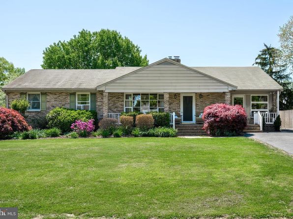


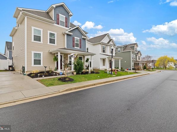
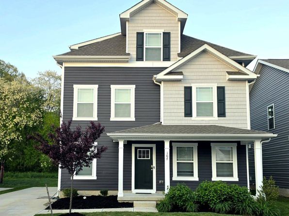
Crime & Safety Report for 107 Flying Cloud Dr, Chestertown, MD 21620

Review crime and safety information near 107 Flying Cloud Dr, Chestertown, MD 21620. HoodScore summarizes nearby reported incidents, registered sex offenders, and neighborhood safety indicators to help buyers and renters perform better location due diligence.

Generated At — 2026-07-25
Distance rings: 1 mi and 2 mi from the property.

PropertyIncidentsOffenders

Unlock the full safety report before making a decision about this neighborhood.

Full report contains 20 offenders within 5 miles and 115 crime incidents in the last 12 months.

20 Registered Sex Offenders within 5 miles Near 107 Flying Cloud Dr, Chestertown, MD 21620

20 Registered Offenders Nearby
2 Rape
4 Child Involved
1 Assault
14 Other
Photo Name / Age / Tags Arrest / Conviction Address Distance Risk
Offender photo

HART, HARRY LESTER

87 years old

CLA 3-308 - SEX OFFENSE 4TH DEGREE (3-308)

2024-12-30T04:24:04

201 CEDAR ST CHESTERTOWN, MD, 21620
0.5 High
Offender photo

KNIGHT, KENNETH WAYNE

42 years old

222 DOUBLE CREEK RD CHESTERTOWN, MD, 21620
4.8 Medium
Offender photo

STANDRIDGE, PATRICIA ANN

62 years old

93 CLIPPER WAY CHESTERTOWN, MD, 21620
0.5 High
Offender photo

WATERS, MICHAEL LAMAR

55 years old

Rapist

11050 BRINDLEY DR WORTON, MD, 21678
4.1 Medium
Offender photo

BLANKENSHIP, JAMES MARK

47 years old

Child Involved

CLA 3-602 - SEXUAL ABUSE OF A MINOR (3-602)

2025-08-28T20:04:04

1112A - SEXUAL SOLICIATATION OF A CHILD

2025-08-28T20:04:04

100 DIXON DR CHESTERTOWN, MD, 21620
1.2 Medium

115 Crime & Incidents in the Last 12 Months

115 Crime & Incidents by Severity
8 Severe
16 Medium
3 Low
88 Other
Crime Location (Approx.) Severity Description

Medical Emergency

07/16/2026 11:36 PM

Egret Ct, Chestertown, MD 21620

Unknown

As discussed during the dispatch call, responders dispatched for a medical lift assist for a male who fell near Egret Court. The male is not injured but needs help getting up. Rescuers advised to use universal precautions.

Fire

07/16/2026 10:26 PM

Byford Ct, Chestertown, MD 21620

MEDIUM

As discussed during the dispatch call, dispatch reports a possible smoke detector alarm at a location near Byford Court, with Squad 6 assigned to respond.

Fire

07/16/2026 09:09 PM

Maple Ave, Chestertown, MD 21620

MEDIUM

As discussed during the dispatch call, fire units and law enforcement responded to a series of apparent outside fires reported along a roadway between a rural convenience store and Round Top Road in the Chestertown area. Radio traffic indicated a female was reportedly walking along the road carrying a gas can and may have started multiple fires.

Fire

07/16/2026 09:02 PM

Church Hill Rd, Chestertown, MD 21620

MEDIUM

As discussed during the dispatch call, fire units are responding to a reported outside fire near a convenience store on Churchill Road in Queen Anne's County.

Fire

07/16/2026 08:59 PM

Church Hill Rd, Chestertown, MD 21620

MEDIUM

As discussed during the dispatch call, units respond to a reported outside fire near the Royal Farms on Churchill Road, where someone is reportedly trying to start fires and a woman is seen walking around with a gas can and newspapers.

Nearby Schools

Schools within 2 miles of this property, nearest first.

SchoolDistance
Kent County Middle School0.7 mi
H. H. Garnett Elementary1.1 mi

Similar properties in Chestertown

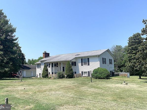
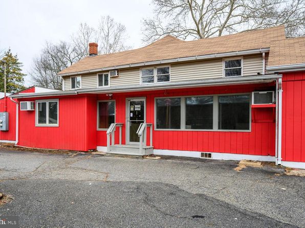
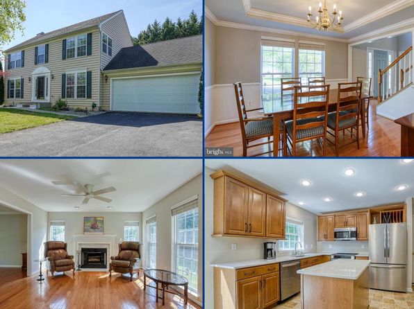
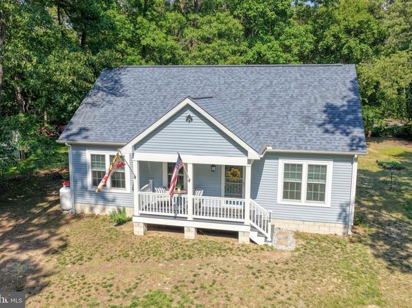
Other for-sale homes in Chestertown within about 20% of this listing's price. Open a property for a HoodScore safety preview.

$394,900
5 bd | 4 ba | 2,535 sqft
104 Flying Cloud Dr
Chestertown, MD, 21620
View Safety Report
$385,000
4 bd | 3 ba | 2,630 sqft
23043 Bay Shore Spur
Chestertown, MD, 21620
View Safety Report
$384,000
5 bd | 3 ba | 3,371 sqft
6746 Quaker Neck Rd
Chestertown, MD, 21620
View Safety Report
$429,999
4 bd | 2 ba | 1,656 sqft
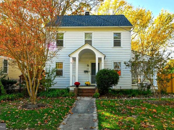
222 Mount Vernon Ave
Chestertown, MD, 21620
View Safety Report
$350,000
4 bd | 3 ba | 1,972 sqft
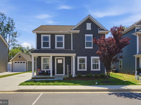
214 Silver Heel Rd
Chestertown, MD, 21620
View Safety Report

Frequently asked questions

Is 107 Flying Cloud Dr in a low-crime area?

The current report summarizes crime-related incidents within 5 miles during the last 12 months. HoodScore compares these records with relevant benchmarks, but no report can guarantee future safety.

Why are traffic and medical calls shown separately from crime?

Traffic, medical and fire records are public-safety incidents but are not necessarily crimes. HoodScore separates them to avoid overstating the crime count.

How often is this HoodScore report updated?

The report displays its generated date. Update frequency varies by source and is explained in the HoodScore methodology.

How is the HoodScore calculated?

HoodScore combines nearby crime and offender data into a neighborhood safety score. Visit https://www.hoodscore.com/hoodscore-calculator.html to see how the calculation works.