
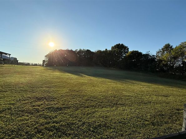
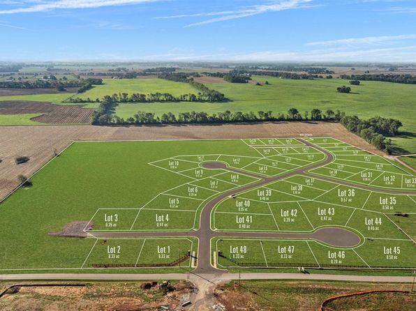
Crime & Safety Report for 48 Station Dr #Sub, Bowling Green, KY 42104

Review crime and safety information near 48 Station Dr #Sub, Bowling Green, KY 42104. HoodScore summarizes nearby reported incidents, registered sex offenders, and neighborhood safety indicators to help buyers and renters perform better location due diligence.

Generated At — 2026-07-25
Distance rings: 1 mi and 2 mi from the property.

PropertyIncidentsOffenders

Unlock the full safety report before making a decision about this neighborhood.

Full report contains 41 offenders within 5 miles and 1550 crime incidents in the last 12 months.

41 Registered Sex Offenders within 5 miles Near 48 Station Dr #Sub, Bowling Green, KY 42104

41 Registered Offenders Nearby
13 Rape
7 Child Involved
1 Assault
21 Other
Photo Name / Age / Tags Arrest / Conviction Address Distance Risk
Offender photo

BLAIR, JOSH LEROY

40 years old

Rapist

RAPE 3RD DEGREE

2024-09-03T14:10:08

80A PRESCOTT CT BOWLING GREEN, KY, 42101
4.8 Medium
Offender photo

CHILDRESS, CRAIG A

57 years old

CRIME FROM OTHER STATE,TERRITORY, OR COUNTRY

2024-09-03T14:10:08

1300 HENRY DR BOWLING GREEN, KY, 42101
4.3 Medium
Offender photo

DALTON, LEONARD DALE

58 years old

Rapist

SODOMY 1ST DEGREE

2024-09-03T14:10:08

2721 NASHVILLE RD LOT 28 BOWLING GREEN, KY, 42101
4.1 Medium
Offender photo

HANN, SAMUEL YARDLEY

35 years old

Child Involved

POSSESSION OF MATTER PORTRAYING A SEXUAL PERFORMANCE BY A MINOR

2024-09-03T14:10:08

2129 SOUTHLAND DR BOWLING GREEN, KY, 42101
4.9 Medium
Offender photo

HUFF, RICHARD PAUL

52 years old

CRIME FROM OTHER STATE,TERRITORY, OR COUNTRY

2024-09-03T14:10:08

2708 NAVAJO CT UNIT 1 BOWLING GREEN, KY, 42101
3.7 Medium

1550 Crime & Incidents in the Last 12 Months

1550 Crime & Incidents by Severity
193 Severe
214 Medium
486 Low
657 Other
Crime Location (Approx.) Severity Description

Traffic

07/16/2026 10:00 PM

Campbell Ln, Bowling Green, KY

LOW

As discussed during the dispatch call, an officer reports a possible traffic stop involving a motorist near Russellville Road and Campbell Lane in Bowling Green, Kentucky.

Suspicious Activity

07/16/2026 09:02 PM

Trenton Ln, Bowling Green, KY 42103

MEDIUM

As discussed during the dispatch call, officers were dispatched to an apartment on Trenton Way in Bowling Green for a possible prowler after a caller reported someone banging on their window. The reporting party did not see the person, and officers later indicated the situation appeared to be under control following a 911 check.

Theft Report

07/16/2026 08:55 PM

Walton Ave, Bowling Green, KY 42104

Unknown

As discussed during the dispatch call, officers were dispatched to a store on Walton Avenue for a possible shoplifting and trespass situation involving an intoxicated man who reportedly failed to pay for a beer at self-checkout. Staff stated he may have done this earlier in the day and wanted him banned from the store. The man left with another male and was last reported heading toward a nearby gas station in a white cargo van.

Traffic

07/16/2026 08:32 PM

High St, Bowling Green, KY 42101

LOW

As discussed during the dispatch call, an officer requested to be added to a prior collision at a high school and asked that a related report be linked to the incident near High St in Bowling Green, Kentucky.

Suspicious Activity

07/16/2026 08:26 PM

Cave Mill Rd, Bowling Green, KY 42104

MEDIUM

As discussed during the dispatch call, officers checked a backpack left on the ground near a shopping cart at a business. The person nearby said it did not belong to him, and it was treated as possible abandoned property after a hammer was seen inside.

Nearby Schools

Schools within 2 miles of this property, nearest first.

SchoolDistance
Greenwood High School0.5 mi
Drakes Creek Middle School0.5 mi

Similar properties in Bowling Green

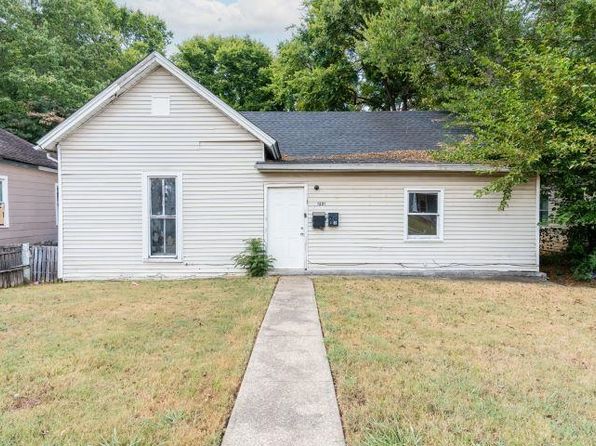
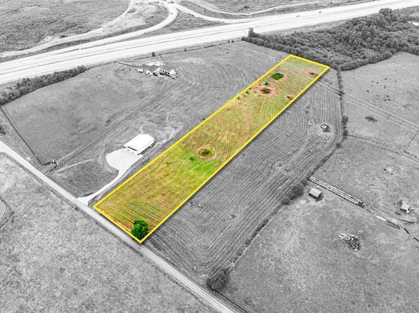
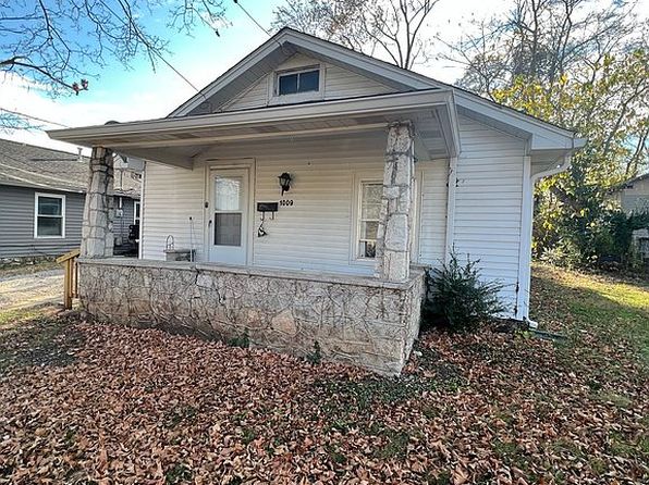
Other for-sale homes in Bowling Green within about 20% of this listing's price. Open a property for a HoodScore safety preview.

Frequently asked questions

Is 48 Station Dr #Sub in a low-crime area?

The current report summarizes crime-related incidents within 5 miles during the last 12 months. HoodScore compares these records with relevant benchmarks, but no report can guarantee future safety.

Why are traffic and medical calls shown separately from crime?

Traffic, medical and fire records are public-safety incidents but are not necessarily crimes. HoodScore separates them to avoid overstating the crime count.

How often is this HoodScore report updated?

The report displays its generated date. Update frequency varies by source and is explained in the HoodScore methodology.

How is the HoodScore calculated?

HoodScore combines nearby crime and offender data into a neighborhood safety score. Visit https://www.hoodscore.com/hoodscore-calculator.html to see how the calculation works.