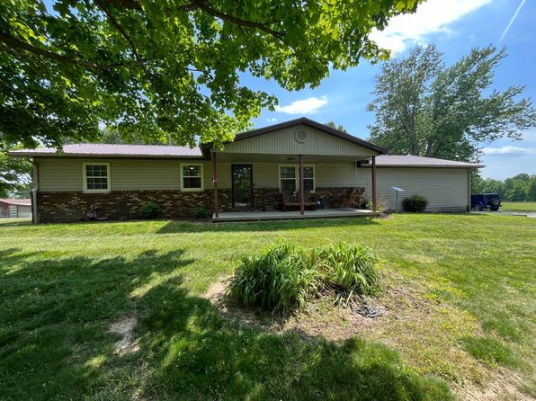



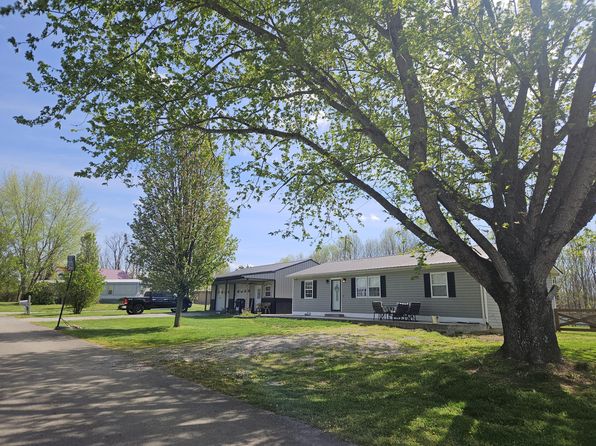
Crime & Safety Report for 137 Wall St, Liberty, KY 42539

Review crime and safety information near 137 Wall St, Liberty, KY 42539. HoodScore summarizes nearby reported incidents, registered sex offenders, and neighborhood safety indicators to help buyers and renters perform better location due diligence.

Generated At — 2026-07-25
Distance rings: 1 mi and 2 mi from the property.

PropertyIncidentsOffenders

Unlock the full safety report before making a decision about this neighborhood.

Full report contains 17 offenders within 5 miles and 36 crime incidents in the last 12 months.

17 Registered Sex Offenders within 5 miles Near 137 Wall St, Liberty, KY 42539

17 Registered Offenders Nearby
12 Rape
1 Child Involved
1 Assault
4 Other
Photo Name / Age / Tags Arrest / Conviction Address Distance Risk
Offender photo

PROPES, DONALD D

72 years old

Rapist

Violent

PREDATORY CRIMINAL SEXUAL ASSAULT

2024-10-25T06:34:59

491 WALTER HUFF LIBERTY, KY, 42539
2.3 Medium
Offender photo

BRYANT, PHILLIP

51 years old

Rapist

ATTEMPT - RAPE 1ST DEGREE

2024-09-03T14:10:08

CASEY CO DET CTR LIBERTY, KY, 42539
0.4 High
Offender photo

COOK, ANDREW JEFFREY

39 years old

Rapist

RAPE 3RD DEGREE

2024-09-03T14:10:08

2596 DRY RIDGE RD LIBERTY, KY, 42539
2.9 Medium
Offender photo

EDWARDS, OWEN RUFFUS

83 years old

Rapist

ATTEMPTED -SEXUAL ABUSE 1ST DEGREE

2024-09-03T14:10:08

ATTEMPTED -SEXUAL ABUSE 1ST DEGREE

2024-09-03T14:10:08

723 HUSTONVILLE ST APT #2 LIBERTY, KY, 42539
0.2 High
Offender photo

EVANS, BRIAN KEITH

52 years old

Child Involved

POSSESSION OF MATTER PORTRAYING A SEXUAL PERFORMANCE BY A MINOR

2024-09-03T14:10:08

569 KY 49 HWY LIBERTY, KY, 42539
0.4 High

36 Crime & Incidents in the Last 12 Months

36 Crime & Incidents by Severity
6 Severe
1 Medium
3 Low
26 Other
Crime Location (Approx.) Severity Description

Medical Emergency

07/16/2026 05:23 PM

Wolford Ave, Liberty, KY 42539

Unknown

As discussed during the dispatch call, a 51-year-old female patient with sepsis and possible infection was transported by basic life support from Casey County Hospital to KER.

Fire

07/14/2026 06:44 PM

E State Hwy 70, Liberty, KY 42539

MEDIUM

As discussed during the dispatch call, liberty fire units responded to a reported fire alarm at Casey County Middle School along State Highway 70, with the alarm company indicating activity in zones two and four and no contact yet with key holders.

Medical Emergency

07/14/2026 01:23 PM

Wolford Ave, Liberty, KY 42539

Unknown

As discussed during the dispatch call, eMS unit transported a patient from a nursing home to Casey County Hospital emergency room, reporting vital signs including blood pressure and oxygen levels during transport.

Medical Emergency

07/10/2026 02:20 AM

Wolford Ave, Liberty, KY 42539

Unknown

As discussed during the dispatch call, a middle-aged female experienced a nosebleed near Wolford Avenue in Liberty. Bleeding had stopped and pressure with ice was applied. Vital signs were recorded, and no further treatment was requested upon arrival at the hospital.

Medical Emergency

07/04/2026 06:29 PM

Wolford Ave, Liberty, KY 42539

Unknown

As discussed during the dispatch call, emergency medical staff were dispatched to a hospital in Liberty for a reported suicidal woman. An ambulance unit transported a patient to another medical facility around 9:30 p.m.

Nearby Schools

Schools within 2 miles of this property, nearest first.

SchoolDistance
Liberty Elementary School0.5 mi
Casey County Middle School1.6 mi
Casey County Area Technology Center1.6 mi
Casey County High School1.7 mi

Similar properties in Liberty

Other for-sale homes in Liberty within about 20% of this listing's price. Open a property for a HoodScore safety preview.

$185,000
3 bd | 2 ba | 1,290 sqft
1115 Upper Brush Creek Rd
Liberty, KY, 42539
View Safety Report
$185,000
3 bd | 2 ba | 1,280 sqft
1135 Upper Brush Creek Rd
Liberty, KY, 42539
View Safety Report
$250,000
3 bd | 1 ba | 1,400 sqft
5850 State Highway 1859
Liberty, KY, 42539
View Safety Report

Frequently asked questions

Is 137 Wall St in a low-crime area?

The current report summarizes crime-related incidents within 5 miles during the last 12 months. HoodScore compares these records with relevant benchmarks, but no report can guarantee future safety.

Why are traffic and medical calls shown separately from crime?

Traffic, medical and fire records are public-safety incidents but are not necessarily crimes. HoodScore separates them to avoid overstating the crime count.

How often is this HoodScore report updated?

The report displays its generated date. Update frequency varies by source and is explained in the HoodScore methodology.

How is the HoodScore calculated?

HoodScore combines nearby crime and offender data into a neighborhood safety score. Visit https://www.hoodscore.com/hoodscore-calculator.html to see how the calculation works.