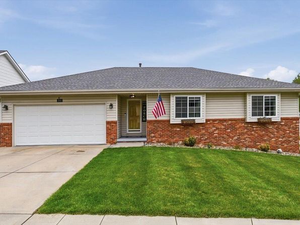



Crime & Safety Report for 511 6th St, Glenwood, IA 51534

Review crime and safety information near 511 6th St, Glenwood, IA 51534. HoodScore summarizes nearby reported incidents, registered sex offenders, and neighborhood safety indicators to help buyers and renters perform better location due diligence.

Generated At — 2026-07-25
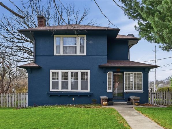
Distance rings: 1 mi and 2 mi from the property.

PropertyIncidentsOffenders

Unlock the full safety report before making a decision about this neighborhood.

Full report contains 11 offenders within 5 miles and 116 crime incidents in the last 12 months.

11 Registered Sex Offenders within 5 miles Near 511 6th St, Glenwood, IA 51534

11 Registered Offenders Nearby
1 Rape
7 Child Involved
2 Assault
3 Other
Photo Name / Age / Tags Arrest / Conviction Address Distance Risk
Offender photo

HUNTOON, JOSEPH DANIEL

48 years old

Child Involved

Violent

709,11 Assault with intent to commit sexual abuse

2024-09-03T13:50:15

709,14 Lascivious conduct with a minor

2024-09-03T13:50:15

709,9 Indecent exposure

2024-09-03T13:50:15

708,2 Assault

2024-09-03T13:50:15

53461 ELROD RD GLENWOOD, IA, 51534
4 Medium
Offender photo

GORDON, CHRISTOPHER RAY

48 years old

Child Involved

709,8 Lascivious acts with a child

2024-09-03T13:50:15

709,8 Lascivious acts with a child

2024-09-03T13:50:15

1212 ARBOR LN GLENWOOD, IA, 51534
0.4 High
Offender photo

KELLER, ADAM EUGENE

40 years old

Child Involved

709,8 Lascivious acts with a child

2024-09-03T13:50:15

814 5TH ST GLENWOOD, IA, 51534
0.2 High
Offender photo

LORD, ZANE SCOTT

31 years old

709,8 Lascivious act solicit

2024-09-03T13:50:15

101 1/2 GREEN ST APT A GLENWOOD, IA, 51534
0.8 High
Offender photo

WHITE, RICHARD MICHAEL

51 years old

Child Involved

21 GARFIELD LN GLENWOOD, IA, 51571
1 Medium

116 Crime & Incidents in the Last 12 Months

116 Crime & Incidents by Severity
15 Severe
15 Medium
23 Low
63 Other
Crime Location (Approx.) Severity Description

Fire

07/16/2026 02:02 PM

Clover Ln, Glenwood, IA 51534

MEDIUM

As discussed during the dispatch call, fire personnel responded to a home near Clover Lane for carbon monoxide alarms repeatedly sounding, with reports that no one on scene appeared to feel ill and that the alarms were going off while no one was present.

Traffic

07/14/2026 08:41 PM

4th St & N Walnut St, Glenwood, IA 51534

LOW

As discussed during the dispatch call, an officer conducted a possible K9 traffic stop near Fourth Street and North Walnut Street involving a specific vehicle plate.

Suspicious Activity

07/14/2026 05:49 PM

Garfield Ln, Glenwood, IA 51534

MEDIUM

As discussed during the dispatch call, deputies responded to a reported trespassing dispute at a trailer near Garfield Lane in Glenwood, Iowa. The reporting party said people who had been guests were refusing to leave and had threatened to damage the trailer. After speaking with those involved, deputies indicated it appeared to be a miscommunication and cleared the scene.

Fire

07/14/2026 06:54 AM

4th St, Glenwood, IA 51534

MEDIUM

As discussed during the dispatch call, fire units were dispatched to an apparent fire alarm at an apartment building on Fourth Street in Glenwood. Crews responded to a reported active alarm at one of the apartments, and a female occupant was said to have exited the unit.

Fire

07/14/2026 06:53 AM

4th St, Glenwood, IA 51534

MEDIUM

As discussed during the dispatch call, fire and rescue units were sent to a reported fire alarm at an apartment on 4th Street in Glenwood. A female occupant had already exited the apartment when responders were en route.

Nearby Schools

Schools within 2 miles of this property, nearest first.

SchoolDistance
Northeast Elementary School0.3 mi
West Elementary School0.5 mi
Glenwood Middle School0.5 mi
Glenwood Senior High School0.7 mi

Similar properties in Glenwood

Other for-sale homes in Glenwood within about 20% of this listing's price. Open a property for a HoodScore safety preview.

Frequently asked questions

Is 511 6th St in a low-crime area?

The current report summarizes crime-related incidents within 5 miles during the last 12 months. HoodScore compares these records with relevant benchmarks, but no report can guarantee future safety.

Why are traffic and medical calls shown separately from crime?

Traffic, medical and fire records are public-safety incidents but are not necessarily crimes. HoodScore separates them to avoid overstating the crime count.

How often is this HoodScore report updated?

The report displays its generated date. Update frequency varies by source and is explained in the HoodScore methodology.

How is the HoodScore calculated?

HoodScore combines nearby crime and offender data into a neighborhood safety score. Visit https://www.hoodscore.com/hoodscore-calculator.html to see how the calculation works.