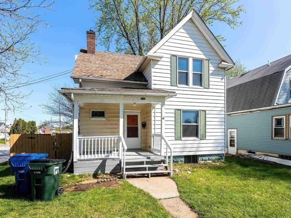
Crime & Safety Report for 252 W 29th St, Davenport, IA 52803

Review crime and safety information near 252 W 29th St, Davenport, IA 52803. HoodScore summarizes nearby reported incidents, registered sex offenders, and neighborhood safety indicators to help buyers and renters perform better location due diligence.

Generated At — 2026-07-26
Distance rings: 1 mi and 2 mi from the property.

PropertyIncidentsOffenders

Unlock the full safety report before making a decision about this neighborhood.

Full report contains 490 offenders within 5 miles and 1880 crime incidents in the last 12 months.

490 Registered Sex Offenders within 5 miles Near 252 W 29th St, Davenport, IA 52803

490 Registered Offenders Nearby
56 Rape
210 Child Involved
144 Assault
150 Other
Photo Name / Age / Tags Arrest / Conviction Address Distance Risk
Offender photo

BYRNE, JENNIFER A

33 years old

Child Involved

2329 20TH ONE HALF AVE ROCK ISLAND, IL, 61201
4 Medium
Offender photo

WILKINSON, LARRY T JR

50 years old

Rapist

Violent

1538 13TH AV UPPER MOLINE, IL, 61265
4.8 Medium
Offender photo

POWELL, ANTHONY F

40 years old

Rapist

Violent

HMLS HOMELESS MOLINE, IL, 61265
4.9 Medium
Offender photo

REDMAN, CODY

29 years old

Child Involved

6220 N BRADY ST DAVENPORT, IA, 52806
2.4 Medium
Offender photo

SCARBROUGH, RYAN R

28 years old

Child Involved

1201 RIVER DR MOLINE, IL, 61265
4.1 Medium

1880 Crime & Incidents in the Last 12 Months

1880 Crime & Incidents by Severity
192 Severe
80 Medium
214 Low
1394 Other
Crime Location (Approx.) Severity Description

Medical Emergency

07/16/2026 10:44 PM

W 15th St, Davenport, IA 52804

Unknown

As discussed during the dispatch call, emergency medical services responded to a fall with an ankle injury near West 15th Street in Davenport, Iowa.

Traffic

07/16/2026 09:52 PM

IA-130, Davenport, IA

LOW

As discussed during the dispatch call, radio traffic indicates troopers were notified of a possible wrong-way driver on an interstate and later a unit reported being at an apparent crash on Highway 130 near Highway 61, just west of 61, and requested another unit to respond.

Fire

07/16/2026 09:42 PM

W 4th St b, Davenport, IA 52802

MEDIUM

As discussed during the dispatch call, fire crews responded to a reported structure fire at an address on West 4th Street in Davenport. The fire was brought under control, but crews continued overhaul operations with two hose lines deployed and positive pressure ventilation in use. Units reported fire involvement in the basement and conducted primary and secondary searches. A resident reportedly has Parkinson’s disease and may have needed assistance getting out of the home. Additional units were dispatched to a separate structure fire on 17th Street in Rock Island.

Medical Emergency

07/16/2026 09:38 PM

W 43rd St d, Davenport, IA 52806

Unknown

As discussed during the dispatch call, emergency medical services responded to a sick person near West 43rd Street, apartment D.

Medical Emergency

07/16/2026 09:18 PM

East St, Davenport, IA 52803

Unknown

As discussed during the dispatch call, emergency medical services responded to a call at the Big E lot near South Main Street. The exact medical issue was not stated.

Nearby Schools

Schools within 2 miles of this property, nearest first.

SchoolDistance
Garfield Elementary School0.8 mi
Madison Elementary School0.8 mi
Mid City High0.9 mi
Adams Elementary School1.2 mi
Central High School1.3 mi
Williams Intermediate1.3 mi
Sudlow Intermediate1.3 mi
Washington Elementary School1.5 mi
Jefferson Elementary School1.5 mi
North High School1.8 mi
Harrison Elementary School1.8 mi
Eisenhower Elementary School1.9 mi
Children's Village West1.9 mi
Children's Village At Hoover2.0 mi

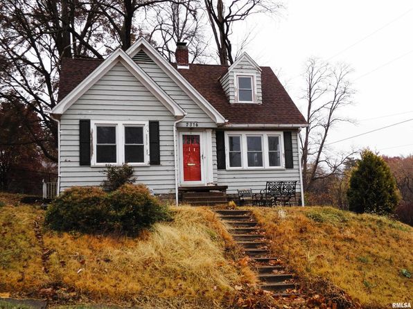
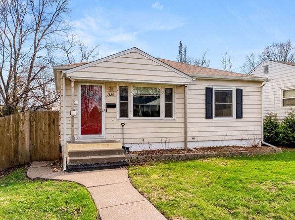
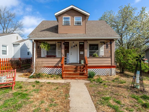
Similar properties in Davenport

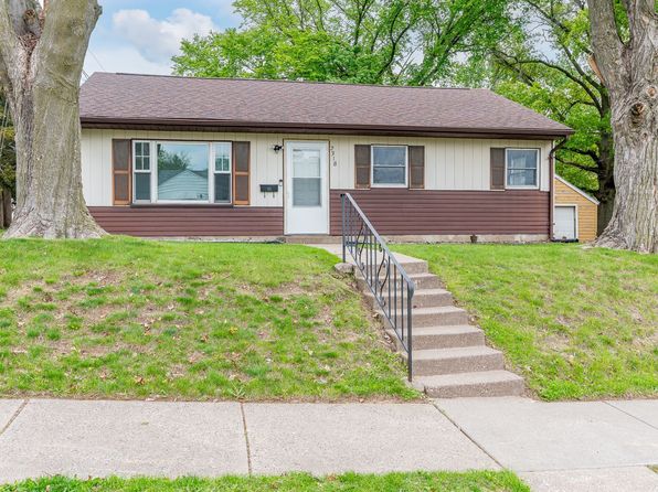
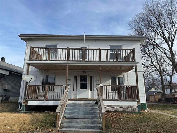
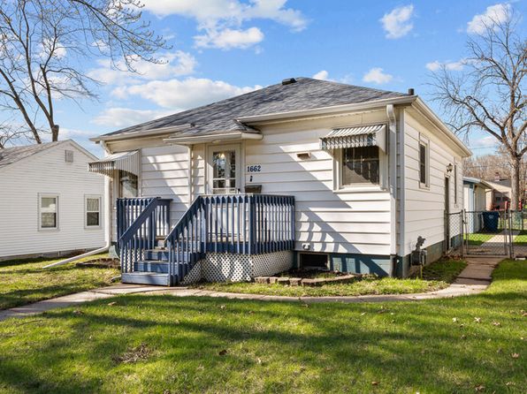
Other for-sale homes in Davenport within about 20% of this listing's price. Open a property for a HoodScore safety preview.

$150,000
3 bd | 2 ba | 1,568 sqft
2111 Mississippi Ave
Davenport, IA, 52803
View Safety Report
$150,000
3 bd | 1 ba | 1,344 sqft
2318 N Sturdevant St
Davenport, IA, 52804
View Safety Report

Frequently asked questions

Is 252 W 29th St in a low-crime area?

The current report summarizes crime-related incidents within 5 miles during the last 12 months. HoodScore compares these records with relevant benchmarks, but no report can guarantee future safety.

Why are traffic and medical calls shown separately from crime?

Traffic, medical and fire records are public-safety incidents but are not necessarily crimes. HoodScore separates them to avoid overstating the crime count.

How often is this HoodScore report updated?

The report displays its generated date. Update frequency varies by source and is explained in the HoodScore methodology.

How is the HoodScore calculated?

HoodScore combines nearby crime and offender data into a neighborhood safety score. Visit https://www.hoodscore.com/hoodscore-calculator.html to see how the calculation works.