

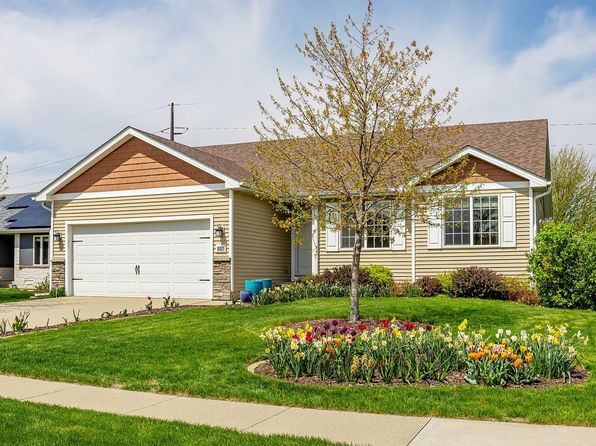
Crime & Safety Report for 12208 Madison Ave, Urbandale, IA 50323

Review crime and safety information near 12208 Madison Ave, Urbandale, IA 50323. HoodScore summarizes nearby reported incidents, registered sex offenders, and neighborhood safety indicators to help buyers and renters perform better location due diligence.

Generated At — 2026-07-26

Distance rings: 1 mi and 2 mi from the property.

PropertyIncidentsOffenders

Unlock the full safety report before making a decision about this neighborhood.

Full report contains 89 offenders within 5 miles and 906 crime incidents in the last 12 months.

89 Registered Sex Offenders within 5 miles Near 12208 Madison Ave, Urbandale, IA 50323

89 Registered Offenders Nearby
2 Rape
39 Child Involved
26 Assault
26 Other
Photo Name / Age / Tags Arrest / Conviction Address Distance Risk
Offender photo

MASIGAN, NOEL DOMINIQUE CUREG

52 years old

Violent

709,11 Assault with intent to commit sexual abuse

2024-09-03T13:50:15

1423 57TH PL DES MOINES, IA, 50311
5 Medium
Offender photo

VLACK, JEFFREY STEWART

56 years old

Child Involved

709,8 Lascivious acts with a child

2024-09-03T13:50:15

955 63RD ST DES MOINES, IA, 50312
4.9 Medium
Offender photo

BEAL, IAN JAVIER

22 years old

Child Involved

9001 OAKWOOD DR URBANDALE, IA, 50322
2.6 Medium
Offender photo

BELZER, JACOB CHRISTOPHER

32 years old

Violent

5900 SUTTON PL RM 221 URBANDALE, IA, 50322
4.6 Medium
Offender photo

BENGTSON, BRIAN JAMES

30 years old

15403 WINSTON AVE URBANDALE, IA, 50323
2.3 Medium

906 Crime & Incidents in the Last 12 Months

906 Crime & Incidents by Severity
126 Severe
113 Medium
196 Low
471 Other
Crime Location (Approx.) Severity Description

Traffic

07/16/2026 10:08 PM

80th St, West Des Moines, IA 50266

LOW

As discussed during the dispatch call, fire crews and law enforcement responded to an apparent minor vehicle crash on eastbound Interstate 80 near mile marker 114 to help an elderly person get out of a vehicle. The person was reported not to be trapped and the situation was described as non-emergent.

Traffic

07/16/2026 09:13 PM

80th St, West Des Moines, IA 50266

LOW

As discussed during the dispatch call, units respond to a reported crash on I-80 eastbound near mile marker 414 involving a four-door sedan that apparently struck the median. Dispatchers check with Dallas County about any lane blockage and possible injuries.

Medical Emergency

07/16/2026 08:49 PM

SE Gateway Dr, Grimes, IA 50111

Unknown

As discussed during the dispatch call, a medical call for an unknown problem was reported near Southeast Gateway Drive between Southeast 8th Street and Southeast Gateway Circle. Units were dispatched but later told to disregard the call.

Suspicious Activity

07/16/2026 08:23 PM

63rd St, Des Moines, IA 50322

MEDIUM

As discussed during the dispatch call, officers were dispatched to a possible suspicious situation at an apartment on 63rd Street in Des Moines after a caller reported hearing female voices inside a unit that was believed to be vacant.

Disturbance

07/16/2026 07:28 PM

Woodland Ave, West Des Moines, IA 50266

Unknown

As discussed during the dispatch call, officers respond to a possible property dispute at a residence on Woodland Avenue, where people are meeting to retrieve belongings.

Nearby Schools

Schools within 2 miles of this property, nearest first.

SchoolDistance
Webster Elementary School0.8 mi

Similar properties in Urbandale

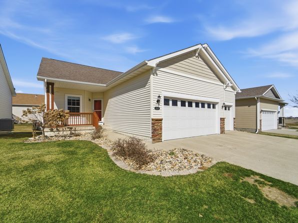
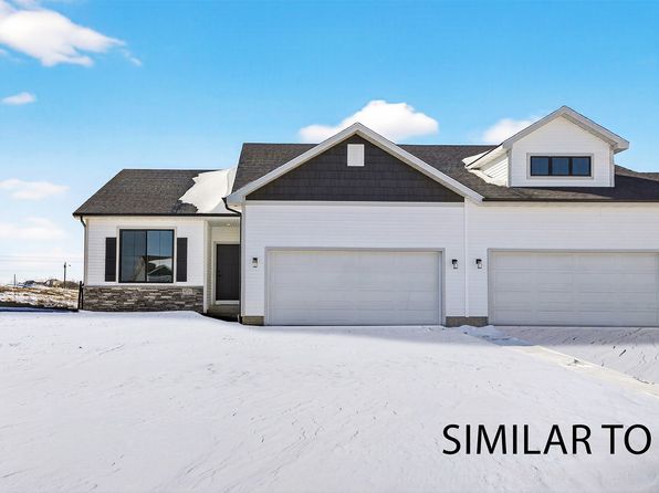
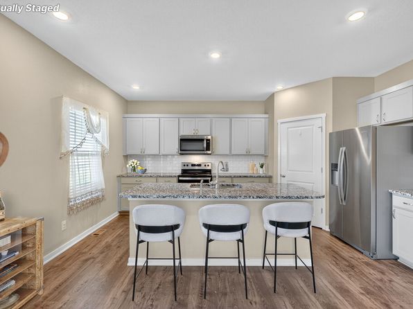
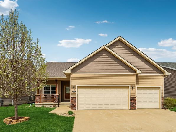
Other for-sale homes in Urbandale within about 20% of this listing's price. Open a property for a HoodScore safety preview.

$374,900
3 bd | 3 ba | 1,590 sqft
16716 Walnut Meadows Cir
Urbandale, IA, 50323
View Safety Report
$375,000
3 bd | 3 ba | 1,590 sqft
16720 Walnut Meadows Cir
Urbandale, IA, 50323
View Safety Report
$379,900
3 bd | 3 ba | 1,595 sqft
16712 Walnut Meadows Cir
Urbandale, IA, 50323
View Safety Report
$380,000
3 bd | 3 ba | 1,595 sqft
16708 Walnut Meadows Cir
Urbandale, IA, 50323
View Safety Report

Frequently asked questions

Is 12208 Madison Ave in a low-crime area?

The current report summarizes crime-related incidents within 5 miles during the last 12 months. HoodScore compares these records with relevant benchmarks, but no report can guarantee future safety.

Why are traffic and medical calls shown separately from crime?

Traffic, medical and fire records are public-safety incidents but are not necessarily crimes. HoodScore separates them to avoid overstating the crime count.

How often is this HoodScore report updated?

The report displays its generated date. Update frequency varies by source and is explained in the HoodScore methodology.

How is the HoodScore calculated?

HoodScore combines nearby crime and offender data into a neighborhood safety score. Visit https://www.hoodscore.com/hoodscore-calculator.html to see how the calculation works.