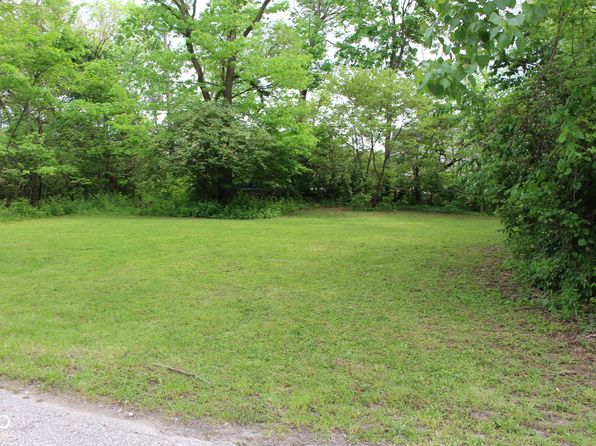
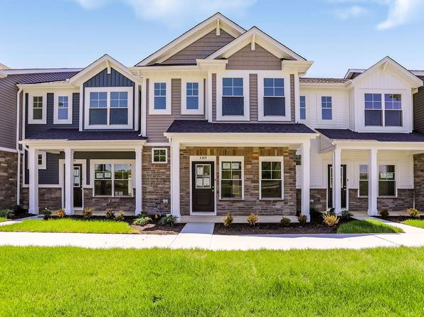
Crime & Safety Report for 3477 Lehigh Ave, Westfield, IN 46074

Review crime and safety information near 3477 Lehigh Ave, Westfield, IN 46074. HoodScore summarizes nearby reported incidents, registered sex offenders, and neighborhood safety indicators to help buyers and renters perform better location due diligence.

Generated At — 2026-07-25
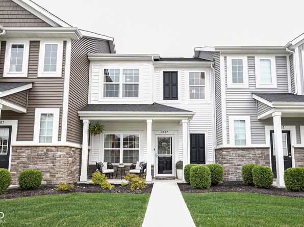
Distance rings: 1 mi and 2 mi from the property.

PropertyIncidentsOffenders

Unlock the full safety report before making a decision about this neighborhood.

Full report contains 30 offenders within 5 miles and 547 crime incidents in the last 12 months.

30 Registered Sex Offenders within 5 miles Near 3477 Lehigh Ave, Westfield, IN 46074

30 Registered Offenders Nearby
0 Rape
19 Child Involved
7 Assault
5 Other
Photo Name / Age / Tags Arrest / Conviction Address Distance Risk
Offender photo

GRAY, IAN ALEXANDER

42 years old

Child Involved

1470 W TOURNAMENT TRL WESTFIELD, IN, 46074
4.5 Medium
Offender photo

LANDIS, JAMES WORTH

40 years old

Child Involved

965 E TOURNAMENT TRL WESTFIELD, IN, 46074
2.5 Medium
Offender photo

WILLIAMS, AMANDA LYNN

52 years old

Child Involved

655 WESTFIELD RD NOBLESVILLE, IN, 46060
4.5 Medium
Offender photo

MYERS, JAMES MARION

69 years old

4265 COOK AVE WESTFIELD, IN, 46062
1 Medium
Offender photo

MERRILL, SCOTT DOUGLAS

59 years old

Child Involved

501 KENNARD LN WESTFIELD, IN, 46074
3.4 Medium

547 Crime & Incidents in the Last 12 Months

547 Crime & Incidents by Severity
90 Severe
32 Medium
26 Low
399 Other
Crime Location (Approx.) Severity Description

Medical Emergency

07/16/2026 08:57 PM

IN-32, Westfield, IN 46074

Unknown

As discussed during the dispatch call, a person appears to have been injured due to a fall near East State Road 32 close to Prairie Baptist Road and Cynthia.

Medical Emergency

07/16/2026 08:37 PM

IN-32, Westfield, IN 46074

Unknown

As discussed during the dispatch call, emergency services responded to an injured person who fell near Tall Timbers at State Road 32. Units including ambulance, engine, and squad were dispatched.

Medical Emergency

07/16/2026 07:46 PM

S Harbour Dr, Noblesville, IN 46062

Unknown

As discussed during the dispatch call, an injured person due to a fall is reported near S Harbour Dr with cross streets Elmwood Cir and Ashton Way in Noblesville.

Medical Emergency

07/16/2026 06:49 PM

Allandale Ave, Westfield, IN 46074

Unknown

As discussed during the dispatch call, emergency crews were dispatched to a possible hemorrhage or laceration at a location on Allendale Avenue near Cowley Drive, Maury Street, and Seaford Way in Westfield, Indiana.

Medical Emergency

07/16/2026 05:09 PM

N Union St, Westfield, IN 46074

Unknown

As discussed during the dispatch call, a person is injured after a fall near (number withheld) North Union Street, Navelhart Village, at the intersection of Navelhart Drive and North Walk Circle. Medic 3A4 was dispatched.

Nearby Schools

Schools within 2 miles of this property, nearest first.

SchoolDistance
Washington Woods Elementary School1.4 mi
Options Westfield1.7 mi
Virginia F. Wood Early Learning Center1.7 mi
Westfield High School1.7 mi
Monon Trail Elementary School1.7 mi
Westfield Middle School1.9 mi

Similar properties in Westfield

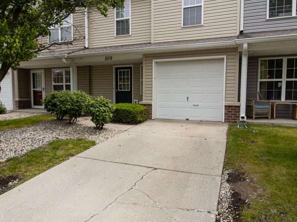
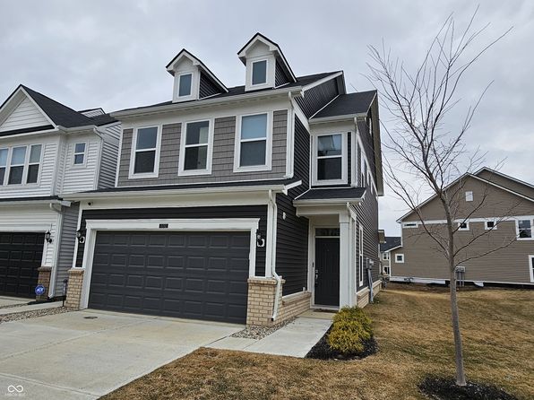
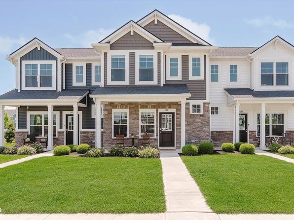
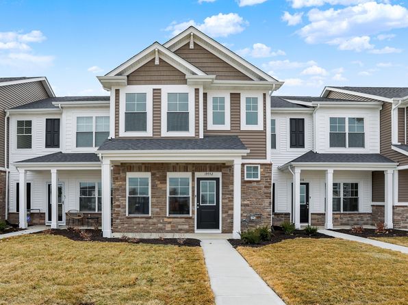
Other for-sale homes in Westfield within about 20% of this listing's price. Open a property for a HoodScore safety preview.

$274,900
2 bd | 2 ba | 1,418 sqft
3412 Thomas Jefferson St
Westfield, IN, 46074
View Safety Report
$275,000
2 bd | 1 ba | 1,100 sqft
3837 W State Road 32
Westfield, IN, 46074
View Safety Report
$259,900
2 bd | 2 ba | 1,197 sqft
3491 Thomas Jefferson St
Westfield, IN, 46074
View Safety Report
$249,000
2 bd | 3 ba | 1,276 sqft
524 Carroll Dr #1704
Westfield, IN, 46074
View Safety Report
$300,000
3 bd | 3 ba | 1,896 sqft
18762 Terra Vista Pl
Westfield, IN, 46074
View Safety Report
$304,995
3 bd | 3 ba | 1,622 sqft
3643 Thomas Jefferson St
Westfield, IN, 46074
View Safety Report

Frequently asked questions

Is 3477 Lehigh Ave in a low-crime area?

The current report summarizes crime-related incidents within 5 miles during the last 12 months. HoodScore compares these records with relevant benchmarks, but no report can guarantee future safety.

Why are traffic and medical calls shown separately from crime?

Traffic, medical and fire records are public-safety incidents but are not necessarily crimes. HoodScore separates them to avoid overstating the crime count.

How often is this HoodScore report updated?

The report displays its generated date. Update frequency varies by source and is explained in the HoodScore methodology.

How is the HoodScore calculated?

HoodScore combines nearby crime and offender data into a neighborhood safety score. Visit https://www.hoodscore.com/hoodscore-calculator.html to see how the calculation works.