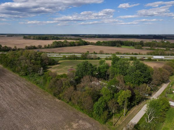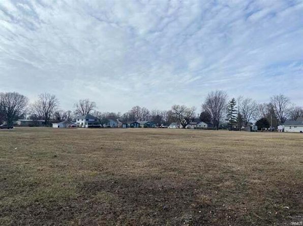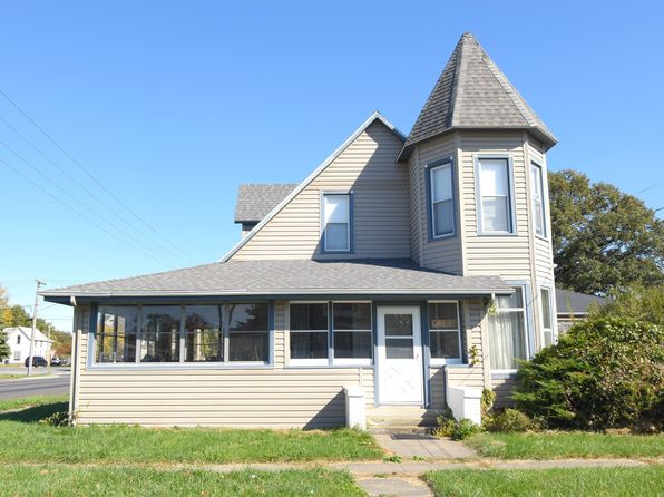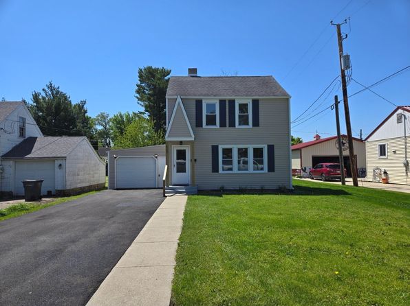
Crime & Safety Report for 0 W County Road 400 N, Rensselaer, IN 47978

Review crime and safety information near 0 W County Road 400 N, Rensselaer, IN 47978. HoodScore summarizes nearby reported incidents, registered sex offenders, and neighborhood safety indicators to help buyers and renters perform better location due diligence.

Generated At — 2026-07-26
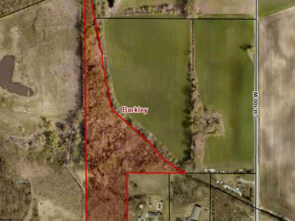
Distance rings: 1 mi and 2 mi from the property.

PropertyIncidentsOffenders

Unlock the full safety report before making a decision about this neighborhood.

Full report contains 5 offenders within 5 miles and 58 crime incidents in the last 12 months.

5 Registered Sex Offenders within 5 miles Near 0 W County Road 400 N, Rensselaer, IN 47978

5 Registered Offenders Nearby
0 Rape
3 Child Involved
1 Assault
1 Other
Photo Name / Age / Tags Arrest / Conviction Address Distance Risk
Offender photo

WRIGHT, ROBERT STEVE

35 years old

Violent

35-42-4-8 - Sexual Battery

2025-08-28T19:59:40

7065 N STATE ROAD 49 WHEATFIELD, IN, 46392
3.3 Medium
Offender photo

EMMONS, RICHARD EUGENE

55 years old

Child Involved

18.2-370 - Taking Indecent Liberties with Minor Sexual Motivation

2025-08-28T19:48:13

1975 N 100 W RENSSELAER, IN, 47978
2 Medium
Offender photo

MARTIN, MAXIMILLIAN

55 years old

451 W 700 N RENSSELAER, IN, 47978
2.8 Medium
Offender photo

FANT, JACOB CLAYTON

47 years old

Child Involved

Statue - 35-42-4-4(C), Charge - Possession of Child Pornography Sexual Motivation

2024-12-17T07:36:32

4205 N US HIGHWAY 231 RENSSELAER, IN, 47978
4.2 Medium
Offender photo

SCHULTZ, HERBERT M

66 years old

Child Involved

Statue - 35-42-4-3, Charge - Child Molesting

2024-12-17T07:36:32

4829 N STATE ROAD 49 RENSSELAER, IN, 47978
1.6 Medium

58 Crime & Incidents in the Last 12 Months

58 Crime & Incidents by Severity
7 Severe
13 Medium
12 Low
26 Other
Crime Location (Approx.) Severity Description

Medical Emergency

07/16/2026 11:53 AM

County Rd 500 N, Indiana 47978

Unknown

As discussed during the dispatch call, fire department and ambulance responded to a medical emergency near County Road 500 North. Responders assisted in moving the patient, who was to be transported by ambulance shortly.

Traffic

07/14/2026 02:24 PM

County Rd 100 E, Rensselaer, IN 47978

LOW

As discussed during the dispatch call, radio traffic indicates a single vehicle crash near US 421 and County Road 100 North, with heavy front-end damage and at least one patient. Fire, rescue, and medical units responded, and medical personnel later cleared the scene, leaving law enforcement in charge.

Traffic

07/12/2026 01:45 PM

IN-14, Rensselaer, IN 47978

LOW

As discussed during the dispatch call, officers responded to a possible two-vehicle property-damage crash near the end of an interstate ramp by State Road 14, involving a Toyota Sienna and a Honda Accord.

Traffic

07/12/2026 12:07 AM

W 600 N, Rensselaer, IN 47978

LOW

As discussed during the dispatch call, responders discussed a dark brown or tan vehicle or item and confirmed it belonged at a residence off West 600 North. Units coordinated how to use the driveway and position vehicles, including tankers, for access to the scene near that location.

Traffic

07/10/2026 02:08 PM

State Rte 49, Rensselaer, IN 47978

LOW

As discussed during the dispatch call, officers conducted a traffic stop near State Route 49 in the Rensselaer area. The driver’s information was checked and a verbal warning was given for speeding.

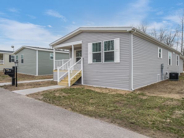
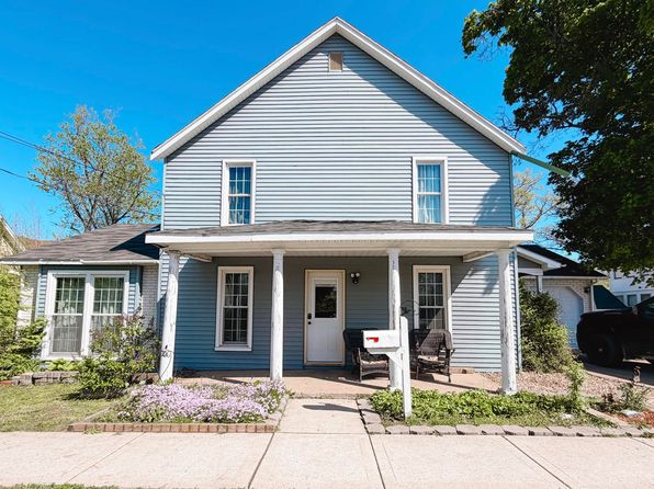
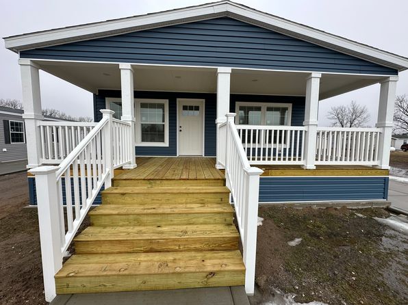
Similar properties in Rensselaer

Other for-sale homes in Rensselaer within about 20% of this listing's price. Open a property for a HoodScore safety preview.

$199,900
3 bd | 2 ba | 1,568 sqft
3918 N Clubhouse Rd
Rensselaer, IN, 47978
View Safety Report
$194,500
3 bd | 2 ba | 1,568 sqft
3900 N Clubhouse Rd
Rensselaer, IN, 47978
View Safety Report
$189,500
2 bd | 2 ba | 1,352 sqft
4570 Meadow Lake Ln
Rensselaer, IN, 47978
View Safety Report
$169,900
3 bd | 3 ba | 2,900 sqft
301 S Van Rensselaer St
Rensselaer, IN, 47978
View Safety Report

Frequently asked questions

Is 0 W County Road 400 N in a low-crime area?

The current report summarizes crime-related incidents within 5 miles during the last 12 months. HoodScore compares these records with relevant benchmarks, but no report can guarantee future safety.

Why are traffic and medical calls shown separately from crime?

Traffic, medical and fire records are public-safety incidents but are not necessarily crimes. HoodScore separates them to avoid overstating the crime count.

How often is this HoodScore report updated?

The report displays its generated date. Update frequency varies by source and is explained in the HoodScore methodology.

How is the HoodScore calculated?

HoodScore combines nearby crime and offender data into a neighborhood safety score. Visit https://www.hoodscore.com/hoodscore-calculator.html to see how the calculation works.