Crime & Safety Report for 1701 Ambleside Dr, Springfield, IL 62711

Review crime and safety information near 1701 Ambleside Dr, Springfield, IL 62711. HoodScore summarizes nearby reported incidents, registered sex offenders, and neighborhood safety indicators to help buyers and renters perform better location due diligence.

Generated At — 2026-07-25

Distance rings: 1 mi and 2 mi from the property.

PropertyIncidentsOffenders

Unlock the full safety report before making a decision about this neighborhood.

Full report contains 279 offenders within 5 miles and 3822 crime incidents in the last 12 months.

279 Registered Sex Offenders within 5 miles Near 1701 Ambleside Dr, Springfield, IL 62711

279 Registered Offenders Nearby
113 Rape
99 Child Involved
152 Assault
15 Other
Photo Name / Age / Tags Arrest / Conviction Address Distance Risk
Offender photo

NEAL, KENNETH

47 years old

Violent

1128 E EAST PINE STREE SPRINGFIELD, IL, 62704
3.6 Medium
Offender photo

HOLLINGSWORTH, TORY R

33 years old

Child Involved

2317 S 10TH ST 1D SPRINGFIELD, IL, 62703
4.1 Medium
Offender photo

HUTTON, CODY H

32 years old

Child Involved

911 S 3RD ST SPRINGFIELD, IL, 62703
3.7 Medium
Offender photo

LOVE, JAMES RAMON

41 years old

Child Involved

3321 SMYTHBERRY LN 2 SPRINGFIELD, IL, 62711
0.4 High
Offender photo

TILLMAN, EUGENE LEROY

63 years old

Rapist

Violent

UNK E ADDRESS UNKNOWN UNK, IL, 62701
4 Medium

3822 Crime & Incidents in the Last 12 Months

3822 Crime & Incidents by Severity
502 Severe
696 Medium
957 Low
1667 Other
Crime Location (Approx.) Severity Description

Traffic

07/16/2026 09:38 PM

State Rte 4, Springfield, IL

LOW

As discussed during the dispatch call, officers conducted a traffic stop on Route 4 southbound near Lindbergh Boulevard involving a blue Dodge sedan. The vehicle’s registration reportedly came back suspended for a mandatory insurance violation, and contact with the occupants was later reported as secure.

Medical Emergency

07/16/2026 09:37 PM

N 14th St, Springfield, IL 62702

Unknown

As discussed during the dispatch call, emergency services were dispatched for a breathing problem near North 14th Street and Phillips Avenue in Springfield, Illinois. Multiple units responded to the location. The exact cross streets include Phillips Avenue and East High Street.

Traffic

07/16/2026 08:58 PM

S 13th St & S Grand Ave E, Springfield, IL 62703

LOW

As discussed during the dispatch call, officers conducted a traffic stop on a blue Ford Bronco near South 13th Street and South Grand Avenue in Springfield. The stop appeared to involve a specific license plate that was read over the radio.

Traffic

07/16/2026 08:48 PM

S 3rd St & E St Joseph St, Southern View, IL 62703

LOW

As discussed during the dispatch call, officers conduct a traffic stop near South 3rd Street and East St Joseph Street involving a blue Ford and an identified driver.

Non-Crime Event

07/16/2026 08:47 PM

E Stanford Ave, Springfield, IL 62703

Unknown

As discussed during the dispatch call, officers investigate a 911 call from a child near East Stanford Avenue in Springfield, after the child reported a grandmother had passed away and that their mother said they could not go. Dispatchers were unable to reach anyone on callback.

Nearby Schools

Schools within 2 miles of this property, nearest first.

SchoolDistance
Lindsay School0.9 mi
Owen Marsh Elem School1.5 mi
Sandburg Elem School1.9 mi

Similar properties in Springfield

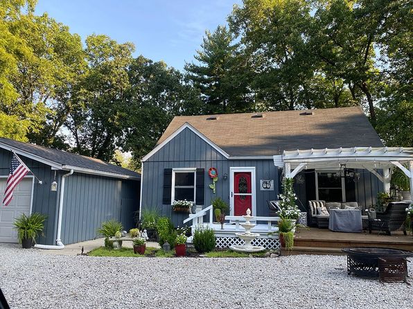
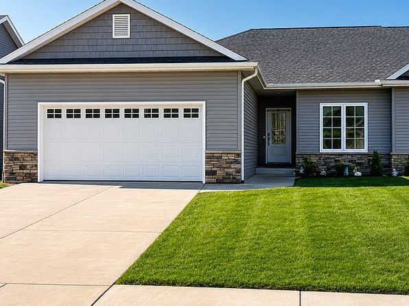
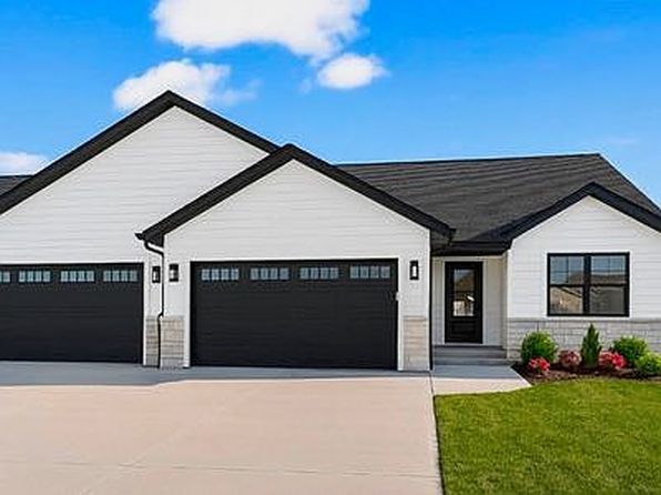
Other for-sale homes in Springfield within about 20% of this listing's price. Open a property for a HoodScore safety preview.

$425,000
4 bd | 4 ba | 4,231 sqft
50 W Hazel Dell Ln
Springfield, IL, 62703
View Safety Report
$439,900
3 bd | 3 ba | 2,457 sqft
3200 Greenbriar Dr
Springfield, IL, 62711
View Safety Report

Frequently asked questions

Is 1701 Ambleside Dr in a low-crime area?

The current report summarizes crime-related incidents within 5 miles during the last 12 months. HoodScore compares these records with relevant benchmarks, but no report can guarantee future safety.

Why are traffic and medical calls shown separately from crime?

Traffic, medical and fire records are public-safety incidents but are not necessarily crimes. HoodScore separates them to avoid overstating the crime count.

How often is this HoodScore report updated?

The report displays its generated date. Update frequency varies by source and is explained in the HoodScore methodology.

How is the HoodScore calculated?

HoodScore combines nearby crime and offender data into a neighborhood safety score. Visit https://www.hoodscore.com/hoodscore-calculator.html to see how the calculation works.