Crime & Safety Report for 6980 Diana Cir, Gainesville, GA 30506

Review crime and safety information near 6980 Diana Cir, Gainesville, GA 30506. HoodScore summarizes nearby reported incidents, registered sex offenders, and neighborhood safety indicators to help buyers and renters perform better location due diligence.

Generated At — 2026-07-26
Distance rings: 1 mi and 2 mi from the property.

PropertyIncidentsOffenders

Unlock the full safety report before making a decision about this neighborhood.

Full report contains 30 offenders within 5 miles and 13 crime incidents in the last 12 months.

30 Registered Sex Offenders within 5 miles Near 6980 Diana Cir, Gainesville, GA 30506

30 Registered Offenders Nearby
6 Rape
24 Child Involved
1 Assault
6 Other
Photo Name / Age / Tags Arrest / Conviction Address Distance Risk
Offender photo

COBB, JAMES EDWARD

61 years old

Child Involved

Rapist

CORVETTE STREET CUMMING, GA, 30041
4.3 Medium
Offender photo

LARSON, DAVID JON

61 years old

Child Involved

CASAROGA DRIVE CUMMING, GA, 30041
4.5 Medium
Offender photo

VICINI, KYLE JOSEPH

38 years old

WITS END DRIVE GAINESVILLE, GA, 30506
4.7 Medium
Offender photo

INOA, ORLANDO

41 years old

CATES AVE CUMMING, GA, 30041
3.9 Medium
Offender photo

KIMBRAL, KENNETH ALLEN

51 years old

Child Involved

Rapist

SMITH DRIVE CUMMING, GA, 30041
4.2 Medium

13 Crime & Incidents in the Last 12 Months

13 Crime & Incidents by Severity
2 Medium
4 Low
7 Other
Crime Location (Approx.) Severity Description

Medical Emergency

07/14/2026 12:25 PM

Odyssey Trail, Gainesville, GA 30506

Unknown

As discussed during the dispatch call, a medical emergency involving a five-month-old infant who was conscious and breathing occurred near Odyssey Trail and Peachtree Ridge.

Assault Report

07/12/2026 11:57 AM

Freedom Pkwy, Cumming, GA 30041

Unknown

As discussed during the dispatch call, dispatchers received a possible road rage complaint at a grocery store parking lot on Freedom Parkway in Cumming, Georgia. A caller reported that a man had been tailgating her, followed her into the lot, continued following her, and tried to get out of his vehicle to approach her car. Responding units arrived and spoke with the caller.

Traffic

07/06/2026 01:02 PM

Browns Bridge Rd, Cumming, GA 30028

LOW

As discussed during the dispatch call, a caller reported that a red dump truck with no license plate was losing rocks and apparently broke the caller’s windshield near a gas station on Browns Bridge Road. The dump truck then turned into the gas station, and both vehicles were later on the roadway between the gas station and a nearby restaurant.

Suspicious Activity

07/04/2026 07:33 PM

Browns Bridge Rd, Gainesville, GA 30506

MEDIUM

As discussed during the dispatch call, officers issued a lookout for a blue Honda Civic that was reportedly involved in a possible impaired-driving situation near Browns Bridge Road and a nearby discount store. The caller who reported the vehicle is no longer following it.

Other Crimes

06/28/2026 09:58 AM

Charleston Park, 5850 Charleston Park Rd, Cumming, GA 30041

Unknown

As discussed during the dispatch call, marine units were dispatched to a report of a pontoon boat near Charleston Park, where a male operator was reportedly towing riders on the water very close to the shoreline and buoys.

Nearby Schools

Schools within 2 miles of this property, nearest first.

SchoolDistance
Little Mill Middle School0.4 mi
East Forsyth High School1.5 mi

Similar properties in Gainesville

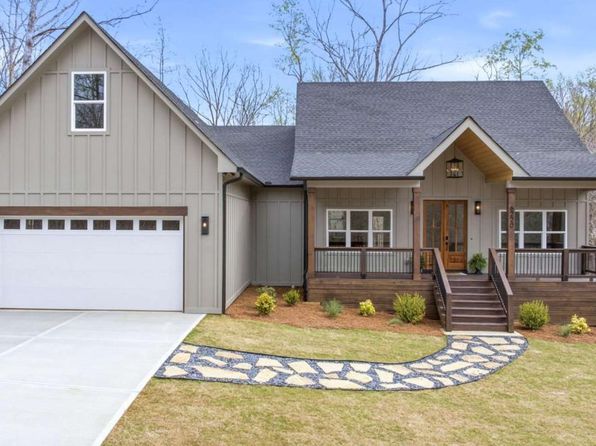
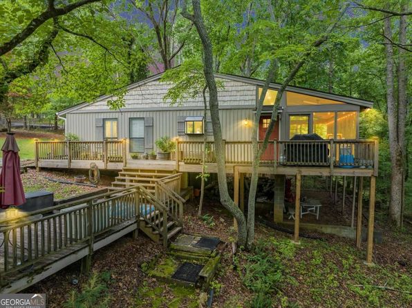
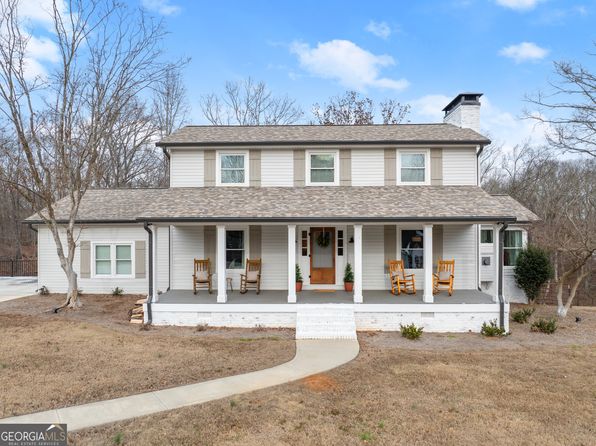
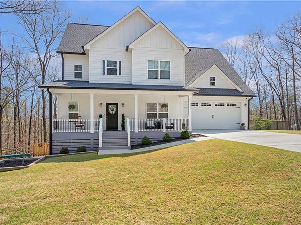
Other for-sale homes in Gainesville within about 20% of this listing's price. Open a property for a HoodScore safety preview.

$629,900
4 bd | 4 ba | 2,677 sqft
6121 Timberidge Dr
Gainesville, GA, 30506
View Safety Report
$619,900
4 bd | 4 ba | 3,769 sqft
8670 Woodland View Dr
Gainesville, GA, 30506
View Safety Report
$635,000
5 bd | 3 ba | 3,145 sqft
6580 Providence Lake Dr
Gainesville, GA, 30506
View Safety Report
$650,000
4 bd | 3 ba | 2,705 sqft
5969 Wellington Ave
Gainesville, GA, 30506
View Safety Report

Frequently asked questions

Is 6980 Diana Cir in a low-crime area?

The current report summarizes crime-related incidents within 5 miles during the last 12 months. HoodScore compares these records with relevant benchmarks, but no report can guarantee future safety.

Why are traffic and medical calls shown separately from crime?

Traffic, medical and fire records are public-safety incidents but are not necessarily crimes. HoodScore separates them to avoid overstating the crime count.

How often is this HoodScore report updated?

The report displays its generated date. Update frequency varies by source and is explained in the HoodScore methodology.

How is the HoodScore calculated?

HoodScore combines nearby crime and offender data into a neighborhood safety score. Visit https://www.hoodscore.com/hoodscore-calculator.html to see how the calculation works.