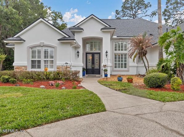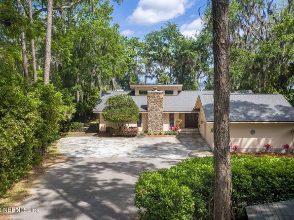
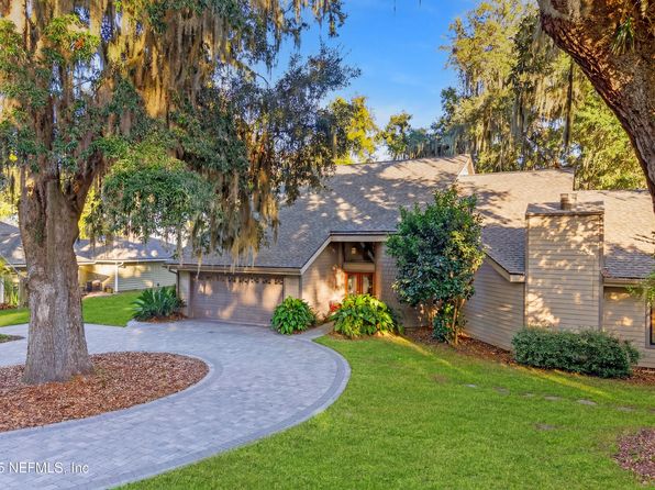
Crime & Safety Report for 6215 WEST SHORES Road, Fleming Island, FL 32003

Review crime and safety information near 6215 WEST SHORES Road, Fleming Island, FL 32003. HoodScore summarizes nearby reported incidents, registered sex offenders, and neighborhood safety indicators to help buyers and renters perform better location due diligence.

Generated At — 2026-07-25

Distance rings: 1 mi and 2 mi from the property.

PropertyIncidentsOffenders

Unlock the full safety report before making a decision about this neighborhood.

Full report contains 28 offenders within 5 miles and 118 crime incidents in the last 12 months.

28 Registered Sex Offenders within 5 miles Near 6215 WEST SHORES Road, Fleming Island, FL 32003

28 Registered Offenders Nearby
0 Rape
17 Child Involved
2 Assault
11 Other
Photo Name / Age / Tags Arrest / Conviction Address Distance Risk
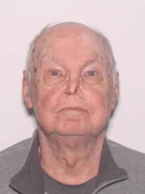
Offender photo

GERUSH, STEPHEN ALEXANDER

85 years old

Child Involved

1950 LITTLE RIVER DR FLEMING ISLAND, FL, 32003
3.1 Medium
Offender photo

PAPSON, GENE MITCHEL

60 years old

Lewd or lascivious molestation victim 12-15 years old offender 18 or older; F.S. 800.04(5)(c)(2) (PRINCIPAL)

2024-09-02T17:06:34

1688 COUNTY ROAD 315B GREEN COVE SPRINGS, FL, 32043
4.3 Medium
Offender photo

POWELL, SAMUEL ELBERT

64 years old

472 OLDFIELD DR FLEMING ISLAND, FL, 32003
2.3 Medium
Offender photo

MAJOR, JOHN TREVOR

64 years old

1598 CALMING WATER DR FLEMING ISLAND, FL, 32003
1.3 Medium
Offender photo

KRIEDEMAN, JUSTIN SCOTT

33 years old

Child Involved

2717 COLD STREAM LN GREEN COVE SPRINGS, FL, 32043
4.4 Medium

118 Crime & Incidents in the Last 12 Months

118 Crime & Incidents by Severity
14 Severe
5 Medium
2 Low
97 Other
Crime Location (Approx.) Severity Description

Medical Emergency

07/16/2026 10:11 AM

Hillcrest Heights Ave, St Johns, FL 32259

Unknown

As discussed during the dispatch call, emergency crews were dispatched for a possible traumatic injury near Hillcrest Heights Avenue in St. Johns, with Engine 2 responding in zone 2.

Fire

07/14/2026 09:25 AM

Molasses Ct, Fruit Cove, FL 32259

MEDIUM

As discussed during the dispatch call, fire units were dispatched to a possible residential fire alarm near Molasses Court and a separate carbon monoxide alarm near Franklin Avenue. One engine was later told it could remain available while another continued responding.

Fire

07/14/2026 08:20 AM

Crawford Ct, Fruit Cove, FL 32259

MEDIUM

As discussed during the dispatch call, fire units were dispatched to a possible residential fire alarm near Crawford Drive in Zone 18.

Medical Emergency

07/12/2026 05:46 PM

Plantation Oaks Dr, Jacksonville, FL 32223

Unknown

As discussed during the dispatch call, emergency crews were dispatched to a possible medical issue near Plantation Oaks Drive in Jacksonville, with a fire engine and rescue unit responding from District 42.

Fire

07/10/2026 04:37 AM

State Rd 13 N, Fruit Cove, FL 32259

MEDIUM

As discussed during the dispatch call, fire units were sent to a school on State Road 13 North for a reported fire alarm, which was advised to be a manual pull station in one of the building zones.

Nearby Schools

Schools within 2 miles of this property, nearest first.

SchoolDistance
FLEMING ISLAND HIGH SCHOOL1.2 mi
ROBERT M. PATERSON ELEMENTARY1.4 mi
THUNDERBOLT ELEMENTARY SCHOOL1.7 mi

Similar properties in Fleming Island

Other for-sale homes in Fleming Island within about 20% of this listing's price. Open a property for a HoodScore safety preview.

$1,263,000
5 bd | 3 ba | 4,005 sqft
170 N RIDGE Drive
Fleming Island, FL, 32003
View Safety Report
$1,250,000
5 bd | 5 ba | 4,696 sqft
1943 ROSE MALLOW Lane
Fleming Island, FL, 32003
View Safety Report
$1,250,000
3 bd | 5 ba | 2,583 sqft
4745 RAGGEDY POINT Road
Fleming Island, FL, 32003
View Safety Report
$1,200,000
5 bd | 5 ba | 5,035 sqft
1952 ROSE MALLOW Lane
Fleming Island, FL, 32003
View Safety Report
$1,190,000
3 bd | 4 ba | 3,302 sqft
4841 RAGGEDY POINT Road
Fleming Island, FL, 32003
View Safety Report

Frequently asked questions

Is 6215 WEST SHORES Road in a low-crime area?

The current report summarizes crime-related incidents within 5 miles during the last 12 months. HoodScore compares these records with relevant benchmarks, but no report can guarantee future safety.

Why are traffic and medical calls shown separately from crime?

Traffic, medical and fire records are public-safety incidents but are not necessarily crimes. HoodScore separates them to avoid overstating the crime count.

How often is this HoodScore report updated?

The report displays its generated date. Update frequency varies by source and is explained in the HoodScore methodology.

How is the HoodScore calculated?

HoodScore combines nearby crime and offender data into a neighborhood safety score. Visit https://www.hoodscore.com/hoodscore-calculator.html to see how the calculation works.