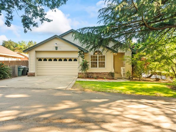
Crime & Safety Report for Southlite Circle, Sacramento, CA 95831

Review crime and safety information near Southlite Circle, Sacramento, CA 95831. HoodScore summarizes nearby reported incidents, registered sex offenders, and neighborhood safety indicators to help buyers and renters perform better location due diligence.

Generated At — 2026-07-25
Distance rings: 1 mi and 2 mi from the property.

PropertyIncidentsOffenders

Unlock the full safety report before making a decision about this neighborhood.

Full report contains 500 offenders within 5 miles and 4818 crime incidents in the last 12 months.

500 Registered Sex Offenders within 5 miles Near Southlite Circle, Sacramento, CA 95831

500 Registered Offenders Nearby
141 Rape
354 Child Involved
64 Assault
33 Other
Photo Name / Age / Tags Arrest / Conviction Address Distance Risk
Offender photo

CLARK, ADISON GREGORY

34 years old

Child Involved

2628 27TH ST SACRAMENTO, CA, 95818
4.8 Medium
Offender photo

MCGLOWN, SHAKIR DOMINQUE

40 years old

Child Involved

4313 20TH AVE SACRAMENTO, CA, 95820
4.7 Medium
Offender photo

RINCON, GREGORY

63 years old

Rapist

Violent

3938 8TH AVE SACRAMENTO, CA, 95817
4.8 Medium
Offender photo

SALAS, ANGEL

41 years old

Child Involved

4920 48TH ST SACRAMENTO, CA, 95820
4.9 Medium
Offender photo

WHITE, THOMAS R

75 years old

Child Involved

Rapist

3742 40TH ST SACRAMENTO, CA, 95820
4.7 Medium

4818 Crime & Incidents in the Last 12 Months

4818 Crime & Incidents by Severity
565 Severe
582 Medium
932 Low
2739 Other
Crime Location (Approx.) Severity Description

Other Non-Crime Event

07/16/2026 10:16 PM

7th Ave, Sacramento, CA 95818

Unknown

As discussed during the dispatch call, a truck company was dispatched for possible public assistance near 7th Avenue in district 5 under operations B3.

Disturbance

07/16/2026 10:05 PM

Willowwood Way, Sacramento, CA 95831

Unknown

As discussed during the dispatch call, officers were dispatched to a possible disturbance on or near Willowwood Way, with the reporting party waiting in the area of 22nd Street and Q Street in Sacramento.

Disturbance

07/16/2026 09:50 PM

City College Station (WB), Sacramento, CA 95818

Unknown

As discussed during the dispatch call, radio traffic reports that Sector 16 advised they were Code 4 after dealing with non-cooperative, disorderly people at City College Station in Sacramento. Another unit later confirmed they were also Code 4.

Fire

07/16/2026 09:37 PM

Sky Pkwy, Sacramento, CA 95823

MEDIUM

As discussed during the dispatch call, units are responding to a reported grass fire near Sky Parkway in District 53.

Fire

07/16/2026 09:36 PM

Sky Pkwy, Sacramento, CA 95823

MEDIUM

As discussed during the dispatch call, fire crews were dispatched to a reported grass fire near Sky Parkway in district 53, with BC9 and engines 53 and 656 assigned to operations A7.

Nearby Schools

Schools within 2 miles of this property, nearest first.

SchoolDistance
School of Engineering & Sciences0.4 mi
Caroline Wenzel Elementary0.5 mi
John F. Kennedy High0.5 mi
Sol Aureus College Preparatory0.7 mi
Yav Pem Suab Academy - Preparing for the Future Charter0.7 mi
Martin Luther King Jr.0.9 mi
Pony Express Elementary1.0 mi
Matsuyama Elementary1.2 mi
Genevieve Didion1.4 mi
Alice Birney Waldorf-Inspired1.5 mi
John Bidwell Elementary1.8 mi
John D. Sloat Elementary1.8 mi
John Morse Therapeutic Center2.0 mi
New Technology High2.0 mi

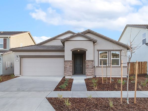
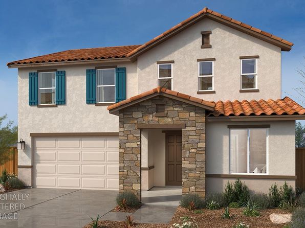
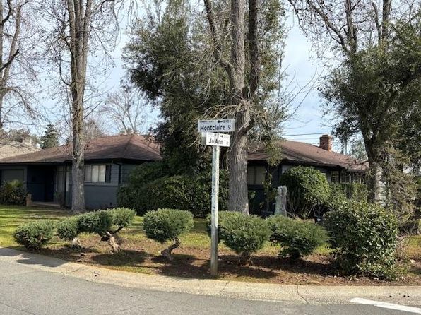
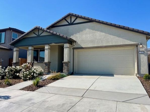
Similar properties in Sacramento

Other for-sale homes in Sacramento within about 20% of this listing's price. Open a property for a HoodScore safety preview.

$649,900
4 bd | 2 ba | 1,864 sqft
3900 Green Forest Ln
Sacramento, CA, 95821
View Safety Report
$655,000
3 bd | 3 ba | 1,638 sqft
3334 Rio Linda Blvd
Sacramento, CA, 95838
View Safety Report
$642,990
4 bd | 4 ba | 1,915 sqft
21 Oak Manor Way Lot 78
Sacramento, CA, 95838
View Safety Report
$675,000
4 bd | 3 ba | 2,339 sqft
1517 Brook Trout Way
Sacramento, CA, 95832
View Safety Report

Frequently asked questions

Is Southlite Circle in a low-crime area?

The current report summarizes crime-related incidents within 5 miles during the last 12 months. HoodScore compares these records with relevant benchmarks, but no report can guarantee future safety.

Why are traffic and medical calls shown separately from crime?

Traffic, medical and fire records are public-safety incidents but are not necessarily crimes. HoodScore separates them to avoid overstating the crime count.

How often is this HoodScore report updated?

The report displays its generated date. Update frequency varies by source and is explained in the HoodScore methodology.

How is the HoodScore calculated?

HoodScore combines nearby crime and offender data into a neighborhood safety score. Visit https://www.hoodscore.com/hoodscore-calculator.html to see how the calculation works.