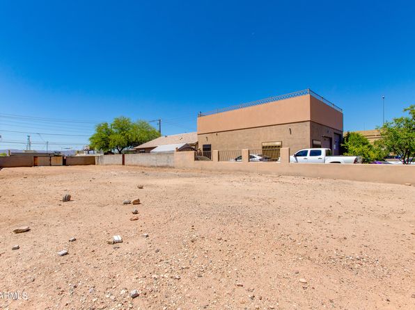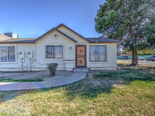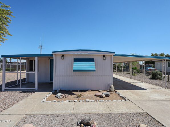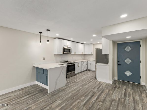
Crime & Safety Report for 7123 W HAZELWOOD Street, Phoenix, AZ 85033

Review crime and safety information near 7123 W HAZELWOOD Street, Phoenix, AZ 85033. HoodScore summarizes nearby reported incidents, registered sex offenders, and neighborhood safety indicators to help buyers and renters perform better location due diligence.

Generated At — 2026-07-26

Distance rings: 1 mi and 2 mi from the property.

PropertyIncidentsOffenders

Unlock the full safety report before making a decision about this neighborhood.

Full report contains 500 offenders within 5 miles and 9804 crime incidents in the last 12 months.

500 Registered Sex Offenders within 5 miles Near 7123 W HAZELWOOD Street, Phoenix, AZ 85033

500 Registered Offenders Nearby
21 Rape
333 Child Involved
77 Assault
92 Other
Photo Name / Age / Tags Arrest / Conviction Address Distance Risk
Offender photo

VELASCO, AVELLINO JUAN

53 years old

1501 N 43RD AVE PHOENIX, AZ, 85009
4.5 Medium
Offender photo

CUTHAIR, DANIEL

42 years old

Child Involved

7535 N 63RD AVE GLENDALE, AZ, 85301
3.1 Medium
Offender photo

SANCHEZ, PATRICK

42 years old

Child Involved

4714 N 43RD AVE PHOENIX, AZ, 85031
3.5 Medium
Offender photo

BARRETT, RAYWARD CORDELL

78 years old

Child Involved

3804 W FLOWER ST PHOENIX, AZ, 85019
4.3 Medium
Offender photo

BRIDGES, EVERETTE CHRISHAUN

44 years old

Child Involved

4248 W CHEERY LYNN RD PHOENIX, AZ, 85019
3.8 Medium

9804 Crime & Incidents in the Last 12 Months

9804 Crime & Incidents by Severity
1208 Severe
1383 Medium
2104 Low
5109 Other
Crime Location (Approx.) Severity Description

Medical Emergency

07/16/2026 10:53 PM

N 55th Ave, Glendale, AZ 85302

Unknown

As discussed during the dispatch call, a medical alarm was reported near North 55th Avenue in Glendale. Emergency personnel were dispatched to the scene.

Medical Emergency

07/16/2026 10:50 PM

N 77th Dr, Glendale, AZ 85303

Unknown

As discussed during the dispatch call, there was a report of altered level of consciousness near 77th Drive. Emergency units including Maricopa 151 and Engine 40 responded.

Medical Emergency

07/16/2026 10:50 PM

W Glendale Ave, Glendale, AZ 85301

Unknown

As discussed during the dispatch call, a medical emergency was reported near West Glendale Avenue. A special call unit was dispatched to the location.

Medical Emergency

07/16/2026 10:49 PM

W Glendale Ave, Glendale, AZ 85301

Unknown

As discussed during the dispatch call, an ill person was reported near West Glendale Avenue. Emergency services responded.

Traffic

07/16/2026 10:39 PM

59th Ave, Phoenix, AZ 85043

LOW

As discussed during the dispatch call, officers responded to a reported traffic collision near 59th Avenue in Phoenix involving a brown vehicle and a white Kia Optima, with one vehicle apparently losing control and fire crews requested.

Nearby Schools

Schools within 2 miles of this property, nearest first.

SchoolDistance
Heatherbrae School0.4 mi
Bicentennial South School0.6 mi
Academy of Math and Science Camelback0.6 mi
Holiday Park School0.7 mi
Camelback Academy0.7 mi
Westland School0.8 mi
Premier Charter High School0.8 mi
ACCLAIM Academy0.9 mi
Tomahawk School1.0 mi
Desert Sands Academy of Mass Communication & Journalism1.0 mi
Estrella Middle School1.0 mi
West-MEC Western School Science Technology1.1 mi
Western School of Science and Technology1.1 mi
Don Mensendick School1.1 mi
William C Jack School1.1 mi

Similar properties in Phoenix

Other for-sale homes in Phoenix within about 20% of this listing's price. Open a property for a HoodScore safety preview.

$224,999
2 bd | 2 ba | 1,055 sqft
2506 W CARIBBEAN Lane #10
Phoenix, AZ, 85023
View Safety Report
$225,000
2 bd | 2 ba | 1,400 sqft
3901 E PINNACLE PEAK Road #283
Phoenix, AZ, 85050
View Safety Report
$229,000
2 bd | 2 ba | 1,036 sqft
10828 N BILTMORE Drive #162
Phoenix, AZ, 85029
View Safety Report
$229,900
2 bd | 2 ba | 1,102 sqft
355 E THOMAS Road #B106
Phoenix, AZ, 85012
View Safety Report

Frequently asked questions

Is 7123 W HAZELWOOD Street in a low-crime area?

The current report summarizes crime-related incidents within 5 miles during the last 12 months. HoodScore compares these records with relevant benchmarks, but no report can guarantee future safety.

Why are traffic and medical calls shown separately from crime?

Traffic, medical and fire records are public-safety incidents but are not necessarily crimes. HoodScore separates them to avoid overstating the crime count.

How often is this HoodScore report updated?

The report displays its generated date. Update frequency varies by source and is explained in the HoodScore methodology.

How is the HoodScore calculated?

HoodScore combines nearby crime and offender data into a neighborhood safety score. Visit https://www.hoodscore.com/hoodscore-calculator.html to see how the calculation works.