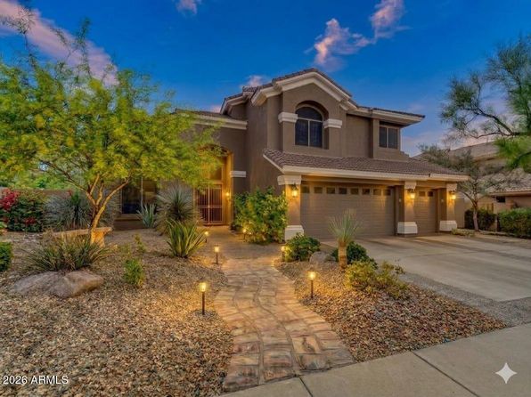
Crime & Safety Report for 2020 E STATE Avenue, Phoenix, AZ 85020

Review crime and safety information near 2020 E STATE Avenue, Phoenix, AZ 85020. HoodScore summarizes nearby reported incidents, registered sex offenders, and neighborhood safety indicators to help buyers and renters perform better location due diligence.

Generated At — 2026-07-26
Distance rings: 1 mi and 2 mi from the property.

PropertyIncidentsOffenders

Unlock the full safety report before making a decision about this neighborhood.

Full report contains 500 offenders within 5 miles and 11527 crime incidents in the last 12 months.

500 Registered Sex Offenders within 5 miles Near 2020 E STATE Avenue, Phoenix, AZ 85020

500 Registered Offenders Nearby
15 Rape
320 Child Involved
80 Assault
101 Other
Photo Name / Age / Tags Arrest / Conviction Address Distance Risk
Offender photo

BALES, TIMOTHY ALLEN

71 years old

Child Involved

5240 N 17TH AVE PHOENIX, AZ, 85015
3.9 Medium
Offender photo

BARTON, DAVID

35 years old

SW BETHANY AND 19TH AVE PHOENIX, AZ, 85012
3.9 Medium
Offender photo

BENAVIDEZ, PETE MENDOZA

66 years old

222 E INDIANOLA AVE PHOENIX, AZ, 85012
4 Medium
Offender photo

BLISS, THOMAS JAMES

63 years old

6819 N 12TH ST PHOENIX, AZ, 85014
1.1 Medium
Offender photo

BRACAMONTES, FLAVIO

26 years old

SE 19TH AND CAMELBACK RD PHOENIX, AZ, 85015
4.3 Medium

11527 Crime & Incidents in the Last 12 Months

11527 Crime & Incidents by Severity
1431 Severe
1491 Medium
2775 Low
5830 Other
Crime Location (Approx.) Severity Description

Medical Emergency

07/16/2026 11:03 PM

N 32nd St, Phoenix, AZ 85032

Unknown

As discussed during the dispatch call, rescue 31 is dispatched for a medical call involving an ill person near N 32nd St in Phoenix.

Medical Emergency

07/16/2026 11:03 PM

E Camelback Rd, Phoenix, AZ 85018

Unknown

As discussed during the dispatch call, a medical call for a person down near (number withheld) Camelback Road involving Medical Response 18.

Traffic

07/16/2026 10:51 PM

AZ-51, Phoenix, AZ

LOW

As discussed during the dispatch call, officers respond to a reported traffic hazard involving a white Ford Mustang on northbound Highway 51 near milepost 5, where someone is apparently trying to have the vehicle removed.

Traffic

07/16/2026 10:51 PM

E Thomas Rd & N 20th St, Phoenix, AZ 85006

LOW

As discussed during the dispatch call, officers conduct a possible high-risk traffic stop on a black sedan near a liquor store at 20th Street and Thomas Road in Phoenix, following a report that may involve a weapon-related code.

Domestic Dispute

07/16/2026 10:48 PM

W Bethany Home Rd, Phoenix, AZ

Unknown

As discussed during the dispatch call, dispatch received a call about a possible child custody exchange dispute at townhomes near West Bethany Home Road in Phoenix. A complainant reported having custody paperwork and requested officers to assist with picking up a minor child from the other parent. The complainant said he was waiting on the west side of the complex near a white Toyota Tacoma.

Nearby Schools

Schools within 2 miles of this property, nearest first.

SchoolDistance
Madison Heights Elementary School0.2 mi
ASDB - ELP FBC Main Preschool1.2 mi
Leona Connected High School1.3 mi
Madison Richard Simis School1.4 mi
Madison Traditional Academy1.6 mi
Madison Rose Lane School1.7 mi
Madison Virtual Academy1.9 mi
Madison #1 Elementary School1.9 mi
Montessori Day Public Schools Chartered - Mountainside2.0 mi

Similar properties in Phoenix

Other for-sale homes in Phoenix within about 20% of this listing's price. Open a property for a HoodScore safety preview.

$1,295,000
3 bd | 2 ba | 1,880 sqft
6502 N CENTRAL Avenue #D402
Phoenix, AZ, 85012
View Safety Report
$1,295,000
4 bd | 4 ba | 3,122 sqft
3814 W RUNNING DEER Trail
Phoenix, AZ, 85083
View Safety Report
$1,350,000
5 bd | 5 ba | 4,018 sqft
3816 W White Feather Lane
Phoenix, AZ, 85083
View Safety Report
$1,275,000
4 bd | 3 ba | 3,373 sqft
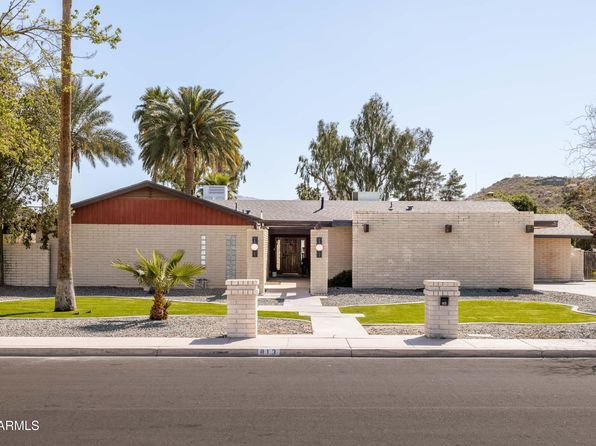
813 W GLENEAGLES Drive
Phoenix, AZ, 85023
View Safety Report

Frequently asked questions

Is 2020 E STATE Avenue in a low-crime area?

The current report summarizes crime-related incidents within 5 miles during the last 12 months. HoodScore compares these records with relevant benchmarks, but no report can guarantee future safety.

Why are traffic and medical calls shown separately from crime?

Traffic, medical and fire records are public-safety incidents but are not necessarily crimes. HoodScore separates them to avoid overstating the crime count.

How often is this HoodScore report updated?

The report displays its generated date. Update frequency varies by source and is explained in the HoodScore methodology.

How is the HoodScore calculated?

HoodScore combines nearby crime and offender data into a neighborhood safety score. Visit https://www.hoodscore.com/hoodscore-calculator.html to see how the calculation works.